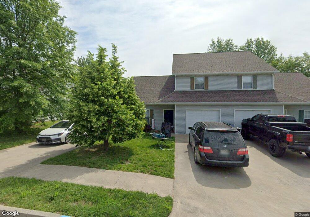
1010 Boulder Ct Fulton, MO 65251
Estimated Value: $261,000 - $478,047
8
Beds
5
Baths
2,452
Sq Ft
$150/Sq Ft
Est. Value
About This Home
This home is located at 1010 Boulder Ct, Fulton, MO 65251 and is currently estimated at $368,762, approximately $150 per square foot. 1010 Boulder Ct is a home located in Callaway County with nearby schools including Fulton Senior High School, Kingdom Christian Academy, and St. Peter Catholic School.
Ownership History
Date
Name
Owned For
Owner Type
Purchase Details
Closed on
Apr 25, 2025
Sold by
Benson Eric J and Benson Jami L
Bought by
Je Inv 1010-1012 Boulder Ct Llc
Current Estimated Value
Purchase Details
Closed on
May 29, 2022
Sold by
Oestreich Rentals Llc
Bought by
Benson Eric J and Benson Jami L
Purchase Details
Closed on
Jul 3, 2007
Sold by
Mike Doerhoff Development Llc
Bought by
Dillon Jamie L
Create a Home Valuation Report for This Property
The Home Valuation Report is an in-depth analysis detailing your home's value as well as a comparison with similar homes in the area
Home Values in the Area
Average Home Value in this Area
Purchase History
| Date | Buyer | Sale Price | Title Company |
|---|---|---|---|
| Je Inv 1010-1012 Boulder Ct Llc | -- | None Listed On Document | |
| Je Inv 1010-1012 Boulder Ct Llc | -- | None Listed On Document | |
| Benson Eric J | -- | None Listed On Document | |
| Dillon Jamie L | -- | -- |
Source: Public Records
Tax History
| Year | Tax Paid | Tax Assessment Tax Assessment Total Assessment is a certain percentage of the fair market value that is determined by local assessors to be the total taxable value of land and additions on the property. | Land | Improvement |
|---|---|---|---|---|
| 2025 | $1,921 | $31,088 | $0 | $0 |
| 2024 | $1,921 | $31,088 | $0 | $0 |
| 2023 | $1,923 | $30,613 | $0 | $0 |
| 2022 | $1,884 | $30,613 | $1,425 | $29,188 |
| 2021 | $1,882 | $30,613 | $1,425 | $29,188 |
| 2020 | $1,909 | $30,613 | $1,425 | $29,188 |
| 2019 | $1,846 | $30,613 | $1,425 | $29,188 |
| 2018 | $1,991 | $31,909 | $1,425 | $30,484 |
| 2017 | $1,770 | $31,909 | $1,425 | $30,484 |
| 2016 | $1,870 | $32,300 | $0 | $0 |
| 2015 | $1,828 | $32,300 | $0 | $0 |
| 2014 | -- | $33,030 | $0 | $0 |
Source: Public Records
Map
Nearby Homes
- 1010 Boulder Ct
- 1011 Greystone Ct
- 1006 Boulder Ct
- 1009 Boulder Ct
- 0 Boulder Ct
- 1007 Greystone Ct
- 0 Greystone Ct
- 1005 Boulder Ct
- 1100 Ashton Cir E
- 1014 Greystone Ct
- 1001 Boulder Ct
- 701 Collier Ln
- 1013 Granite Ct
- 1013 Granite Ct
- 104 Ashton Cir
- 1009 Granite Ct
- 1015 Granite Ct
- 700 Gary St
- 600 Collier Ln
- 997 Boulder Ct
Your Personal Tour Guide
Ask me questions while you tour the home.