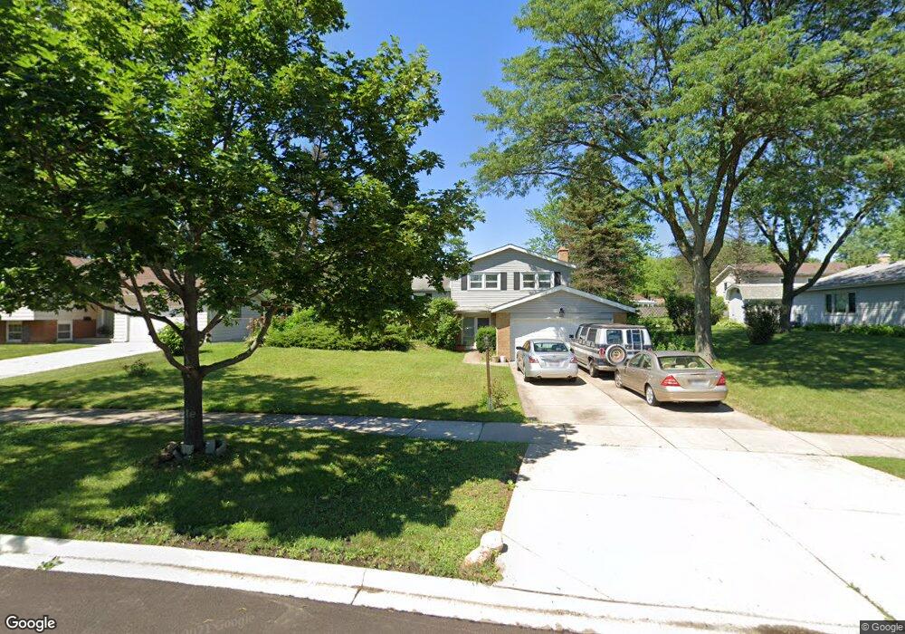
1010 Hinsbrook Ave Darien, IL 60561
Darien AreaEstimated Value: $432,719 - $512,000
About This Home
This home is located at 1010 Hinsbrook Ave, Darien, IL 60561 and is currently estimated at $468,930, approximately $415 per square foot. 1010 Hinsbrook Ave is a home located in DuPage County with nearby schools including Mark Delay School, Lace Elementary School, and Eisenhower Jr High School.
Ownership History
We collect this data history from publicly available records. To have your information removed, we recommend requesting removal directly through your county’s website.
Purchase Details
Purchase Details
Home Values in the Area
Average Home Value in this Area
Purchase History
We collect this data history from publicly available records. To have your information removed, we recommend requesting removal directly through your county’s website.
| Date | Buyer | Sale Price | Title Company |
|---|---|---|---|
| -- | Attorney | ||
| -- | -- |
Mortgage History
We collect this data history from publicly available records. To have your information removed, we recommend requesting removal directly through your county’s website.
| Date | Status | Borrower | Loan Amount |
|---|---|---|---|
| Closed | $75,000 |
Tax History
We collect this data history from publicly available records. To have your information removed, we recommend requesting removal directly through your county’s website.
| Year | Tax Paid | Tax Assessment Tax Assessment Total Assessment is a certain percentage of the fair market value that is determined by local assessors to be the total taxable value of land and additions on the property. | Land | Improvement |
|---|---|---|---|---|
| 2024 | $7,470 | $123,944 | $52,671 | $71,273 |
| 2023 | $7,190 | $113,940 | $48,420 | $65,520 |
| 2022 | $7,471 | $111,600 | $47,430 | $64,170 |
| 2021 | $7,191 | $110,330 | $46,890 | $63,440 |
| 2020 | $7,102 | $108,140 | $45,960 | $62,180 |
| 2019 | $6,881 | $103,760 | $44,100 | $59,660 |
| 2018 | $6,492 | $98,690 | $43,890 | $54,800 |
| 2017 | $6,443 | $94,960 | $42,230 | $52,730 |
| 2016 | $6,293 | $90,620 | $40,300 | $50,320 |
| 2015 | $6,228 | $85,250 | $37,910 | $47,340 |
| 2014 | $5,950 | $80,280 | $36,860 | $43,420 |
| 2013 | $5,754 | $79,910 | $36,690 | $43,220 |
Map
- 1121 Lacebark Ct
- 6716 Trenton Ln
- 1120 Ponderosa Ct
- 1128 Bristlecone Ct
- 18W088 Claremont Dr
- 38 Crab Tree Dr
- 18W193 Holly Ave
- 7329 Richmond Ave
- 109 Peach Tree Ln
- 1333 Ridge Rd
- 1523 Apple Grove Ln Unit 1523
- 509 69th St
- 61 W Pier Dr Unit 201
- 6136 Bentley Ave
- 1320 Cass Ln W Unit 201
- 7413 Brookdale Dr Unit 212
- 7425 Brookdale Dr Unit 113
- 7422 Brookdale Dr Unit 111
- 7510 Farmingdale Dr Unit 304
- 7510 Farmingdale Dr Unit 210
- 6910 Wilmette Ave
- 6918 Wilmette Ave
- 1001 69th St
- 6913 Wilmette Ave
- 1009 69th St
- 6917 Wilmette Ave
- 1014 Hinsbrook Ave
- 6921 Wilmette Ave
- 929 69th St
- 6909 Wilmette Ave
- 1013 69th St
- 1018 Hinsbrook Ave
- 925 69th St
- 1017 69th St
- 934 Ironwood Ave
- 938 Ironwood Ave
- 942 Ironwood Ave
- 1006 69th St
- 1002 69th St
- 921 69th St
Ask me questions while you tour the home.