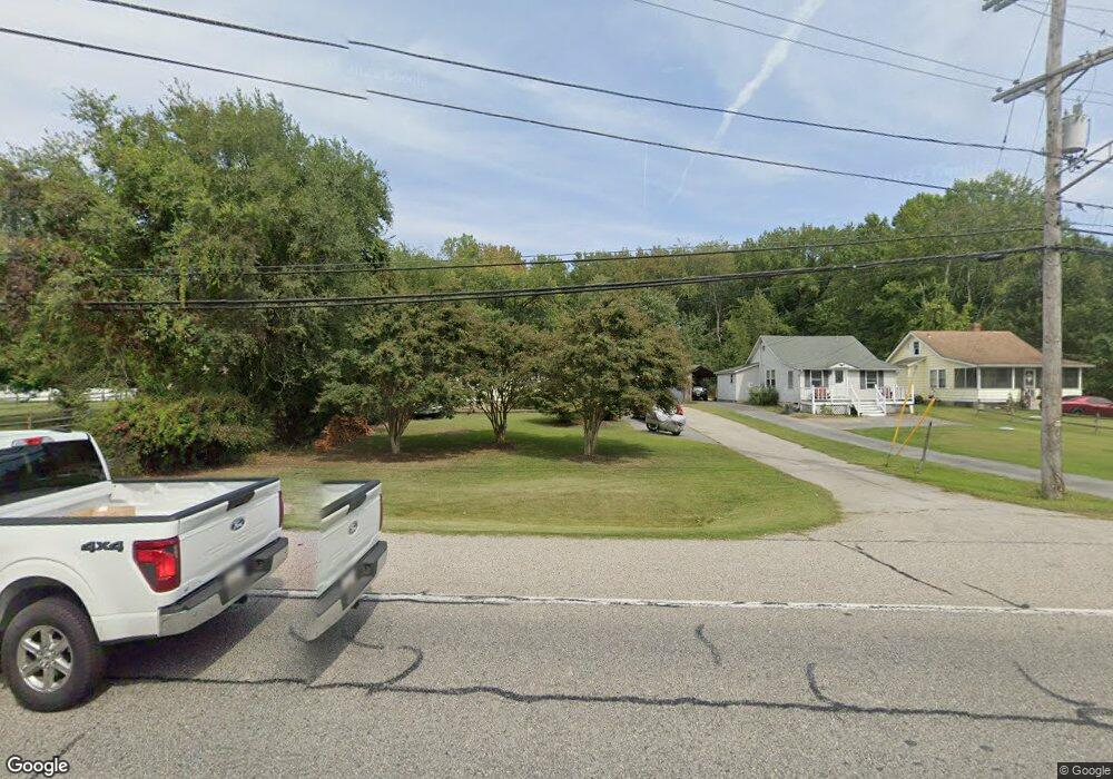
1010 Mayo Rd Edgewater, MD 21037
Selby-on-the-Bay NeighborhoodEstimated Value: $386,000 - $462,000
Studio
1
Bath
1,104
Sq Ft
$384/Sq Ft
Est. Value
About This Home
This home is located at 1010 Mayo Rd, Edgewater, MD 21037 and is currently estimated at $424,168, approximately $384 per square foot. 1010 Mayo Rd is a home located in Anne Arundel County with nearby schools including Mayo Elementary School, Central Middle School, and South River High School.
Ownership History
Date
Name
Owned For
Owner Type
Purchase Details
Closed on
Feb 28, 2013
Sold by
Creswell Jennifer L and Giunta Thomas
Bought by
Rogers Richard and Walter Holly
Current Estimated Value
Purchase Details
Closed on
May 25, 1987
Sold by
Nolan John
Bought by
Miller Donald L
Home Financials for this Owner
Home Financials are based on the most recent Mortgage that was taken out on this home.
Original Mortgage
$80,150
Interest Rate
10.81%
Create a Home Valuation Report for This Property
The Home Valuation Report is an in-depth analysis detailing your home's value as well as a comparison with similar homes in the area
Home Values in the Area
Average Home Value in this Area
Purchase History
| Date | Buyer | Sale Price | Title Company |
|---|---|---|---|
| Rogers Richard | $195,000 | None Available | |
| Miller Donald L | $79,000 | -- |
Source: Public Records
Mortgage History
| Date | Status | Borrower | Loan Amount |
|---|---|---|---|
| Previous Owner | Miller Donald L | $80,150 |
Source: Public Records
Tax History
| Year | Tax Paid | Tax Assessment Tax Assessment Total Assessment is a certain percentage of the fair market value that is determined by local assessors to be the total taxable value of land and additions on the property. | Land | Improvement |
|---|---|---|---|---|
| 2025 | $4,498 | $375,933 | -- | -- |
| 2024 | $4,498 | $364,867 | $0 | $0 |
| 2023 | $4,337 | $353,800 | $253,800 | $100,000 |
| 2022 | $4,118 | $352,933 | $0 | $0 |
| 2020 | $4,061 | $351,200 | $253,800 | $97,400 |
| 2019 | $3,777 | $323,800 | $0 | $0 |
| 2018 | $3,006 | $296,400 | $0 | $0 |
| 2017 | $3,124 | $269,000 | $0 | $0 |
| 2016 | -- | $267,867 | $0 | $0 |
| 2015 | -- | $266,733 | $0 | $0 |
| 2014 | -- | $265,600 | $0 | $0 |
Source: Public Records
Map
Nearby Homes
- 3715 5th Ave
- 3819 Twin Oaks Dr
- 3718 4th Ave
- 823 Selby Blvd
- 3829 Twin Oaks Dr
- 0 Old Turkey Point Rd
- 3831 Twin Oaks Dr
- 3736 Beach Drive Blvd
- 851 Annapolis Ave
- 1055 Old Turkey Point Rd
- 3700 Beach Drive Blvd
- 3704 Devonann Ln
- 3705 Devonann Ln
- 3675 1st Ave
- 3685 1st Ave
- 3706 Devonann Ln
- LOT 330 2nd Ave
- 3887 Cotter Dr
- 3893 Cotter Dr
- 3622 Edgemont St
- 1012 Mayo Rd
- 1014 Mayo Rd
- 907 Winding Rd
- 903 Winding Rd
- 1014 Old Turkey Point Rd
- 3801 Ponder Dr
- Winding Rd
- 906 Winding Rd
- 3730 6th Ave
- 1016 Old Turkey Point Rd
- 935 Winding Rd
- 3805 Ponder Dr
- 3726 6th Ave
- 1006 Mayo Rd
- 3723 7th Ave
- 931 Winding Rd
- 920 Winding Rd
- 968 Mayo Rd
- 969 Mayo Rd
- 1018 Old Turkey Point Rd
Your Personal Tour Guide
Ask me questions while you tour the home.