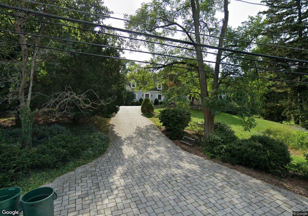
1011 Boyce Ave Towson, MD 21204
Ruxton NeighborhoodEstimated Value: $698,000 - $907,278
About This Home
This home is located at 1011 Boyce Ave, Towson, MD 21204 and is currently estimated at $801,093, approximately $241 per square foot. 1011 Boyce Ave is a home located in Baltimore County with nearby schools including West Towson Elementary School, Dumbarton Middle School, and Towson High Law & Public Policy.
Ownership History
We collect this data history from publicly available records. To have your information removed, we recommend requesting removal directly through your county’s website.
Purchase Details
Home Financials for this Owner
Home Financials are based on the most recent Mortgage that was taken out on this home.Purchase Details
Home Values in the Area
Average Home Value in this Area
Purchase History
We collect this data history from publicly available records. To have your information removed, we recommend requesting removal directly through your county’s website.
| Date | Buyer | Sale Price | Title Company |
|---|---|---|---|
| $675,000 | Lawyers Trust Title Company | ||
| $310,000 | -- |
Mortgage History
We collect this data history from publicly available records. To have your information removed, we recommend requesting removal directly through your county’s website.
| Date | Status | Borrower | Loan Amount |
|---|---|---|---|
| Open | $45,500 | ||
| Open | $494,500 |
Tax History
We collect this data history from publicly available records. To have your information removed, we recommend requesting removal directly through your county’s website.
| Year | Tax Paid | Tax Assessment Tax Assessment Total Assessment is a certain percentage of the fair market value that is determined by local assessors to be the total taxable value of land and additions on the property. | Land | Improvement |
|---|---|---|---|---|
| 2025 | $7,824 | $590,100 | $330,200 | $259,900 |
| 2024 | $7,824 | $571,200 | $0 | $0 |
| 2023 | $3,505 | $552,300 | $0 | $0 |
| 2022 | $6,006 | $533,400 | $307,000 | $226,400 |
| 2021 | $6,228 | $515,600 | $0 | $0 |
| 2020 | $6,033 | $497,800 | $0 | $0 |
| 2019 | $5,818 | $480,000 | $307,000 | $173,000 |
| 2018 | $6,000 | $480,000 | $307,000 | $173,000 |
| 2017 | $5,969 | $480,000 | $0 | $0 |
| 2016 | $4,306 | $480,100 | $0 | $0 |
| 2015 | $4,306 | $480,100 | $0 | $0 |
| 2014 | $4,306 | $480,100 | $0 | $0 |
Map
- 448 Range Rd
- 418 Range Rd
- 900 Army Rd
- 1216 Berwick Rd
- 608 Marwood Rd
- 571 Woodbine Ave
- 1006 W Joppa Rd
- 302 Dixie Dr
- 1500 Maywood Ave
- 0 Charlesway
- 605 W Joppa Rd
- 2 Riderwood Station
- 7918H Ruxway Rd
- 127 Dublin Dr
- 407 W Pennsylvania Ave
- 1213 Trappe Ln
- 405 Central Ave
- 210 Bosley Ave
- 1806 Roland Ave
- 7815 Ellenham Ave
Ask me questions while you tour the home.