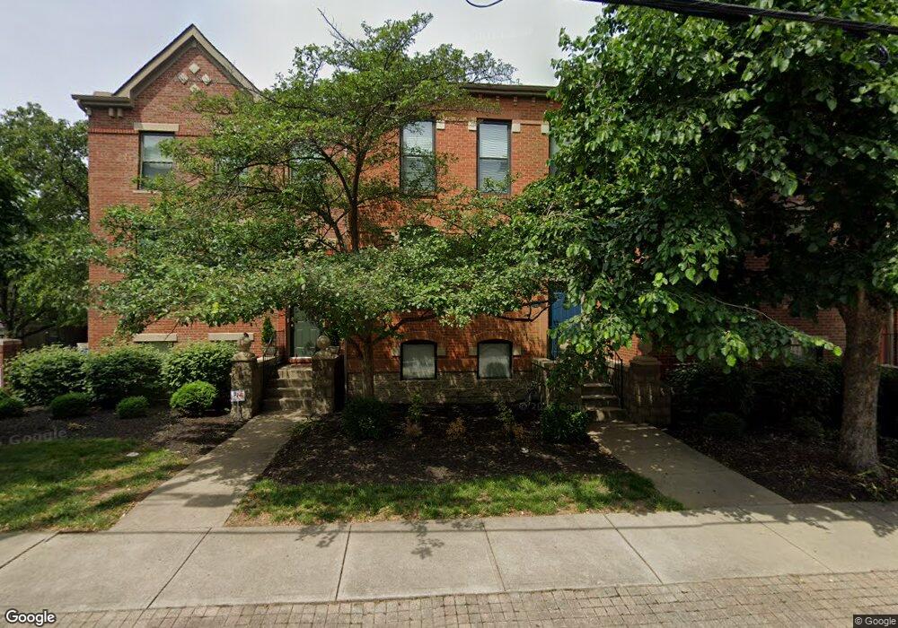
1011 John St Cincinnati, OH 45203
West End NeighborhoodEstimated Value: $318,219 - $401,000
About This Home
This home is located at 1011 John St, Cincinnati, OH 45203 and is currently estimated at $345,805, approximately $302 per square foot. 1011 John St is a home with nearby schools including Hays-Porter School, Robert A. Taft Information Technology High School, and Gilbert A. Dater High School.
Ownership History
We collect this data history from publicly available records. To have your information removed, we recommend requesting removal directly through your county’s website.
Purchase Details
Purchase Details
Home Financials for this Owner
Home Financials are based on the most recent Mortgage that was taken out on this home.Purchase Details
Home Financials for this Owner
Home Financials are based on the most recent Mortgage that was taken out on this home.Purchase Details
Home Financials for this Owner
Home Financials are based on the most recent Mortgage that was taken out on this home.Purchase Details
Home Financials for this Owner
Home Financials are based on the most recent Mortgage that was taken out on this home.Purchase Details
Home Values in the Area
Average Home Value in this Area
Purchase History
We collect this data history from publicly available records. To have your information removed, we recommend requesting removal directly through your county’s website.
| Date | Buyer | Sale Price | Title Company |
|---|---|---|---|
| -- | Attorney | ||
| $158,000 | None Available | ||
| $152,000 | None Available | ||
| $144,000 | -- | ||
| $120,000 | -- | ||
| $101,700 | United Title Agency Of Cinci |
Mortgage History
We collect this data history from publicly available records. To have your information removed, we recommend requesting removal directly through your county’s website.
| Date | Status | Borrower | Loan Amount |
|---|---|---|---|
| Closed | $121,600 | ||
| Previous Owner | $115,200 | ||
| Previous Owner | $96,000 | ||
| Closed | $28,800 |
Tax History
We collect this data history from publicly available records. To have your information removed, we recommend requesting removal directly through your county’s website.
| Year | Tax Paid | Tax Assessment Tax Assessment Total Assessment is a certain percentage of the fair market value that is determined by local assessors to be the total taxable value of land and additions on the property. | Land | Improvement |
|---|---|---|---|---|
| 2025 | $5,688 | $92,463 | $12,355 | $80,108 |
| 2024 | $5,516 | $92,463 | $12,355 | $80,108 |
| 2023 | $5,640 | $92,463 | $12,355 | $80,108 |
| 2022 | $4,453 | $68,009 | $9,643 | $58,366 |
| 2021 | $4,584 | $68,009 | $9,643 | $58,366 |
| 2020 | $4,584 | $68,009 | $9,643 | $58,366 |
| 2019 | $3,457 | $46,904 | $6,650 | $40,254 |
| 2018 | $3,462 | $46,904 | $6,650 | $40,254 |
| 2017 | $3,289 | $46,904 | $6,650 | $40,254 |
| 2016 | $3,329 | $46,816 | $6,622 | $40,194 |
| 2015 | $3,001 | $46,816 | $6,622 | $40,194 |
| 2014 | $3,022 | $46,816 | $6,622 | $40,194 |
| 2013 | $3,495 | $53,200 | $7,525 | $45,675 |
Map
- 1013 John St
- 428 Elizabeth St
- 1008 John St
- 433 Clark St
- 407 Elizabeth St
- 414 Clark St
- 928 Mound St
- 1217 Central Ave
- 710 W Court St
- 734 W Court St
- 719 Ezzard Charles Dr
- 721 Ezzard Charles Dr
- 723 Ezzard Charles Dr
- 1008 Elm St
- 808 Elm St
- 1443 Laurel Park Dr
- 1330 Race St
- 1518 Race St
- 1408 Elm St
- 1124 Race St
- 512 Elizabeth St
- 510 Elizabeth St
- 508 Elizabeth St
- 514 Elizabeth St
- 506 Elizabeth St
- 504 Elizabeth St
- 502 Elizabeth St
- 1028 Mound St
- 1026 Mound St
- 1030 Mound St
- 1024 Mound St
- 1032 Mound St
- 501 Chestnut St
- 511 Elizabeth St
- 513 Elizabeth St
- 1034 Mound St
- 517 Elizabeth St
- 1036 Mound St
- 519 Elizabeth St
- 438 Elizabeth St
Ask me questions while you tour the home.