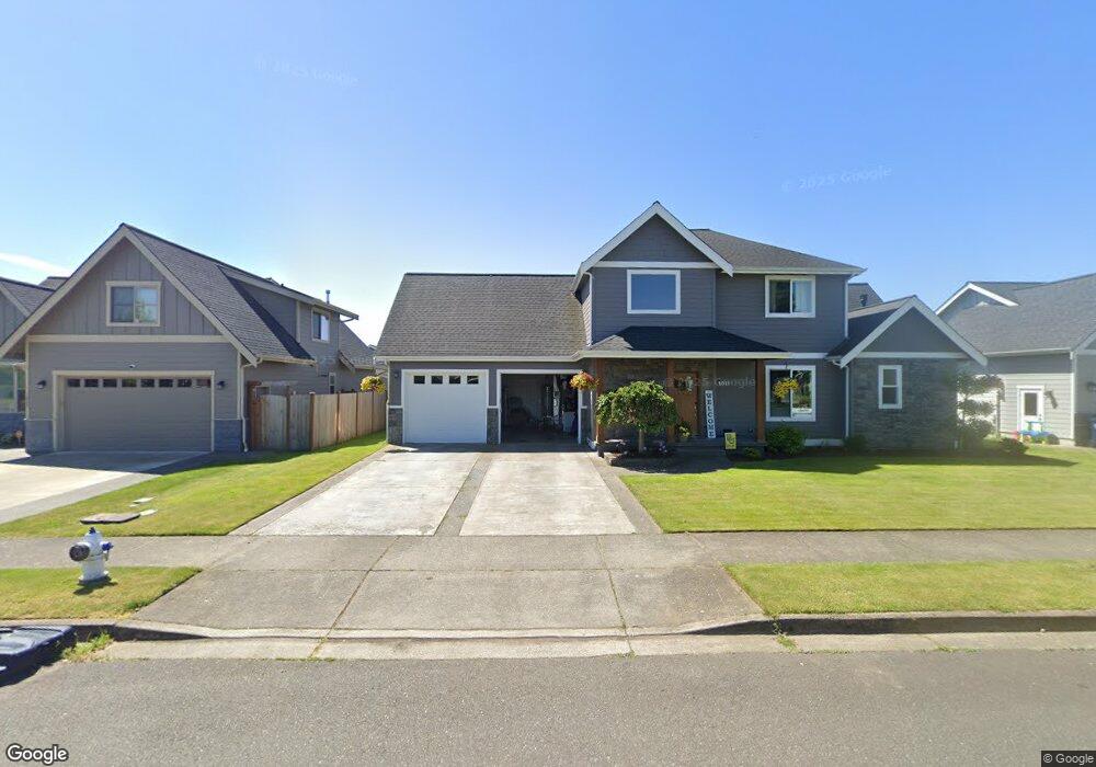
1011 Ridge Ln Everson, WA 98247
Estimated Value: $635,000 - $732,000
About This Home
This home is located at 1011 Ridge Ln, Everson, WA 98247 and is currently estimated at $682,362, approximately $272 per square foot. 1011 Ridge Ln is a home located in Whatcom County with nearby schools including Everson Elementary School, Nooksack Elementary School, and Sumas Elementary School.
Ownership History
We collect this data history from publicly available records. To have your information removed, we recommend requesting removal directly through your county’s website.
Purchase Details
Home Financials for this Owner
Home Financials are based on the most recent Mortgage that was taken out on this home.Purchase Details
Home Values in the Area
Average Home Value in this Area
Purchase History
We collect this data history from publicly available records. To have your information removed, we recommend requesting removal directly through your county’s website.
| Date | Buyer | Sale Price | Title Company |
|---|---|---|---|
| $330,280 | Chicago Title Insurance | ||
| $85,280 | Chicago Title Insurance |
Mortgage History
We collect this data history from publicly available records. To have your information removed, we recommend requesting removal directly through your county’s website.
| Date | Status | Borrower | Loan Amount |
|---|---|---|---|
| Open | $264,000 |
Tax History
We collect this data history from publicly available records. To have your information removed, we recommend requesting removal directly through your county’s website.
| Year | Tax Paid | Tax Assessment Tax Assessment Total Assessment is a certain percentage of the fair market value that is determined by local assessors to be the total taxable value of land and additions on the property. | Land | Improvement |
|---|---|---|---|---|
| 2025 | $5,372 | $600,514 | $188,100 | $412,414 |
| 2024 | $5,949 | $582,355 | $180,000 | $402,355 |
| 2023 | $5,949 | $663,005 | $154,962 | $508,043 |
| 2022 | $5,443 | $597,313 | $139,608 | $457,705 |
| 2021 | $5,029 | $493,653 | $115,380 | $378,273 |
| 2020 | $4,828 | $401,353 | $93,807 | $307,546 |
| 2019 | $4,088 | $401,353 | $93,807 | $307,546 |
| 2018 | $4,750 | $385,065 | $90,000 | $295,065 |
| 2017 | $4,249 | $333,677 | $81,200 | $252,477 |
| 2016 | $4,057 | $307,923 | $74,900 | $233,023 |
| 2015 | $3,435 | $295,319 | $72,240 | $223,079 |
| 2014 | -- | $286,162 | $70,000 | $216,162 |
| 2013 | -- | $286,162 | $70,000 | $216,162 |
Map
- 803 Mapleridge Dr
- 301 Christopher Ln
- 407 Cashmere Ln
- 300 Cashmere Ln
- 1308 Birchwood Dr
- 800 Cedar Dr
- 801 Pine Crest Dr
- 406 W Main St
- 0 Walnut Grove Ct
- 303 Lincoln St
- 301 W Second St
- 304 W Second St
- 300 W Second St
- 408 W 3rd St
- 416 W 3rd St
- 305 W Second St
- 112 W 2nd St Unit A
- 108 Baker St Unit 1-4
- 208 W 4th St
- 212 W 4th St
- 714 Red Maple Loop
- 23 Red Maple Lp
- 719 Red Maple Loop
- 718 Red Maple Loop
- 715 Red Maple Loop Unit LP
- 1018 Ridge Ln
- 711 Red Maple Loop
- 0 Red Maple Lp Unit 1086390
- 1022 Ridge Ln
- 1026 Ridge Ln
- 801 Red Maple Loop
- 804 Red Maple Loop
- 1014 Ridge Ln
- 1007 Ridge Ln
- 721 Mapleridge Dr
- 1010 Ridge Ln
- 26 Red Maple Lp
- 808 Red Maple Loop
- 1006 Ridge Ln
- 1 Ridge Ln
Ask me questions while you tour the home.