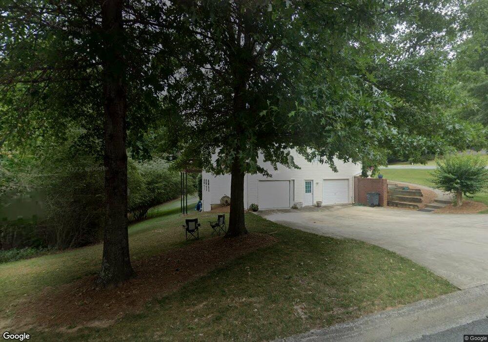
1012 Fieldstone Dr Canton, GA 30114
Estimated Value: $388,010 - $418,000
3
Beds
2
Baths
1,759
Sq Ft
$229/Sq Ft
Est. Value
About This Home
This home is located at 1012 Fieldstone Dr, Canton, GA 30114 and is currently estimated at $403,005, approximately $229 per square foot. 1012 Fieldstone Dr is a home located in Cherokee County with nearby schools including J. Knox Elementary School, Teasley Middle School, and Cherokee High School.
Ownership History
Date
Name
Owned For
Owner Type
Purchase Details
Closed on
Oct 25, 2007
Sold by
Colbert Joseph and Colbert Arline B
Bought by
Retriever Properties Llc
Current Estimated Value
Home Financials for this Owner
Home Financials are based on the most recent Mortgage that was taken out on this home.
Original Mortgage
$200,000
Interest Rate
6.21%
Create a Home Valuation Report for This Property
The Home Valuation Report is an in-depth analysis detailing your home's value as well as a comparison with similar homes in the area
Home Values in the Area
Average Home Value in this Area
Purchase History
| Date | Buyer | Sale Price | Title Company |
|---|---|---|---|
| Retriever Properties Llc | $200,000 | -- |
Source: Public Records
Mortgage History
| Date | Status | Borrower | Loan Amount |
|---|---|---|---|
| Previous Owner | Retriever Properties Llc | $200,000 |
Source: Public Records
Tax History
| Year | Tax Paid | Tax Assessment Tax Assessment Total Assessment is a certain percentage of the fair market value that is determined by local assessors to be the total taxable value of land and additions on the property. | Land | Improvement |
|---|---|---|---|---|
| 2025 | $3,604 | $137,244 | $34,000 | $103,244 |
| 2024 | $3,510 | $135,080 | $34,000 | $101,080 |
| 2023 | $3,585 | $137,960 | $34,000 | $103,960 |
| 2022 | $2,789 | $106,120 | $26,000 | $80,120 |
| 2021 | $2,537 | $89,356 | $22,400 | $66,956 |
| 2020 | $2,294 | $80,716 | $20,000 | $60,716 |
| 2019 | $2,261 | $79,560 | $20,000 | $59,560 |
| 2018 | $2,100 | $73,440 | $14,800 | $58,640 |
| 2017 | $1,845 | $160,100 | $14,800 | $49,240 |
| 2016 | $1,855 | $159,300 | $14,800 | $48,920 |
| 2015 | $1,862 | $158,300 | $14,800 | $48,520 |
| 2014 | $1,699 | $144,200 | $14,800 | $42,880 |
Source: Public Records
Map
Nearby Homes
- 308 Saddle Wood Dr
- 100 Legend Creek Dr
- 7840 Knox Bridge Hwy
- 428 Lancaster Dr
- 320 River Green Ave
- 616 Parkview Dr
- 150 Jaime Dr
- 534 Oriole Farm Trail
- 208 Westbury Ct
- 117 Market Ln
- 526 Oriole Farm Trail Unit 4L
- 128 Jaime Dr
- 524 Oriole Farm Trail
- 304 Grant Ct
- 234 Oakview Dr
- 302 Grant Ct
- 309 Jessica Way
- 1209 Lakeside Overlook
- 405 Trumpet Cir
- 218 Providence Ln
- 0 Bridle Ln Unit 5937492
- 0 Bridle Ridge Unit 5935014
- 0 Bridle Ln Unit 8289615
- 200 Bridle Ct
- 205 Bridle Ct
- 206 Bridle Ct
- 214 Bridle Ct
- 1014 Fieldstone Dr
- 100 Bridle Ct
- 104 Bridle Ct Unit 1
- 204 Stonegate Ct
- 1008 Fieldstone Dr
- 1021 Fieldstone Dr
- 1025 Fieldstone Dr Unit 1
- 1017 Fieldstone Dr Unit 1
- 208 Stonegate Ct
- 1029 Fieldstone Dr Unit 1
- 507 Fable Ln
- 505 Fable Ln
- 505 Fable Ln Unit 15
Your Personal Tour Guide
Ask me questions while you tour the home.