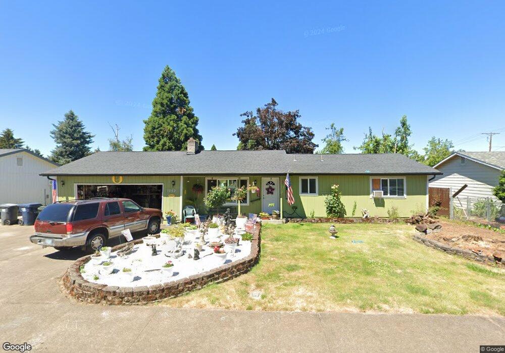
1012 Laurel Ave Springfield, OR 97478
East Springfield NeighborhoodEstimated Value: $345,000 - $406,000
3
Beds
1
Bath
1,056
Sq Ft
$352/Sq Ft
Est. Value
About This Home
This home is located at 1012 Laurel Ave, Springfield, OR 97478 and is currently estimated at $372,004, approximately $352 per square foot. 1012 Laurel Ave is a home located in Lane County with nearby schools including Douglas Gardens Elementary School, Agnes Stewart Middle School, and Springfield High School.
Ownership History
Date
Name
Owned For
Owner Type
Purchase Details
Closed on
Nov 21, 2005
Sold by
Mcfarland Richard A
Bought by
Mcfarland Richard A and Mcfarland Edith A
Current Estimated Value
Home Financials for this Owner
Home Financials are based on the most recent Mortgage that was taken out on this home.
Original Mortgage
$132,000
Outstanding Balance
$71,585
Interest Rate
5.97%
Mortgage Type
New Conventional
Estimated Equity
$300,419
Create a Home Valuation Report for This Property
The Home Valuation Report is an in-depth analysis detailing your home's value as well as a comparison with similar homes in the area
Home Values in the Area
Average Home Value in this Area
Purchase History
| Date | Buyer | Sale Price | Title Company |
|---|---|---|---|
| Mcfarland Richard A | -- | Western Pioneer Title Co |
Source: Public Records
Mortgage History
| Date | Status | Borrower | Loan Amount |
|---|---|---|---|
| Open | Mcfarland Richard A | $132,000 |
Source: Public Records
Tax History
| Year | Tax Paid | Tax Assessment Tax Assessment Total Assessment is a certain percentage of the fair market value that is determined by local assessors to be the total taxable value of land and additions on the property. | Land | Improvement |
|---|---|---|---|---|
| 2025 | $2,445 | $175,372 | -- | -- |
| 2024 | $2,379 | $170,265 | -- | -- |
| 2023 | $2,379 | $165,306 | $0 | $0 |
| 2022 | $2,262 | $160,492 | $0 | $0 |
| 2021 | $2,214 | $155,818 | $0 | $0 |
| 2020 | $2,150 | $151,280 | $0 | $0 |
| 2019 | $2,074 | $146,874 | $0 | $0 |
| 2018 | $2,008 | $138,444 | $0 | $0 |
| 2017 | $1,942 | $138,444 | $0 | $0 |
| 2016 | $1,892 | $134,412 | $0 | $0 |
| 2015 | $1,839 | $130,497 | $0 | $0 |
| 2014 | $1,787 | $126,696 | $0 | $0 |
Source: Public Records
Map
Nearby Homes
- 919 S 37th Place
- 3266 Mountain Creek Ln
- 3291 Osage St
- 1076 S 40th Place
- 4005 S F St
- 4155 Stellar Way
- 1264 S 41st Place
- 3720 Virginia Ave
- 455 S 38th St
- 370 S 38th St
- 4131 Forsythia St
- 3503 Oregon Ave
- 345 S 38th St
- 875 S 43rd St
- 4358 Kalmia St
- 154 37th St
- 955 S 44th St
- 186 40th St
- 207 35th St
- 4452 Jessica Dr
- 1024 Laurel Ave
- 1004 Laurel Ave
- 1011 Dondea St
- 1005 Dondea St
- 1027 Dondea St
- 1036 Laurel Ave
- 1035 Laurel Ave
- 3715 Jasper Rd
- 1033 Dondea St
- 3727 Jasper Rd
- 1048 Laurel Ave
- 1059 Laurel Ave
- 1045 Dondea St
- 1010 Dondea St
- 997 S 37th St
- 1088 Dondea St
- 1071 Laurel Ave
- 3751 Jasper Rd
- 1060 Laurel Ave
- 3725 Jasper Rd
Your Personal Tour Guide
Ask me questions while you tour the home.