101241 S 3380 Rd Meeker, OK 74855
Estimated Value: $117,410 - $299,000
3
Beds
1
Bath
966
Sq Ft
$199/Sq Ft
Est. Value
About This Home
This home is located at 101241 S 3380 Rd, Meeker, OK 74855 and is currently estimated at $192,470, approximately $199 per square foot. 101241 S 3380 Rd is a home.
Ownership History
Date
Name
Owned For
Owner Type
Purchase Details
Closed on
Mar 1, 2017
Sold by
Holmes Sean C and Mcclanahan Janet A
Bought by
Holmes Corey E and Holmes Danna R
Current Estimated Value
Purchase Details
Closed on
Jul 15, 2002
Sold by
Mclanahan Janet A D
Bought by
Holmes Sean C and Holmes Mclanahan
Purchase Details
Closed on
Jan 22, 1998
Sold by
Branch Wendell G and Branch Judy K
Bought by
Dunham Philip R and Dunham Janet A
Purchase Details
Closed on
Oct 26, 1995
Sold by
Partain Gaylene R
Bought by
Branch Wendell G and Branch Judy K
Purchase Details
Closed on
Oct 11, 1995
Sold by
Partain Sr Billy Je and Partain Myrna
Bought by
Partain Gaylene R
Create a Home Valuation Report for This Property
The Home Valuation Report is an in-depth analysis detailing your home's value as well as a comparison with similar homes in the area
Purchase History
| Date | Buyer | Sale Price | Title Company |
|---|---|---|---|
| Holmes Corey E | -- | None Available | |
| Holmes Sean C | -- | -- | |
| Dunham Janet A | -- | -- | |
| Dunham Philip R | $21,000 | -- | |
| Branch Wendell G | $12,000 | -- | |
| Partain Gaylene R | -- | -- |
Source: Public Records
Tax History
| Year | Tax Paid | Tax Assessment Tax Assessment Total Assessment is a certain percentage of the fair market value that is determined by local assessors to be the total taxable value of land and additions on the property. | Land | Improvement |
|---|---|---|---|---|
| 2025 | $427 | $4,460 | $3,275 | $1,185 |
| 2024 | $348 | $4,248 | $3,002 | $1,246 |
| 2023 | $348 | $8,575 | $6,405 | $2,170 |
| 2022 | $316 | $3,853 | $2,878 | $975 |
| 2021 | $301 | $3,670 | $2,615 | $1,055 |
| 2020 | $287 | $3,495 | $2,520 | $975 |
| 2019 | $273 | $3,328 | $2,394 | $934 |
| 2018 | $260 | $3,171 | $2,393 | $778 |
| 2017 | $311 | $3,019 | $2,289 | $730 |
| 2016 | $290 | $2,875 | $2,046 | $829 |
| 2015 | $220 | $2,739 | $1,921 | $818 |
| 2014 | $214 | $2,608 | $1,833 | $775 |
Source: Public Records
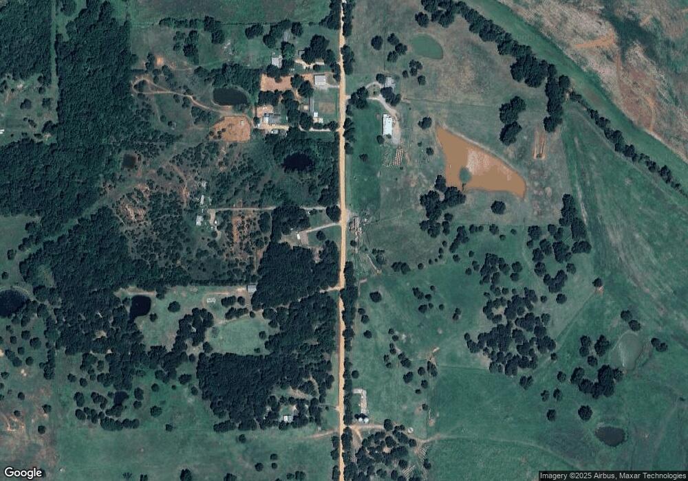
Map
Nearby Homes
- 101313 S 3380 Rd
- 101111 S 3380 Rd
- 101142 S 3380 Rd
- 0 E 1010 Rd
- 101171 S 3380 Rd
- 101224 S 3376 Rd
- 101152 S 3376 Rd
- 101352 S 3376 Rd
- 101183 S 3376 Rd
- 337473 E 1010 Rd
- 337215 E 1010 Rd
- 101790 S 3380 Rd
- 100725 S 3380 Rd
- 338500 E 1020 Rd
- 337137 E 1010 Rd
- 337772 E 1020 Rd
- 338502 E 1020 Rd
- 337252 E 1020 Rd
- 0 00000412n03e200700 Unit 1008784
Your Personal Tour Guide
Ask me questions while you tour the home.