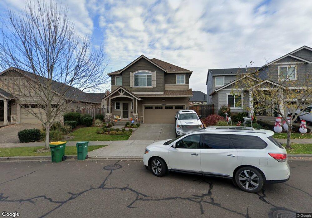
1013 Goff Rd Forest Grove, OR 97116
Estimated Value: $595,519 - $643,000
5
Beds
3
Baths
2,506
Sq Ft
$248/Sq Ft
Est. Value
About This Home
This home is located at 1013 Goff Rd, Forest Grove, OR 97116 and is currently estimated at $620,880, approximately $247 per square foot. 1013 Goff Rd is a home located in Washington County with nearby schools including Dilley Elementary School, Tom McCall Upper Elementary School, and Neil Armstrong Middle School.
Ownership History
Date
Name
Owned For
Owner Type
Purchase Details
Closed on
Mar 6, 2024
Sold by
Vuylsteke Brandon A
Bought by
Vuylsteke Brandon A and Vuylsteke Ashley M
Current Estimated Value
Purchase Details
Closed on
Jul 25, 2014
Sold by
D R Horton Inc Portland
Bought by
Vuylsteke Brandon A
Home Financials for this Owner
Home Financials are based on the most recent Mortgage that was taken out on this home.
Original Mortgage
$283,495
Interest Rate
4.11%
Mortgage Type
New Conventional
Create a Home Valuation Report for This Property
The Home Valuation Report is an in-depth analysis detailing your home's value as well as a comparison with similar homes in the area
Purchase History
| Date | Buyer | Sale Price | Title Company |
|---|---|---|---|
| Vuylsteke Brandon A | -- | None Listed On Document | |
| Vuylsteke Brandon A | $314,995 | First American |
Source: Public Records
Mortgage History
| Date | Status | Borrower | Loan Amount |
|---|---|---|---|
| Previous Owner | Vuylsteke Brandon A | $283,495 |
Source: Public Records
Tax History
| Year | Tax Paid | Tax Assessment Tax Assessment Total Assessment is a certain percentage of the fair market value that is determined by local assessors to be the total taxable value of land and additions on the property. | Land | Improvement |
|---|---|---|---|---|
| 2026 | $6,463 | $362,950 | -- | -- |
| 2025 | $6,463 | $352,380 | -- | -- |
| 2024 | $6,235 | $342,120 | -- | -- |
| 2023 | $6,235 | $332,160 | $0 | $0 |
| 2022 | $5,452 | $332,160 | $0 | $0 |
| 2021 | $5,381 | $313,100 | $0 | $0 |
| 2020 | $5,352 | $303,990 | $0 | $0 |
| 2019 | $5,233 | $295,140 | $0 | $0 |
| 2018 | $5,073 | $286,550 | $0 | $0 |
| 2017 | $4,916 | $278,210 | $0 | $0 |
| 2016 | $4,777 | $270,110 | $0 | $0 |
| 2015 | $4,594 | $262,250 | $0 | $0 |
| 2014 | $1,401 | $79,600 | $0 | $0 |
Source: Public Records
Map
Nearby Homes
- 2460 Heather Way
- 1109 Stonewall Ave
- 2545 Windstream St
- 2622 Strasburg Dr
- 1402 Begonia Ave
- 1407 Willamina Ave
- 916 Rosebud Ct
- 918 Rosebud Ct
- 920 Rosebud Ct
- 922 Rosebud Ct
- 904 Rosebud Ct
- 1611 Camino Dr
- 630 Sky Ln
- 911 Rosebud Ct
- 1820 NW Thatcher Rd
- 1224 Alyssum Ave
- 3305 Butte Dr
- 811 Misty Ln
- 801 Misty Ln
- 865 Glade Ave
- 1007 Goff Rd
- 1019 Goff Rd
- 1001 Goff Rd
- 1025 Goff Rd
- 1034 Stonewall Ave
- 1022 Stonewall Ave
- 1040 Stonewall Ave
- 1016 Stonewall Ave
- 985 Goff Rd
- 993 Goff Rd
- 1031 Goff Rd
- 1046 Stonewall Ave
- 1010 Stonewall Ave
- 2534 Sweetwood Ct
- 1004 Stonewall Ave
- 1052 Stonewall Ave
- 1037 Goff Rd
- 2537 Heather Way
- 1061 Parkside Ave
Your Personal Tour Guide
Ask me questions while you tour the home.