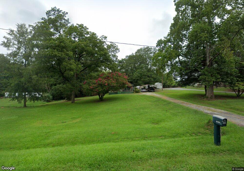
1013 N Broad St Clinton, SC 29325
Estimated Value: $79,000 - $192,000
About This Home
This home is located at 1013 N Broad St, Clinton, SC 29325 and is currently estimated at $146,767. 1013 N Broad St is a home with nearby schools including Clinton High School, Thornwell Charter School, and Summit Classical School.
Ownership History
We collect this data history from publicly available records. To have your information removed, we recommend requesting removal directly through your county’s website.
Purchase Details
Home Financials for this Owner
Home Financials are based on the most recent Mortgage that was taken out on this home.Home Values in the Area
Average Home Value in this Area
Purchase History
We collect this data history from publicly available records. To have your information removed, we recommend requesting removal directly through your county’s website.
| Date | Buyer | Sale Price | Title Company |
|---|---|---|---|
| -- | None Listed On Document |
Mortgage History
We collect this data history from publicly available records. To have your information removed, we recommend requesting removal directly through your county’s website.
| Date | Status | Borrower | Loan Amount |
|---|---|---|---|
| Open | $215,631 |
Tax History
We collect this data history from publicly available records. To have your information removed, we recommend requesting removal directly through your county’s website.
| Year | Tax Paid | Tax Assessment Tax Assessment Total Assessment is a certain percentage of the fair market value that is determined by local assessors to be the total taxable value of land and additions on the property. | Land | Improvement |
|---|---|---|---|---|
| 2025 | $134 | $2,380 | $420 | $1,960 |
| 2024 | $134 | $2,380 | $420 | $1,960 |
| 2023 | $131 | $2,378 | $418 | $1,960 |
| 2022 | $136 | $2,420 | $500 | $1,920 |
| 2021 | $84 | $2,110 | $490 | $1,620 |
| 2020 | $83 | $2,110 | $490 | $1,620 |
| 2019 | $87 | $2,110 | $490 | $1,620 |
| 2018 | $84 | $2,110 | $490 | $1,620 |
| 2017 | $78 | $2,110 | $490 | $1,620 |
| 2015 | $374 | $2,020 | $420 | $1,600 |
| 2014 | $374 | $2,020 | $420 | $1,600 |
| 2013 | $374 | $2,020 | $420 | $1,600 |
Map
- 101 W Bluford St
- 00 Elizabeth St
- 410 N Broad St
- 200 Jefferson St
- 601 Musgrove St
- 11280 Highway 56 N
- 133 Tango Dr
- 117 Tango Dr Unit SDT 9 Magnolia A1
- 112 Tango Dr Unit SDT 129 Magnolia A1
- 117 Tango Dr
- 120 Tango Dr
- 113 Tango Dr Unit SDT 7 Chestnut A
- 139 Tango Dr
- 127 Tango Dr
- 112 Tango Dr
- 113 Tango Dr
- 133 Tango Dr Unit SDT 17 Chestnut A
- 131 Tango Dr
- 139 Tango Dr Unit SDT 20 Magnolia BER
- 127 Tango Dr Unit SDT 14 Magnolia A1
- 25 Elvis Pressley Blvd
- 1189 Highway 308
- 107 Elvis Pressley Blvd
- 1211 Elizabeth St
- 1017 N Broad St
- 109 Elvis Pressley Blvd
- 1209 Elizabeth St
- 1341 Highway 308
- 1207 Elizabeth St
- 1346 N Broad St
- 1359 Highway 308
- 208 Helen St
- 220 Helen St
- 88 Snelgrove Rd
- 10 Snelgrove Rd
- 1203 Elizabeth St
- 209 Helen St
- 233 Elvis Pressley Blvd
- 213 Helen St
- 207 Helen St
Ask me questions while you tour the home.