1013 Shepherd Dr Hayesville, FL 28904
Estimated Value: $393,000 - $540,000
About This Home
This home is located at 1013 Shepherd Dr, Hayesville, FL 28904 and is currently estimated at $461,246, approximately $282 per square foot. 1013 Shepherd Dr is a home located in Clay County with nearby schools including Hayesville Elementary School, Hayesville Middle School, and Hayesville High School.
Ownership History
We collect this data history from publicly available records. To have your information removed, we recommend requesting removal directly through your county’s website.
Purchase Details
Purchase Details
Home Financials for this Owner
Home Financials are based on the most recent Mortgage that was taken out on this home.Purchase Details
Home Financials for this Owner
Home Financials are based on the most recent Mortgage that was taken out on this home.Purchase Details
Home Financials for this Owner
Home Financials are based on the most recent Mortgage that was taken out on this home.Home Values in the Area
Average Home Value in this Area
Purchase History
We collect this data history from publicly available records. To have your information removed, we recommend requesting removal directly through your county’s website.
| Date | Buyer | Sale Price | Title Company |
|---|---|---|---|
| $415,000 | None Listed On Document | ||
| $373,000 | -- | ||
| $373,000 | None Listed On Document | ||
| $249,000 | None Available | ||
| $205,000 | None Available |
Mortgage History
We collect this data history from publicly available records. To have your information removed, we recommend requesting removal directly through your county’s website.
| Date | Status | Borrower | Loan Amount |
|---|---|---|---|
| Previous Owner | $358,653 | ||
| Previous Owner | $80,000 | ||
| Previous Owner | $135,000 |
Tax History
We collect this data history from publicly available records. To have your information removed, we recommend requesting removal directly through your county’s website.
| Year | Tax Paid | Tax Assessment Tax Assessment Total Assessment is a certain percentage of the fair market value that is determined by local assessors to be the total taxable value of land and additions on the property. | Land | Improvement |
|---|---|---|---|---|
| 2025 | $860 | $161,700 | $25,200 | $136,500 |
| 2024 | $860 | $161,700 | $25,200 | $136,500 |
| 2023 | $760 | $161,700 | $25,200 | $136,500 |
| 2022 | $760 | $161,700 | $25,200 | $136,500 |
| 2021 | $760 | $161,700 | $25,200 | $136,500 |
| 2020 | $760 | $161,700 | $25,200 | $136,500 |
| 2019 | $760 | $161,700 | $25,200 | $136,500 |
| 2018 | $760 | $161,700 | $25,200 | $136,500 |
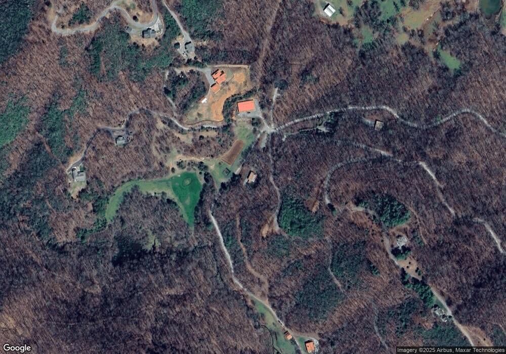
Map
- LT 73 Shiloh Ridge
- Lot 139 Shiloh Ridge
- Lot 137 Shiloh Ridge
- Lot 32 Shiloh Trail
- Lot 60 Shiloh Trail
- #61 Shiloh
- 1306 Hot House Rd
- 125 Jess Hooper Dr
- 472 Hogsed Dr
- LOT 123 Shiloh Dr
- LOT 125 Shiloh Dr
- 1017 Laurel Branch Rd
- 3333 Ellington Rd
- 119 Laurel Branch Dr
- 100 Tranquility Ln
- 2912 Gribble Edwards Rd
- 0 Taylor Knob Unit 430277
- 3086 Old Highway 64 E
- 3318 Old Highway 64 E
- 122 Penland Indian Trail
- 1013 Shepherd Dr
- 1006 Shepherd Dr
- 1014 Shepherd Dr
- #117 Shiloh
- 110 Dawson Way
- 187 Dawson Way
- 4M Ridges Overlook
- 4M Ridges Overlook Unit Lot 4M
- 615 Shiloh Ridge
- 679 Shiloh Ridge
- 27 Shiloh Trail
- 265 Dawson Way
- 581 Shiloh Ridge
- 241 Shiloh Ridge
- 917 Shepherd Dr
- 943 Shiloh Ridge
- 61 Shiloh Trail
- 889 Shiloh Ridge
- 229 Shiloh Trail
- 229 Shiloh Overlook
Ask me questions while you tour the home.