10130 Quivas St Thornton, CO 80260
Estimated Value: $319,000 - $367,000
About This Home
This home is located at 10130 Quivas St, Thornton, CO 80260 and is currently estimated at $343,845, approximately $262 per square foot. 10130 Quivas St is a home located in Adams County with nearby schools including Hillcrest Elementary School, Silver Hills Middle School, and Northglenn High School.
Ownership History
We collect this data history from publicly available records. To have your information removed, we recommend requesting removal directly through your county’s website.
Purchase Details
Home Financials for this Owner
Home Financials are based on the most recent Mortgage that was taken out on this home.Purchase Details
Purchase Details
Purchase Details
Purchase History
We collect this data history from publicly available records. To have your information removed, we recommend requesting removal directly through your county’s website.
| Date | Buyer | Sale Price | Title Company |
|---|---|---|---|
| $157,000 | Security Title | ||
| $63,500 | -- | ||
| -- | -- | ||
| -- | -- |
Mortgage History
We collect this data history from publicly available records. To have your information removed, we recommend requesting removal directly through your county’s website.
| Date | Status | Borrower | Loan Amount |
|---|---|---|---|
| Open | $125,600 |
Tax History
We collect this data history from publicly available records. To have your information removed, we recommend requesting removal directly through your county’s website.
| Year | Tax Paid | Tax Assessment Tax Assessment Total Assessment is a certain percentage of the fair market value that is determined by local assessors to be the total taxable value of land and additions on the property. | Land | Improvement |
|---|---|---|---|---|
| 2025 | $2,454 | $25,560 | $4,960 | $20,600 |
| 2024 | $2,454 | $23,500 | $4,560 | $18,940 |
| 2023 | $2,430 | $26,320 | $3,520 | $22,800 |
| 2022 | $2,170 | $18,820 | $3,610 | $15,210 |
| 2021 | $2,241 | $18,820 | $3,610 | $15,210 |
| 2020 | $2,160 | $18,510 | $3,720 | $14,790 |
| 2019 | $2,164 | $18,510 | $3,720 | $14,790 |
| 2018 | $1,787 | $14,830 | $1,440 | $13,390 |
| 2017 | $1,627 | $14,830 | $1,440 | $13,390 |
| 2016 | $1,433 | $12,700 | $1,590 | $11,110 |
| 2015 | $1,431 | $12,700 | $1,590 | $11,110 |
| 2014 | $1,073 | $9,250 | $1,590 | $7,660 |
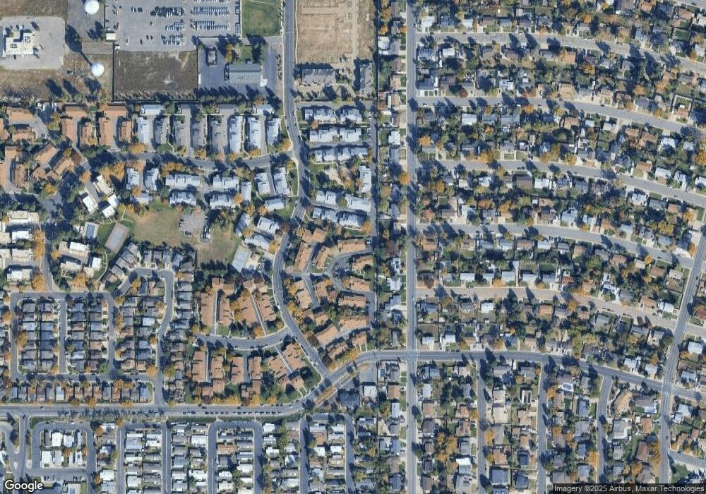
Map
- 10176 Quivas St
- 10192 Quivas St
- 10008 Quivas St
- 10220 Quivas St
- 1724 W 102nd Ave
- 1910 W 102nd Ave
- 9972 Appletree Place
- 2100 W 100th Ave Unit 369
- 2100 W 100th Ave Unit 296
- 2100 W 100th Ave Unit 104
- 2100 W 100th Ave Unit 257
- 2100 W 100th Ave Unit 497
- 2100 W 100th Ave Unit 258
- 2100 W 100th Ave Unit 59
- 2036 W 101st Ave
- 9963 Lane St
- 9884 Appletree Place
- 1231 W 102nd Place
- 1211 W 102nd Place
- 9960 Croke Dr
- 10132 Quivas St
- 10128 Quivas St
- 10134 Quivas St
- 10134 Quivas St Unit 37D
- 10124 Quivas St
- 10170 Quivas St
- 10126 Quivas St
- 10172 Quivas St
- 10168 Quivas St
- 10166 Quivas St
- 10136 Quivas St
- 10138 Quivas St
- 10156 Quivas St
- 10164 Quivas St
- 10140 Quivas St
- 10120 Quivas St
- 10142 Quivas St
- 10162 Quivas St
- 10053 Pecos St
- 10118 Quivas St
Ask me questions while you tour the home.