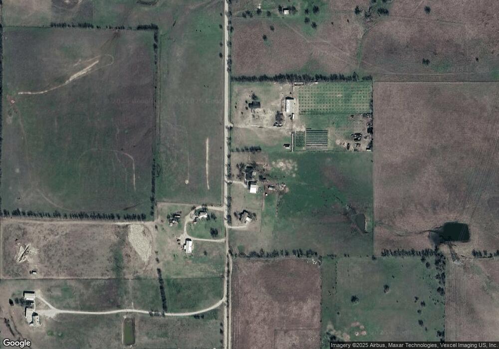
10133 Dyer Rd Sanger, TX 76266
Estimated Value: $432,000 - $961,000
About This Home
This home is located at 10133 Dyer Rd, Sanger, TX 76266 and is currently estimated at $646,949, approximately $299 per square foot. 10133 Dyer Rd is a home located in Denton County with nearby schools including Chisholm Trail Elementary School, Clear Creek Intermediate School, and Sanger Sixth Grade Campus.
Ownership History
We collect this data history from publicly available records. To have your information removed, we recommend requesting removal directly through your county’s website.
Purchase Details
Home Financials for this Owner
Home Financials are based on the most recent Mortgage that was taken out on this home.Home Values in the Area
Average Home Value in this Area
Purchase History
We collect this data history from publicly available records. To have your information removed, we recommend requesting removal directly through your county’s website.
| Date | Buyer | Sale Price | Title Company |
|---|---|---|---|
| -- | None Available |
Mortgage History
We collect this data history from publicly available records. To have your information removed, we recommend requesting removal directly through your county’s website.
| Date | Status | Borrower | Loan Amount |
|---|---|---|---|
| Open | $158,904 |
Tax History
We collect this data history from publicly available records. To have your information removed, we recommend requesting removal directly through your county’s website.
| Year | Tax Paid | Tax Assessment Tax Assessment Total Assessment is a certain percentage of the fair market value that is determined by local assessors to be the total taxable value of land and additions on the property. | Land | Improvement |
|---|---|---|---|---|
| 2025 | $2,500 | $151,692 | $66,286 | $85,406 |
| 2024 | $2,500 | $184,175 | $0 | $0 |
| 2023 | $2,757 | $202,026 | $66,728 | $135,298 |
| 2022 | $2,390 | $144,099 | $43,103 | $100,996 |
| 2021 | $1,740 | $119,264 | $21,893 | $97,371 |
| 2020 | $1,540 | $98,029 | $16,174 | $81,855 |
| 2019 | $1,663 | $101,608 | $16,304 | $85,304 |
| 2018 | $1,624 | $98,510 | $16,369 | $82,141 |
| 2017 | $3,298 | $198,630 | $119,440 | $79,190 |
| 2016 | $1,552 | $93,443 | $5,301 | $88,142 |
| 2015 | $1,124 | $90,291 | $5,373 | $84,918 |
| 2013 | -- | $78,141 | $5,085 | $73,056 |
Map
- 10455 Fm 455 W
- 10400 Freeman Rd
- 10350 W Clear Creek Rd
- 10902 Clear Creek Rd W
- 11170 Clear Creek Rd W
- 9517 Indian Trail
- 9494 Waide Rd
- 7595 Fm 156
- 11007 Farm To Market Road 2450
- 00 9494 Waide Rd
- 7140 Davidson Rd
- 8875 Fm 2450
- 6568 Michael Rd
- 6338 N Bob White Way
- 7221 Christina Ct
- 7230 Hunnington Dr
- 10009 Kildee Trail
- 7239 Christina Ct
- 7220 Christina Ct
- 8190 Kassandra Dr
- 10164 Dyer Rd
- TBD Dyer Rd
- 10493 Dyer Rd
- 10001 Fm W 455 Rd
- 10340 Dyer Rd
- 10689 Dyer Rd
- 10200 Fm 455 W
- 10400 Dyer Rd
- 10300 Fm 455 W
- 10300 Farm To Market 455 W
- 10314 Fm 455 W
- 10455 Fm 455 W Unit LAND
- 9377 Fm 455 W
- 10543 Fm 455 W
- 10571 Fm 455 W
- 10035 Forester Rd
- 10713 Fm 455 W
- 10130 Forester Rd
- 0000 W Clear Creek Rd
- 9037 Fm 455 W
Ask me questions while you tour the home.