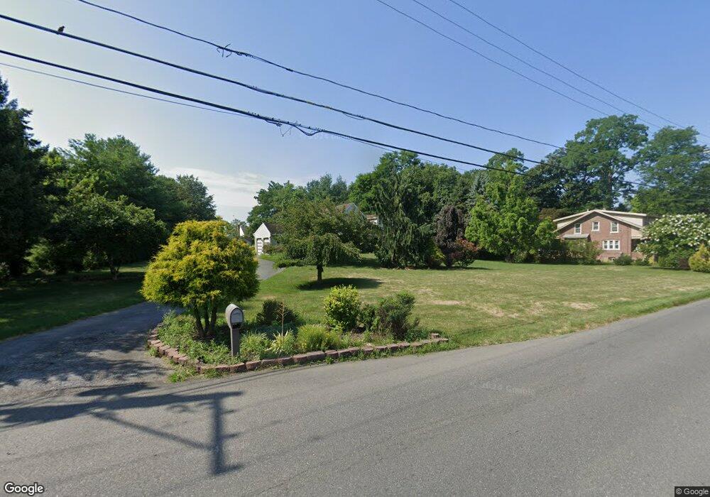
1014 E MacAda Rd Bethlehem, PA 18017
Northeast Bethlehem NeighborhoodEstimated Value: $606,000 - $663,000
4
Beds
3
Baths
2,734
Sq Ft
$233/Sq Ft
Est. Value
About This Home
This home is located at 1014 E MacAda Rd, Bethlehem, PA 18017 and is currently estimated at $636,552, approximately $232 per square foot. 1014 E MacAda Rd is a home located in Northampton County with nearby schools including Spring Garden Elementary School, Northeast Middle School, and Liberty High School.
Ownership History
Date
Name
Owned For
Owner Type
Purchase Details
Closed on
Nov 28, 2005
Sold by
Hough Joseph M
Bought by
Ahor Kingsley
Current Estimated Value
Home Financials for this Owner
Home Financials are based on the most recent Mortgage that was taken out on this home.
Original Mortgage
$273,600
Outstanding Balance
$146,312
Interest Rate
6.14%
Mortgage Type
New Conventional
Estimated Equity
$490,240
Purchase Details
Closed on
May 2, 2000
Bought by
Hough Joseph M and Hough Marie J
Create a Home Valuation Report for This Property
The Home Valuation Report is an in-depth analysis detailing your home's value as well as a comparison with similar homes in the area
Home Values in the Area
Average Home Value in this Area
Purchase History
| Date | Buyer | Sale Price | Title Company |
|---|---|---|---|
| Ahor Kingsley | $342,000 | -- | |
| Hough Joseph M | $50,000 | -- |
Source: Public Records
Mortgage History
| Date | Status | Borrower | Loan Amount |
|---|---|---|---|
| Open | Ahor Kingsley | $273,600 |
Source: Public Records
Tax History
| Year | Tax Paid | Tax Assessment Tax Assessment Total Assessment is a certain percentage of the fair market value that is determined by local assessors to be the total taxable value of land and additions on the property. | Land | Improvement |
|---|---|---|---|---|
| 2026 | $1,244 | $115,200 | $33,700 | $81,500 |
| 2025 | $1,244 | $115,200 | $33,700 | $81,500 |
| 2024 | $10,183 | $115,200 | $33,700 | $81,500 |
| 2023 | $10,183 | $115,200 | $33,700 | $81,500 |
| 2022 | $10,103 | $115,200 | $33,700 | $81,500 |
| 2021 | $10,035 | $115,200 | $33,700 | $81,500 |
| 2020 | $9,939 | $115,200 | $33,700 | $81,500 |
| 2019 | $9,906 | $115,200 | $33,700 | $81,500 |
| 2018 | $9,665 | $115,200 | $33,700 | $81,500 |
| 2017 | $9,550 | $115,200 | $33,700 | $81,500 |
| 2016 | -- | $115,200 | $33,700 | $81,500 |
| 2015 | -- | $114,300 | $33,700 | $80,600 |
| 2014 | -- | $114,300 | $33,700 | $80,600 |
Source: Public Records
Map
Nearby Homes
- 1201 Butztown Rd Unit 4
- 2919 West Blvd
- 1137 Lynnhurst Place
- 1648 Angela Dr
- 3277 Marchant Dr
- 1510 Covington Place
- 436 E MacAda Rd
- 1740 Butztown Rd
- 1728 Butztown Rd Unit C1
- 1031 Decatur St
- 1715 Lansdale Ave
- 3080 Shakespeare Rd
- 2236 Lincoln St
- 1740 Lansdale Ave
- 3120 Hilly Rd
- 2145 Henderson St
- 2152 East Blvd
- 2109 Kemmerer St
- 512 Forrest Ave
- 2950 Santee Dr
- 962 E MacAda Rd
- 2955 Linden St
- 952 E MacAda Rd
- 959 E MacAda Rd
- 947 Barnsdale Rd
- 953 E MacAda Rd
- 957 Barnsdale Rd
- 937 Barnsdale Rd
- 942 E MacAda Rd
- 934 E MacAda Rd
- 951 E MacAda Rd
- 967 Barnsdale Rd
- 927 Barnsdale Rd
- 928 E MacAda Rd
- 939 E MacAda Rd
- 917 Barnsdale Rd
- 2901 Linden St
- 3061 Powder Mill Cir
- 970 Wafford Ln
- 907 Barnsdale Rd
Your Personal Tour Guide
Ask me questions while you tour the home.