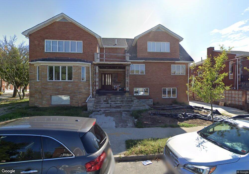
1014 Hampton Ave Brooklyn, NY 11235
Manhattan Beach NeighborhoodEstimated Value: $3,642,000 - $4,956,175
Studio
--
Bath
7,158
Sq Ft
$601/Sq Ft
Est. Value
About This Home
This home is located at 1014 Hampton Ave, Brooklyn, NY 11235 and is currently estimated at $4,299,088, approximately $600 per square foot. 1014 Hampton Ave is a home located in Kings County with nearby schools including P.S. 195 Manhattan Beach, P.S. K225 - The Eileen E. Zaglin School, and Abraham Lincoln High School.
Ownership History
Date
Name
Owned For
Owner Type
Purchase Details
Closed on
Jun 23, 2015
Sold by
Kleynerman Lana
Bought by
Beach Living Llc
Current Estimated Value
Purchase Details
Closed on
Jan 13, 2004
Sold by
Kleynerman Josif and Kleynerman Lana
Bought by
Kleynerman Lana
Create a Home Valuation Report for This Property
The Home Valuation Report is an in-depth analysis detailing your home's value as well as a comparison with similar homes in the area
Home Values in the Area
Average Home Value in this Area
Purchase History
| Date | Buyer | Sale Price | Title Company |
|---|---|---|---|
| Beach Living Llc | $2,000,000 | -- | |
| Beach Living Llc | $2,000,000 | -- | |
| Beach Living Llc | $2,000,000 | -- | |
| Kleynerman Lana | -- | -- | |
| Kleynerman Lana | -- | -- |
Source: Public Records
Tax History
| Year | Tax Paid | Tax Assessment Tax Assessment Total Assessment is a certain percentage of the fair market value that is determined by local assessors to be the total taxable value of land and additions on the property. | Land | Improvement |
|---|---|---|---|---|
| 2025 | $34,529 | $405,240 | $52,980 | $352,260 |
| 2024 | $34,529 | $320,100 | $52,980 | $267,120 |
| 2023 | $32,938 | $314,040 | $52,980 | $261,060 |
| 2022 | $35,939 | $344,100 | $52,980 | $291,120 |
| 2021 | $39,239 | $265,680 | $52,980 | $212,700 |
| 2020 | $15,407 | $261,240 | $52,980 | $208,260 |
| 2019 | $29,024 | $207,720 | $52,980 | $154,740 |
| 2018 | $26,782 | $131,382 | $48,519 | $82,863 |
| 2017 | $26,782 | $131,382 | $47,879 | $83,503 |
| 2016 | $26,067 | $130,395 | $40,385 | $90,010 |
| 2015 | $14,949 | $123,015 | $53,374 | $69,641 |
| 2014 | $14,949 | $116,053 | $50,353 | $65,700 |
Source: Public Records
Map
Nearby Homes
- 176 Irwin St
- 135 Jaffray St Unit 4
- 135 Jaffray St
- 105 Kensington St
- 4147 Ocean Ave
- 4094 Ocean Ave
- 1519 Oriental Blvd
- 4812 Bedford Ave Unit 1A
- 4817 Bedford Ave Unit 3A
- 2817 E 26th St Unit 3B
- 2811 E 26th St
- 2805 E 26th St Unit 2B
- 166 Pembroke St
- 267 Dover St
- 2812 E 27th St Unit 204
- 17 Coleridge St
- 149 Pembroke St
- 228 Coleridge St
- 12 Webers Ct
- 2801 E 28th St Unit 2A
- 118 Irwin St
- 1010 Hampton Ave
- 115 Hastings St
- 1004 Hampton Ave
- 124 Irwin St
- 1015 Hampton Ave
- 121 Hastings St
- 1003 Hampton Ave
- 125 Hastings St
- 25 Hastings St
- 132 Irwin St
- 131 Shore Blvd
- 21 Hastings St
- 131 Hastings St
- 131 Hastings St Unit TOWNHOUSE
- 102 Hastings St
- 140 Irwin St
- 19 Hastings St
- 1020 Shore Blvd
- 118 Hastings St
Your Personal Tour Guide
Ask me questions while you tour the home.