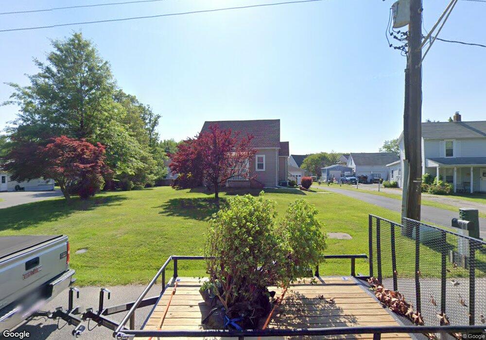
1014 Wampler Rd Middle River, MD 21220
Estimated Value: $200,000 - $295,000
Studio
1
Bath
1,156
Sq Ft
$232/Sq Ft
Est. Value
About This Home
This home is located at 1014 Wampler Rd, Middle River, MD 21220 and is currently estimated at $268,677, approximately $232 per square foot. 1014 Wampler Rd is a home located in Baltimore County with nearby schools including Vincent Farm Elementary, Middle River Middle School, and Kenwood High.
Ownership History
Date
Name
Owned For
Owner Type
Purchase Details
Closed on
May 17, 2013
Sold by
Moscariello Margaret Kathleen and Moscariello Charles Robert
Bought by
Moscariello Charles Robert
Current Estimated Value
Home Financials for this Owner
Home Financials are based on the most recent Mortgage that was taken out on this home.
Original Mortgage
$58,000
Interest Rate
3.45%
Mortgage Type
New Conventional
Purchase Details
Closed on
May 27, 1999
Sold by
Brooks Elmer O
Bought by
Moscariello Margaret Kathleen and Moscariello Charles Robert
Purchase Details
Closed on
Sep 24, 1991
Sold by
Botzler Elizabeth W
Bought by
Brooks Elmer O
Create a Home Valuation Report for This Property
The Home Valuation Report is an in-depth analysis detailing your home's value as well as a comparison with similar homes in the area
Home Values in the Area
Average Home Value in this Area
Purchase History
| Date | Buyer | Sale Price | Title Company |
|---|---|---|---|
| Moscariello Charles Robert | -- | Metropolitan Title Company | |
| Moscariello Margaret Kathleen | $116,500 | -- | |
| Brooks Elmer O | $80,000 | -- |
Source: Public Records
Mortgage History
| Date | Status | Borrower | Loan Amount |
|---|---|---|---|
| Closed | Moscariello Charles Robert | $58,000 |
Source: Public Records
Tax History
| Year | Tax Paid | Tax Assessment Tax Assessment Total Assessment is a certain percentage of the fair market value that is determined by local assessors to be the total taxable value of land and additions on the property. | Land | Improvement |
|---|---|---|---|---|
| 2025 | $2,839 | $215,367 | -- | -- |
| 2024 | $2,839 | $195,833 | $0 | $0 |
| 2023 | $1,418 | $176,300 | $82,400 | $93,900 |
| 2022 | $2,621 | $164,967 | $0 | $0 |
| 2021 | $2,400 | $153,633 | $0 | $0 |
| 2020 | $2,400 | $142,300 | $82,400 | $59,900 |
| 2019 | $2,354 | $141,567 | $0 | $0 |
| 2018 | $2,347 | $140,833 | $0 | $0 |
| 2017 | $2,282 | $140,100 | $0 | $0 |
| 2016 | $2,378 | $140,100 | $0 | $0 |
| 2015 | $2,378 | $140,100 | $0 | $0 |
| 2014 | $2,378 | $149,200 | $0 | $0 |
Source: Public Records
Map
Nearby Homes
- 0 Bird River Rd Unit MDBC2136640
- 0 Wampler Rd Unit MDBC2153670
- 0 Wampler Rd Unit MDBC2107084
- 1113 Muddy Branch Ct
- 1116 Muddy Branch Ct
- 1118 Muddy Branch Ct
- 1108 Muddy Branch Ct
- 804 Pineview Place
- 9707 Selfridge Rd
- 1201 Otter Point Ct
- 1202 Otter Point Ct
- 9663 Davison Rd
- 710 Luke Rd
- 1018 Meadow Glen Rd
- 17 Taos Cir
- 1145 Bengies Rd
- 139 Transverse Ave
- 1211 Reames Rd
- 10018 Sandy Run Rd
- 1315 Sleepy Hollow Ln
Your Personal Tour Guide
Ask me questions while you tour the home.