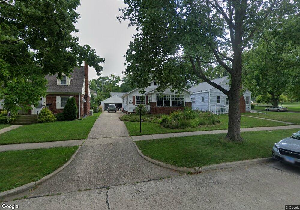
1015 W Daniel St Champaign, IL 61821
Clark NeighborhoodEstimated Value: $230,000 - $261,000
Studio
1
Bath
1,008
Sq Ft
$242/Sq Ft
Est. Value
About This Home
This home is located at 1015 W Daniel St, Champaign, IL 61821 and is currently estimated at $244,034, approximately $242 per square foot. 1015 W Daniel St is a home located in Champaign County with nearby schools including Central High School, Montessori Habitat School, and St John Lutheran School.
Ownership History
Date
Name
Owned For
Owner Type
Purchase Details
Closed on
Apr 24, 2009
Sold by
Busey Trust Company
Bought by
Larson Robert S and Larson Nancy A
Current Estimated Value
Home Financials for this Owner
Home Financials are based on the most recent Mortgage that was taken out on this home.
Original Mortgage
$14,000
Interest Rate
4.55%
Mortgage Type
Stand Alone Second
Create a Home Valuation Report for This Property
The Home Valuation Report is an in-depth analysis detailing your home's value as well as a comparison with similar homes in the area
Home Values in the Area
Average Home Value in this Area
Purchase History
| Date | Buyer | Sale Price | Title Company |
|---|---|---|---|
| Larson Robert S | $140,000 | None Available |
Source: Public Records
Mortgage History
| Date | Status | Borrower | Loan Amount |
|---|---|---|---|
| Closed | Larson Robert S | $14,000 | |
| Open | Larson Robert S | $112,000 |
Source: Public Records
Tax History
| Year | Tax Paid | Tax Assessment Tax Assessment Total Assessment is a certain percentage of the fair market value that is determined by local assessors to be the total taxable value of land and additions on the property. | Land | Improvement |
|---|---|---|---|---|
| 2024 | $4,615 | $68,270 | $24,350 | $43,920 |
| 2023 | $4,615 | $62,180 | $22,180 | $40,000 |
| 2022 | $4,723 | $57,360 | $20,460 | $36,900 |
| 2021 | $4,599 | $56,240 | $20,060 | $36,180 |
| 2020 | $4,361 | $53,560 | $19,100 | $34,460 |
| 2019 | $4,209 | $52,460 | $18,710 | $33,750 |
Source: Public Records
Map
Nearby Homes
- 1120 W Charles St
- 809 W John St
- 901 W Healey St
- 807 Haines Blvd
- 605 S Russell St
- 1108 S Prospect Ave
- 511 S Russell St
- 1219 W Healey St
- 1211 W Springfield Ave
- 1004 Mayfair Rd
- 911 S New St
- 1206 S Prospect Ave
- 7 Greencroft Dr
- 311 S Van Doren St
- 911 Foley Ave
- 21 Greencroft Dr
- 910 Foley Ave
- 22 Greencroft Dr
- 722 S Lynn St
- 204 Flora Dr
- 1013 W Daniel St
- 802 S Mckinley Ave
- 1011 W Daniel St
- 1016 W William St
- 1018 W William St
- 1014 W William St
- 1009 W Daniel St
- 1012 W William St
- 1016 W Daniel St
- 1007 W Daniel St
- 1010 W William St
- 1014 W Daniel St
- 1018 W Daniel St
- 1012 W Daniel St
- 1020 W Daniel St
- 1010 W Daniel St
- 1005 W Daniel St
- 1022 W Daniel St
- 1008 W William St
- 1008 W Daniel St
Your Personal Tour Guide
Ask me questions while you tour the home.