Estimated Value: $391,000 - $484,000
4
Beds
3
Baths
2,372
Sq Ft
$185/Sq Ft
Est. Value
About This Home
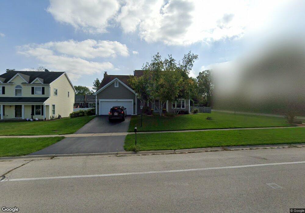
This home is located at 1015 W Main St, Cary, IL 60013 and is currently estimated at $439,276, approximately $185 per square foot. 1015 W Main St is a home located in McHenry County with nearby schools including Briargate Elementary School, Cary Jr High School, and Cary-Grove High School.
Ownership History
Date
Name
Owned For
Owner Type
Purchase Details
Closed on
Aug 19, 1997
Sold by
Parks Frederick R and Parks Shelby L
Bought by
Englund Daniel and Englund Kathleen A
Current Estimated Value
Home Financials for this Owner
Home Financials are based on the most recent Mortgage that was taken out on this home.
Original Mortgage
$180,000
Outstanding Balance
$27,051
Interest Rate
7.57%
Estimated Equity
$412,225
Purchase Details
Closed on
Dec 20, 1995
Sold by
Besasie Anthony J and Besasie Kelly L
Bought by
Parks Ii Frederick R and Parks Shelby L
Home Financials for this Owner
Home Financials are based on the most recent Mortgage that was taken out on this home.
Original Mortgage
$156,400
Interest Rate
7.43%
Purchase Details
Closed on
Mar 18, 1994
Sold by
Heil Paul W and Heil Kathleen L
Bought by
Besasie Anthony J and Besasie Kelly L
Home Financials for this Owner
Home Financials are based on the most recent Mortgage that was taken out on this home.
Original Mortgage
$153,600
Interest Rate
4.75%
Create a Home Valuation Report for This Property
The Home Valuation Report is an in-depth analysis detailing your home's value as well as a comparison with similar homes in the area
Home Values in the Area
Average Home Value in this Area
Purchase History
We collect this data history from publicly available records. To have your information removed, we recommend requesting removal directly through your county’s website.
| Date | Buyer | Sale Price | Title Company |
|---|---|---|---|
| Englund Daniel | $200,000 | -- | |
| Parks Ii Frederick R | $196,000 | -- | |
| Besasie Anthony J | $192,000 | -- |
Source: Public Records
Mortgage History
We collect this data history from publicly available records. To have your information removed, we recommend requesting removal directly through your county’s website.
| Date | Status | Borrower | Loan Amount |
|---|---|---|---|
| Open | Englund Daniel | $180,000 | |
| Previous Owner | Parks Ii Frederick R | $156,400 | |
| Previous Owner | Besasie Anthony J | $153,600 |
Source: Public Records
Tax History
| Year | Tax Paid | Tax Assessment Tax Assessment Total Assessment is a certain percentage of the fair market value that is determined by local assessors to be the total taxable value of land and additions on the property. | Land | Improvement |
|---|---|---|---|---|
| 2024 | $9,584 | $121,807 | $22,330 | $99,477 |
| 2023 | $9,344 | $108,941 | $19,971 | $88,970 |
| 2022 | $8,623 | $98,094 | $20,749 | $77,345 |
| 2021 | $8,216 | $91,386 | $19,330 | $72,056 |
| 2020 | $7,971 | $88,151 | $18,646 | $69,505 |
| 2019 | $7,812 | $84,371 | $17,846 | $66,525 |
| 2018 | $10,088 | $104,596 | $16,486 | $88,110 |
| 2017 | $9,903 | $98,536 | $15,531 | $83,005 |
| 2016 | $9,839 | $92,418 | $14,567 | $77,851 |
| 2013 | -- | $78,124 | $13,589 | $64,535 |
Source: Public Records
Map
Nearby Homes
- 75 Hampton St
- 38 Chelsea Ln
- 51 Chelsea Ln
- 363 Milano Dr Unit 41
- 39 Boxwood Ln
- 417 Haber Rd Unit 6
- 421 Haber Rd Unit 7
- 425 Haber Rd Unit 6
- 10 Cumberland Ct
- 316 Haber Rd Unit 34125
- 6 Cambridge Ct
- 1266 Sagebrush Trail
- 18 New Haven Dr
- 1404 New Haven Dr Unit 4
- 277 Little Stonegate Ct
- 735 Royal Glen Dr
- 1365 New Haven Dr
- 1466 New Haven Dr
- 204 Country Commons Rd
- 550 Enclave Dr
- 1009 W Main St
- 980 Manchester St
- 1003 W Main St
- 974 Manchester St
- 968 Manchester St
- 1014 W Main St
- 997 W Main St
- 1008 W Main St
- 962 Manchester St
- 1002 W Main St
- 4 Georgetown Dr
- 991 W Main St
- 11 Georgetown Dr
- 956 Manchester St
- 999 Manchester St
- 993 Manchester St
- 14 Fairfield Ln
- 987 Manchester St
- 985 W Main St
- 10 Georgetown Dr
Your Personal Tour Guide
Ask me questions while you tour the home.