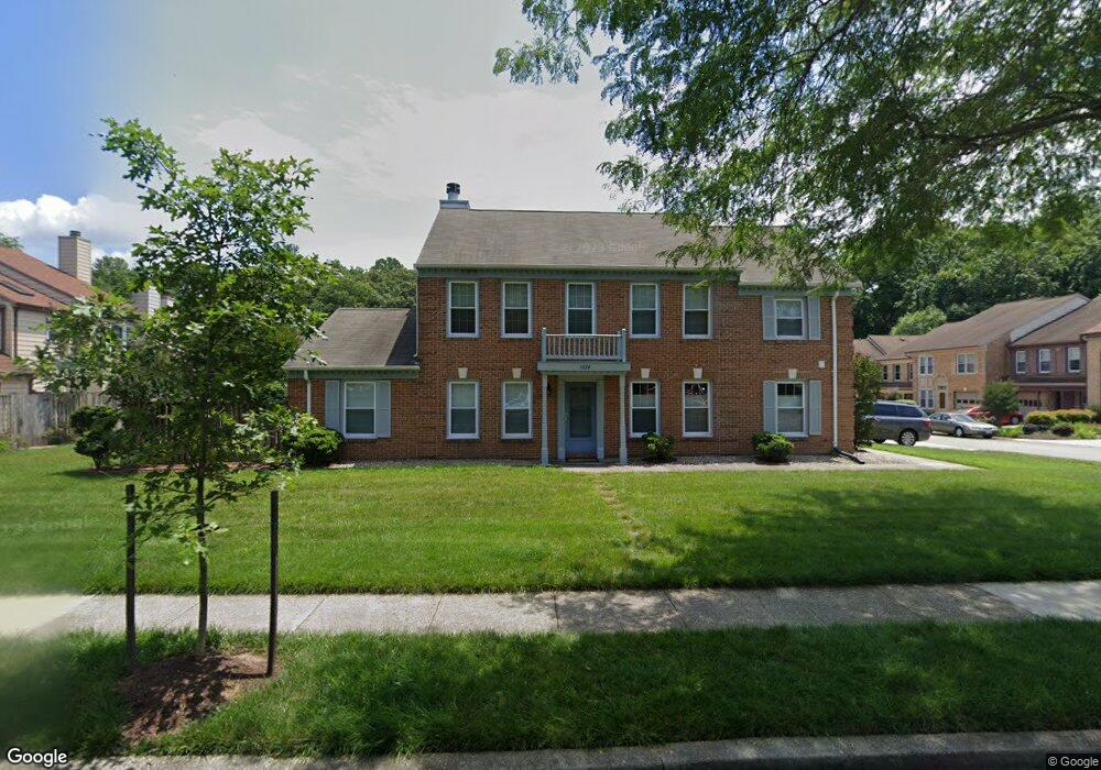
1016 Sextant Ct Annapolis, MD 21401
Parole NeighborhoodEstimated Value: $418,000 - $482,000
Studio
3
Baths
1,916
Sq Ft
$242/Sq Ft
Est. Value
About This Home
This home is located at 1016 Sextant Ct, Annapolis, MD 21401 and is currently estimated at $462,725, approximately $241 per square foot. 1016 Sextant Ct is a home located in Anne Arundel County with nearby schools including Rolling Knolls Elementary School, Wiley H. Bates Middle School, and Annapolis High School.
Ownership History
Date
Name
Owned For
Owner Type
Purchase Details
Closed on
Apr 14, 2000
Sold by
Anderson Phyllis T
Bought by
Anderson Phyllis T
Current Estimated Value
Purchase Details
Closed on
Dec 23, 1993
Sold by
Cranston G V
Bought by
Anderson Phyllis T
Home Financials for this Owner
Home Financials are based on the most recent Mortgage that was taken out on this home.
Original Mortgage
$108,000
Interest Rate
7%
Create a Home Valuation Report for This Property
The Home Valuation Report is an in-depth analysis detailing your home's value as well as a comparison with similar homes in the area
Home Values in the Area
Average Home Value in this Area
Purchase History
We collect this data history from publicly available records. To have your information removed, we recommend requesting removal directly through your county’s website.
| Date | Buyer | Sale Price | Title Company |
|---|---|---|---|
| Anderson Phyllis T | -- | -- | |
| Anderson Phyllis T | $144,000 | -- |
Source: Public Records
Mortgage History
We collect this data history from publicly available records. To have your information removed, we recommend requesting removal directly through your county’s website.
| Date | Status | Borrower | Loan Amount |
|---|---|---|---|
| Previous Owner | Anderson Phyllis T | $108,000 |
Source: Public Records
Tax History
| Year | Tax Paid | Tax Assessment Tax Assessment Total Assessment is a certain percentage of the fair market value that is determined by local assessors to be the total taxable value of land and additions on the property. | Land | Improvement |
|---|---|---|---|---|
| 2025 | $3,274 | $391,900 | -- | -- |
| 2024 | $3,274 | $359,400 | -- | -- |
| 2023 | $3,157 | $326,900 | $160,000 | $166,900 |
| 2022 | $2,951 | $320,200 | $0 | $0 |
| 2020 | $2,809 | $306,800 | $140,000 | $166,800 |
| 2019 | $2,755 | $294,300 | $0 | $0 |
| 2018 | $2,857 | $281,800 | $0 | $0 |
| 2017 | $2,584 | $269,300 | $0 | $0 |
| 2016 | -- | $256,567 | $0 | $0 |
| 2015 | -- | $243,833 | $0 | $0 |
| 2014 | -- | $231,100 | $0 | $0 |
Source: Public Records
Map
Nearby Homes
- 906 Perry Landing Ct
- 921 Boom Way
- 869 Clubhouse Village View
- 2579 Hidden Cove Rd Unit 159
- 2576 Hidden Cove Rd Unit 154
- 2627 Compass Dr
- 1955 Marconi Cir
- 2666 Pemaquid Ct
- 2607 Compass Dr
- 2568 Glen Cove
- 847 Mission Valley Ln
- 860 Woodmont Rd
- 2550 Golfers Ridge Rd
- 940 Astern Way Unit 102A
- 940 Astern Way Unit 304
- 930 Astern Way Unit 512
- 930 Astern Way Unit 304
- 930 Astern Way Unit 510
- 2646 Quiet Water Cove
- 927 Riversedge Cir
- 914 Sextant Way
- 912 Sextant Way
- 910 Sextant Way
- 908 Sextant Way
- 906 Sextant Way
- 913 Sextant Way
- 915 Sextant Way
- 911 Sextant Way
- 909 Sextant Way
- 900 Boom Way
- 900 Perry Landing Ct
- 902 Boom Way
- 905 Sextant Way
- 902 Perry Landing Ct
- 903 Sextant Way
- 901 Boom Way
- 904 Boom Way
- 901 Sextant Way
- 904 Perry Landing Ct
- 903 Boom Way
Your Personal Tour Guide
Ask me questions while you tour the home.