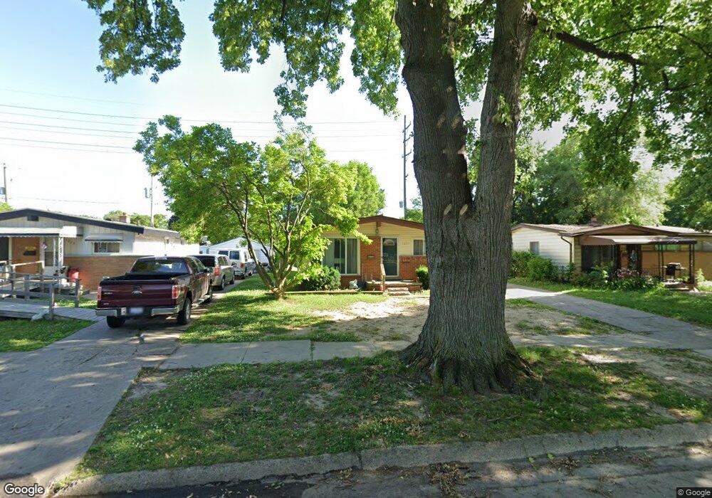
1017 Macdonald Ave Flint, MI 48507
Circle Drive NeighborhoodEstimated Value: $76,874 - $101,000
3
Beds
1
Bath
941
Sq Ft
$93/Sq Ft
Est. Value
About This Home
This home is located at 1017 Macdonald Ave, Flint, MI 48507 and is currently estimated at $87,969, approximately $93 per square foot. 1017 Macdonald Ave is a home located in Genesee County with nearby schools including Freeman Elementary School, Flint Southwestern Classical Academy, and International Academy of Flint (K-12).
Ownership History
Date
Name
Owned For
Owner Type
Purchase Details
Closed on
Jun 6, 2011
Sold by
Secretary Of Housing & Urban Development
Bought by
S & S Property Management Llc
Current Estimated Value
Purchase Details
Closed on
Feb 8, 2011
Sold by
Wells Fargo Bank Na
Bought by
The Secretary Of Housing & Urban Develop
Purchase Details
Closed on
Dec 1, 2010
Sold by
Strutts William R
Bought by
Wells Fargo Bank Na
Purchase Details
Closed on
Nov 13, 2002
Sold by
Berry Darris D and Berry Linda D
Bought by
Tcf National Bank
Purchase Details
Closed on
Oct 17, 2002
Sold by
Berry Darris and Berry Linda
Bought by
Berry Linda
Purchase Details
Closed on
Jun 19, 2002
Sold by
Berry Darris D and Berry Linda D
Bought by
Bankers Trust Company Of California Na
Create a Home Valuation Report for This Property
The Home Valuation Report is an in-depth analysis detailing your home's value as well as a comparison with similar homes in the area
Home Values in the Area
Average Home Value in this Area
Purchase History
We collect this data history from publicly available records. To have your information removed, we recommend requesting removal directly through your county’s website.
| Date | Buyer | Sale Price | Title Company |
|---|---|---|---|
| S & S Property Management Llc | $11,059 | None Available | |
| The Secretary Of Housing & Urban Develop | -- | None Available | |
| Wells Fargo Bank Na | $73,956 | None Available | |
| Tcf National Bank | $8,551 | -- | |
| Berry Linda | -- | First American Title Ins Co | |
| Bankers Trust Company Of California Na | $47,068 | -- |
Source: Public Records
Tax History
| Year | Tax Paid | Tax Assessment Tax Assessment Total Assessment is a certain percentage of the fair market value that is determined by local assessors to be the total taxable value of land and additions on the property. | Land | Improvement |
|---|---|---|---|---|
| 2025 | $979 | $40,700 | $0 | $0 |
| 2024 | $910 | $35,600 | $0 | $0 |
| 2023 | $893 | $29,900 | $0 | $0 |
| 2022 | $0 | $22,900 | $0 | $0 |
| 2021 | $903 | $21,700 | $0 | $0 |
| 2020 | $835 | $21,200 | $0 | $0 |
| 2019 | $819 | $13,200 | $0 | $0 |
| 2018 | $800 | $10,700 | $0 | $0 |
| 2017 | $781 | $0 | $0 | $0 |
| 2016 | $776 | $0 | $0 | $0 |
| 2015 | -- | $0 | $0 | $0 |
| 2014 | -- | $0 | $0 | $0 |
| 2012 | -- | $17,100 | $0 | $0 |
Source: Public Records
Map
Nearby Homes
- 1005 Macdonald Ave
- 813 McKeighan Ave
- 4424 Cheyenne Ave
- 3290 Cheyenne Ave
- 3317 Cheyenne Ave
- 617 McKeighan Ave
- 3193 Myrton St
- 916 Buckingham Ave
- 621 Burroughs Ave
- 630 Buckingham Ave
- 4126 Circle Dr
- 3056 Shaw St
- 4533 Pengelly Rd
- 4234 Custer Ave
- 2291 Kenneth St
- 413 E Hemphill Rd
- 2271 Kenneth St
- 4127 Custer Ave
- 720 Algonquin Ave
- 2289 Connell St
- 1001 Macdonald Ave
- 1009 Macdonald Ave
- 917 Macdonald Ave
- 1013 Macdonald Ave
- 1006 McKeighan Ave
- 1002 McKeighan Ave
- 1010 McKeighan Ave
- 1006 Macdonald Ave
- 918 McKeighan Ave
- 1002 Macdonald Ave
- 1010 Macdonald Ave
- 1014 McKeighan Ave
- 918 Macdonald Ave
- 909 Macdonald Ave
- 1021 Macdonald Ave
- 1014 Macdonald Ave
- 914 McKeighan Ave
- 914 Macdonald Ave
- 1018 Macdonald Ave
- 910 McKeighan Ave
Your Personal Tour Guide
Ask me questions while you tour the home.