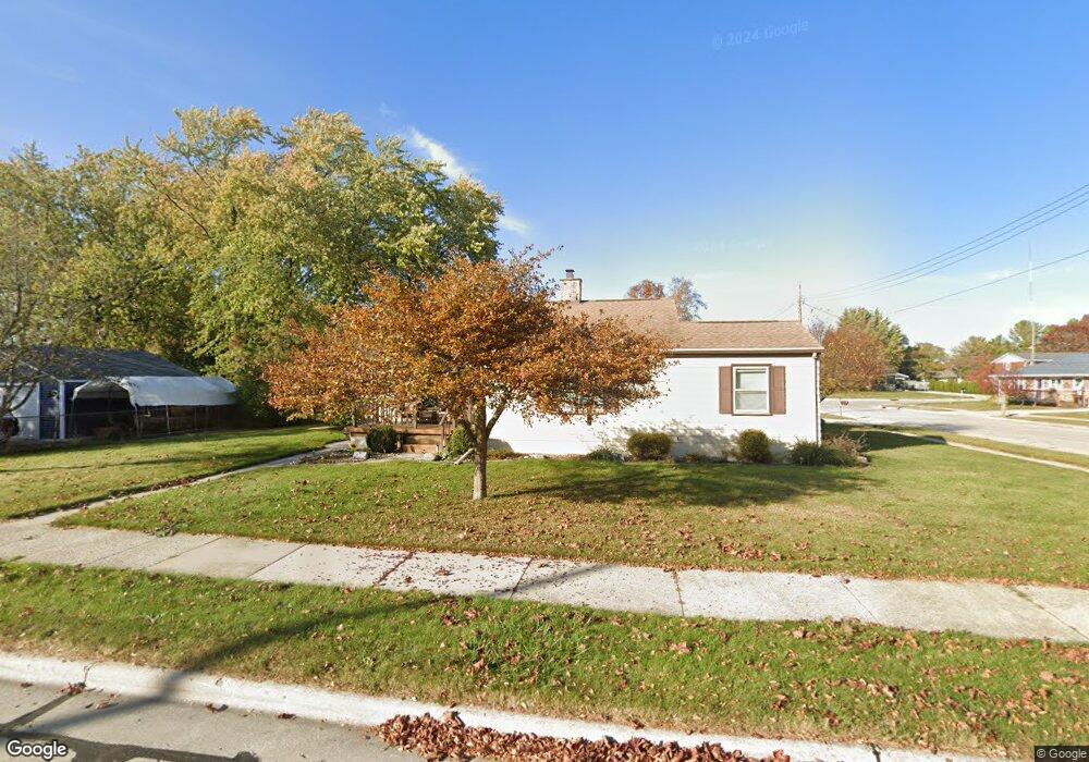
1018 E Linden Ave Manitowoc, WI 54220
Estimated Value: $201,172 - $220,000
3
Beds
1
Bath
1,511
Sq Ft
$139/Sq Ft
Est. Value
About This Home
This home is located at 1018 E Linden Ave, Manitowoc, WI 54220 and is currently estimated at $210,586, approximately $139 per square foot. 1018 E Linden Ave is a home located in Manitowoc County with nearby schools including Riverview Elementary School, Wilson Middle School, and Lincoln High School.
Ownership History
Date
Name
Owned For
Owner Type
Purchase Details
Closed on
Aug 14, 2023
Sold by
Kummer Eugene P
Bought by
Denis Conner A
Current Estimated Value
Home Financials for this Owner
Home Financials are based on the most recent Mortgage that was taken out on this home.
Original Mortgage
$132,000
Outstanding Balance
$128,405
Interest Rate
6.71%
Mortgage Type
New Conventional
Estimated Equity
$82,181
Create a Home Valuation Report for This Property
The Home Valuation Report is an in-depth analysis detailing your home's value as well as a comparison with similar homes in the area
Home Values in the Area
Average Home Value in this Area
Purchase History
| Date | Buyer | Sale Price | Title Company |
|---|---|---|---|
| Denis Conner A | $165,000 | None Listed On Document | |
| Denis Conner A | $165,000 | None Listed On Document |
Source: Public Records
Mortgage History
| Date | Status | Borrower | Loan Amount |
|---|---|---|---|
| Open | Denis Conner A | $132,000 |
Source: Public Records
Tax History
| Year | Tax Paid | Tax Assessment Tax Assessment Total Assessment is a certain percentage of the fair market value that is determined by local assessors to be the total taxable value of land and additions on the property. | Land | Improvement |
|---|---|---|---|---|
| 2024 | $2,277 | $143,200 | $19,500 | $123,700 |
| 2023 | $2,082 | $143,200 | $19,500 | $123,700 |
| 2022 | $1,843 | $105,200 | $19,500 | $85,700 |
| 2021 | $1,830 | $105,200 | $19,500 | $85,700 |
| 2020 | $1,813 | $94,100 | $19,500 | $74,600 |
| 2019 | $1,780 | $94,100 | $19,500 | $74,600 |
| 2018 | $1,755 | $94,100 | $19,500 | $74,600 |
| 2017 | $1,747 | $94,100 | $19,500 | $74,600 |
| 2016 | $1,811 | $94,100 | $19,500 | $74,600 |
| 2015 | $1,868 | $94,100 | $19,500 | $74,600 |
| 2014 | $1,820 | $94,100 | $19,500 | $74,600 |
| 2013 | $1,845 | $94,100 | $19,500 | $74,600 |
Source: Public Records
Map
Nearby Homes
- 1209 E Thomas St
- 807 E Linden Ave
- 316 E Park View Ln
- 1339 Wolf Run
- 338 Woodridge Place
- 1925 Creekwood Ct
- 604 Reed Ave
- 2101 Hunters Ridge Ct
- 436 Maple Leaf Ct
- 2348 Wild Oak Dr
- 1465 N 8th St
- 901 Hawthorne Ct
- LT0 Mosie Ct
- 4220 Memorial Dr
- 402 Wild Oak Dr
- 1316 N 8th St
- 1337 N 9th St
- 516 New York Ave
- 131 Mckinley St
- 924 N 8th St
- 1524 Jasmine Dr
- 1012 E Linden Ave
- 1011 E Linden Ave
- 1527 Jasmine Dr
- 1603 Jasmine Dr
- 1522 Jasmine Dr
- 1616 Jasmine Dr
- 1523 Jasmine Dr
- 1002 E Linden Ave
- 1607 Jasmine Dr
- 1519 Jasmine Dr
- 1106 E Thomas St
- 1102 E Thomas St
- 1622 Jasmine Dr
- 1611 Iris Dr
- 1611 Jasmine Dr
- 1516 Jasmine Dr
- 1541 Iris Dr
- 1537 Iris Dr
- 1110 E Thomas St
Your Personal Tour Guide
Ask me questions while you tour the home.