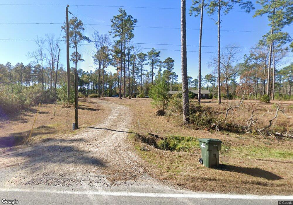
1018 Maxwell Rd Whigham, GA 39897
Estimated Value: $387,602 - $389,000
Studio
--
Bath
1,916
Sq Ft
$203/Sq Ft
Est. Value
About This Home
This home is located at 1018 Maxwell Rd, Whigham, GA 39897 and is currently estimated at $388,301, approximately $202 per square foot. 1018 Maxwell Rd is a home with nearby schools including Bainbridge High School.
Ownership History
Date
Name
Owned For
Owner Type
Purchase Details
Closed on
Jun 8, 2010
Sold by
Knight Jason Darrell
Bought by
Knight Jason Darrell and Knight Allison O
Current Estimated Value
Purchase Details
Closed on
Nov 27, 2007
Sold by
Knight Donald R
Bought by
Knight Jason Darrell
Create a Home Valuation Report for This Property
The Home Valuation Report is an in-depth analysis detailing your home's value as well as a comparison with similar homes in the area
Purchase History
| Date | Buyer | Sale Price | Title Company |
|---|---|---|---|
| Knight Jason Darrell | -- | -- | |
| Knight Jason Darrell | -- | -- |
Source: Public Records
Tax History
| Year | Tax Paid | Tax Assessment Tax Assessment Total Assessment is a certain percentage of the fair market value that is determined by local assessors to be the total taxable value of land and additions on the property. | Land | Improvement |
|---|---|---|---|---|
| 2025 | $4,037 | $179,118 | $11,618 | $167,500 |
| 2024 | $4,027 | $135,710 | $11,618 | $124,092 |
| 2023 | $3,604 | $135,710 | $11,618 | $124,092 |
| 2022 | $3,997 | $139,362 | $7,872 | $131,490 |
| 2021 | $3,858 | $132,133 | $7,344 | $124,789 |
| 2020 | $3,690 | $120,145 | $7,344 | $112,801 |
| 2019 | $2,855 | $90,045 | $7,344 | $82,701 |
| 2018 | $2,820 | $90,045 | $7,344 | $82,701 |
| 2017 | $2,825 | $90,045 | $7,344 | $82,701 |
| 2016 | $2,764 | $90,082 | $7,380 | $82,701 |
| 2015 | $2,802 | $90,082 | $7,380 | $82,701 |
| 2014 | $2,444 | $90,082 | $7,380 | $82,701 |
| 2013 | -- | $90,081 | $7,380 | $82,701 |
Source: Public Records
Map
Nearby Homes
- Jowers Rd
- 0 Cal Thomas Rd
- 302 Nottingham Dr NW
- 0 Jowers Rd
- 219 Lady Bug Ln
- 206 Lodge Ln
- 491&501 Melton Brinson Rd
- Harrell Mill Rd
- 202 W Broad St
- 3339 Old Whigham Rd
- 384 Cleon Waldrop Rd
- 0 Eddie Avery Rd Unit 14399
- 267 Providence Rd
- 317 Palmer Rd
- 218 Hidden Springs Rd
- 547 Eddie Avery Rd
- 162 Bucklake Dr
- 141 Covey Rise Rd
- 274 Barrineau Rd
- 1741 Georgia 112
- 1117 Clarence M Rd
- 993 Maxwell Rd
- 964 Maxwell Rd
- 948 Maxwell Rd
- 1108 Clarence M Rd
- 1033 Clarence M Rd
- 1038 Clarence M Rd
- 1001 Clarence M Rd
- 898 Maxwell Rd
- 992 Clarence M Rd
- 851 Maxwell Rd
- 921 Clarence M Rd
- 596 Union Springs Rd
- 845 Maxwell Rd
- 696 Union Springs Rd
- 872 Clarence M Rd
- 914 Mobley Rd
- 984 Mobley Rd
- 630 Union Springs Rd
- 933 Mobley Rd
Your Personal Tour Guide
Ask me questions while you tour the home.