1018 N Shell Rd Calhoun, IL 62419
Estimated Value: $141,000 - $155,880
Studio
--
Bath
--
Sq Ft
136,778
Sq Ft Lot
About This Home
This home is located at 1018 N Shell Rd, Calhoun, IL 62419 and is currently estimated at $148,440. 1018 N Shell Rd is a home with nearby schools including Richland County Elementary School, Richland County Middle School, and Richland County High School.
Ownership History
Date
Name
Owned For
Owner Type
Purchase Details
Closed on
Oct 1, 2013
Sold by
Leathers Kelsey L and Leathers Jennifer M
Bought by
Davis Brian Michael
Current Estimated Value
Home Financials for this Owner
Home Financials are based on the most recent Mortgage that was taken out on this home.
Original Mortgage
$60,000
Outstanding Balance
$30,819
Interest Rate
4.5%
Estimated Equity
$117,621
Purchase Details
Closed on
Oct 21, 2005
Sold by
Schrey Terrence E
Bought by
Leathers Kelsey L
Home Financials for this Owner
Home Financials are based on the most recent Mortgage that was taken out on this home.
Original Mortgage
$44,000
Interest Rate
7.37%
Create a Home Valuation Report for This Property
The Home Valuation Report is an in-depth analysis detailing your home's value as well as a comparison with similar homes in the area
Purchase History
| Date | Buyer | Sale Price | Title Company |
|---|---|---|---|
| Davis Brian Michael | -- | -- | |
| Leathers Kelsey L | -- | -- |
Source: Public Records
Mortgage History
| Date | Status | Borrower | Loan Amount |
|---|---|---|---|
| Open | Davis Brian Michael | $60,000 | |
| Previous Owner | Leathers Kelsey L | $44,000 |
Source: Public Records
Tax History
| Year | Tax Paid | Tax Assessment Tax Assessment Total Assessment is a certain percentage of the fair market value that is determined by local assessors to be the total taxable value of land and additions on the property. | Land | Improvement |
|---|---|---|---|---|
| 2024 | $2,260 | $41,640 | $3,832 | $37,808 |
| 2023 | $2,116 | $38,555 | $3,548 | $35,007 |
| 2022 | $1,975 | $35,699 | $3,285 | $32,414 |
| 2021 | $1,941 | $33,999 | $3,129 | $30,870 |
| 2020 | $1,214 | $23,399 | $3,068 | $20,331 |
| 2019 | $1,237 | $23,399 | $3,068 | $20,331 |
| 2018 | $1,234 | $23,399 | $3,068 | $20,331 |
| 2017 | $1,232 | $23,168 | $3,038 | $20,130 |
| 2016 | $1,180 | $22,064 | $2,893 | $19,171 |
| 2015 | $1,147 | $21,216 | $2,782 | $18,434 |
| 2014 | $1,099 | $20,800 | $2,727 | $18,073 |
| 2013 | $1,254 | $17,100 | $2,497 | $14,603 |
Source: Public Records
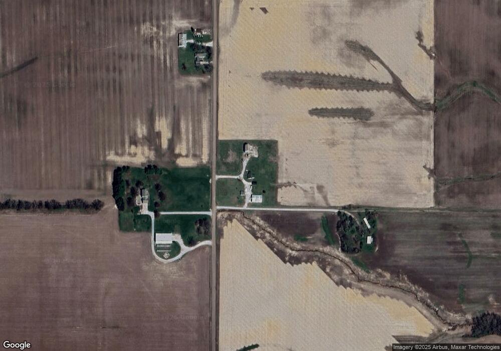
Map
Nearby Homes
- 203 N Monroe St
- 204 W Pine St
- 110 Jack Allen Dr
- 2516 Buckhorn Rd
- 499 Rd. Panther
- 3918 N Saint Marie Rd
- S22 T1N R14W Co Rd 1750 N
- 000 Cr 2200 N
- 22292 E 700 Rd
- 309 Larch Dr
- 1210 Borah St
- 804 E Lafayette St
- 215 E Harmon St
- 1203 S Baltimore St
- 601 E Lafayette St
- 525 S Grant St
- 2304 Mimosa Dr
- 530 S East St
- 310 S Adams St
- 210 S Adams St
Your Personal Tour Guide
Ask me questions while you tour the home.