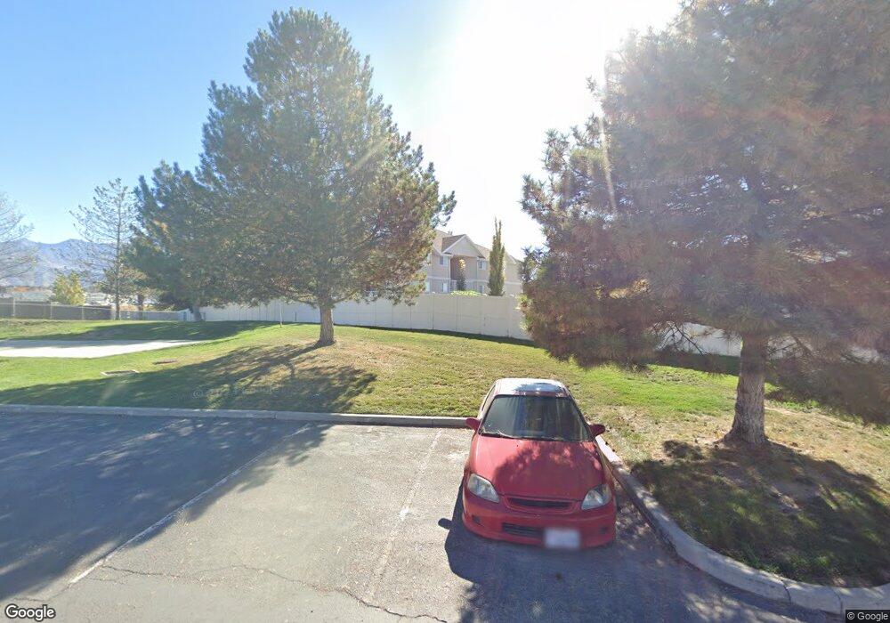
1018 W 1360 S Orem, UT 84058
Lakeview NeighborhoodEstimated Value: $297,000 - $331,000
2
Beds
2
Baths
1,031
Sq Ft
$297/Sq Ft
Est. Value
About This Home
This home is located at 1018 W 1360 S, Orem, UT 84058 and is currently estimated at $306,370, approximately $297 per square foot. 1018 W 1360 S is a home located in Utah County with nearby schools including Vineyard Elementary School, Lakeridge Jr High School, and Mountain View High School.
Ownership History
Date
Name
Owned For
Owner Type
Purchase Details
Closed on
Sep 7, 2006
Sold by
Crawford Gary L and Crawford Kathryn A
Bought by
Pirates Chest Llc
Current Estimated Value
Home Financials for this Owner
Home Financials are based on the most recent Mortgage that was taken out on this home.
Original Mortgage
$87,200
Outstanding Balance
$52,052
Interest Rate
6.56%
Mortgage Type
Purchase Money Mortgage
Estimated Equity
$254,318
Create a Home Valuation Report for This Property
The Home Valuation Report is an in-depth analysis detailing your home's value as well as a comparison with similar homes in the area
Home Values in the Area
Average Home Value in this Area
Purchase History
We collect this data history from publicly available records. To have your information removed, we recommend requesting removal directly through your county’s website.
| Date | Buyer | Sale Price | Title Company |
|---|---|---|---|
| Pirates Chest Llc | -- | Provo Land Title Company | |
| Crawford Gary L | -- | Provo Land Title Company |
Source: Public Records
Mortgage History
We collect this data history from publicly available records. To have your information removed, we recommend requesting removal directly through your county’s website.
| Date | Status | Borrower | Loan Amount |
|---|---|---|---|
| Open | Crawford Gary L | $87,200 |
Source: Public Records
Tax History
| Year | Tax Paid | Tax Assessment Tax Assessment Total Assessment is a certain percentage of the fair market value that is determined by local assessors to be the total taxable value of land and additions on the property. | Land | Improvement |
|---|---|---|---|---|
| 2025 | $1,241 | $158,895 | -- | -- |
| 2024 | $1,241 | $151,800 | $0 | $0 |
| 2023 | $1,176 | $154,605 | $0 | $0 |
| 2022 | $1,111 | $141,515 | $0 | $0 |
| 2021 | $1,046 | $201,800 | $24,200 | $177,600 |
| 2020 | $951 | $180,200 | $21,600 | $158,600 |
| 2019 | $879 | $173,300 | $23,600 | $149,700 |
| 2018 | $844 | $159,000 | $20,000 | $139,000 |
| 2017 | $774 | $78,045 | $0 | $0 |
| 2016 | $763 | $70,950 | $0 | $0 |
| 2015 | $775 | $68,200 | $0 | $0 |
| 2014 | $715 | $62,645 | $0 | $0 |
Source: Public Records
Map
Nearby Homes
- 1395 S 1020 W
- 1363 S 1150 W
- 1321 S 1200 W
- 1250 W 1295 S Unit 28
- 1727 S Sandhill Rd
- 1505 S 630 W Unit 3033
- 1513 S 630 W
- 1506 S 615 W
- 1894 S 1030 W
- 442 W 1430 S Unit 421
- 1913 S 1030 W
- 1924 S 1120 W
- 1917 S 1030 W
- 1928 S 1030 W
- 1941 S 1080 W
- 854 W 1950 S
- 1052 W 1970 S
- 830 W 1950 S
- 467 W 1640 S
- 1079 W 1970 S
Your Personal Tour Guide
Ask me questions while you tour the home.