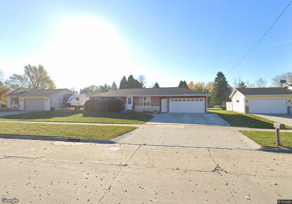
1019 E Cedar Ave Manitowoc, WI 54220
Estimated Value: $221,000 - $228,940
3
Beds
1
Bath
1,040
Sq Ft
$216/Sq Ft
Est. Value
About This Home
This home is located at 1019 E Cedar Ave, Manitowoc, WI 54220 and is currently estimated at $224,970, approximately $216 per square foot. 1019 E Cedar Ave is a home located in Manitowoc County with nearby schools including Riverview Elementary School, Wilson Middle School, and Lincoln High School.
Ownership History
Date
Name
Owned For
Owner Type
Purchase Details
Closed on
Sep 16, 2005
Sold by
Posvic Eugene and Posvic Susan
Bought by
Leurquin John T and Leurquin Angela N
Current Estimated Value
Home Financials for this Owner
Home Financials are based on the most recent Mortgage that was taken out on this home.
Original Mortgage
$90,400
Outstanding Balance
$51,946
Interest Rate
7.05%
Mortgage Type
Adjustable Rate Mortgage/ARM
Estimated Equity
$173,024
Create a Home Valuation Report for This Property
The Home Valuation Report is an in-depth analysis detailing your home's value as well as a comparison with similar homes in the area
Home Values in the Area
Average Home Value in this Area
Purchase History
| Date | Buyer | Sale Price | Title Company |
|---|---|---|---|
| Leurquin John T | $113,000 | None Available |
Source: Public Records
Mortgage History
| Date | Status | Borrower | Loan Amount |
|---|---|---|---|
| Open | Leurquin John T | $90,400 |
Source: Public Records
Tax History
| Year | Tax Paid | Tax Assessment Tax Assessment Total Assessment is a certain percentage of the fair market value that is determined by local assessors to be the total taxable value of land and additions on the property. | Land | Improvement |
|---|---|---|---|---|
| 2024 | $2,690 | $166,400 | $20,100 | $146,300 |
| 2023 | $2,465 | $166,400 | $20,100 | $146,300 |
| 2019 | $2,152 | $111,700 | $20,100 | $91,600 |
Source: Public Records
Map
Nearby Homes
- 1209 E Thomas St
- 807 E Linden Ave
- 316 E Park View Ln
- 1339 Wolf Run
- 338 Woodridge Place
- 1925 Creekwood Ct
- 2101 Hunters Ridge Ct
- 2348 Wild Oak Dr
- 436 Maple Leaf Ct
- LT0 Mosie Ct
- 2128 Hunters Ridge Ct
- 4220 Memorial Dr
- 1465 N 8th St
- 402 Wild Oak Dr
- 901 Hawthorne Ct
- 1316 N 8th St
- 1337 N 9th St
- 131 Mckinley St
- 516 New York Ave
- 2510 Stoney Brook Ct
- 1025 E Cedar Ave
- 1011 E Cedar Ave
- 1631 Iris Dr
- 1107 E Cedar Ave
- 1635 Iris Dr
- 1639 Iris Dr
- 1622 Jasmine Dr
- 1616 Jasmine Dr
- 1623 Iris Dr
- 1116 E Thomas St
- 1115 E Cedar Ave
- 1100 E Cedar Ave
- 1110 E Thomas St
- 1106 E Thomas St
- 1102 E Thomas St
- 1130 E Thomas St
- 1636 Iris Dr
- 1640 Iris Dr
- 1630 Iris Dr
- 1611 Jasmine Dr
Your Personal Tour Guide
Ask me questions while you tour the home.