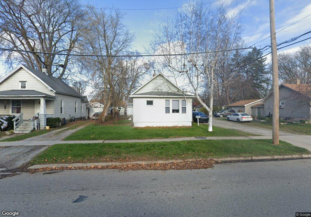
1019 Hancock St Port Huron, MI 48060
Port Huron AreaEstimated Value: $112,000 - $161,000
About This Home
This home is located at 1019 Hancock St, Port Huron, MI 48060 and is currently estimated at $127,422, approximately $128 per square foot. 1019 Hancock St is a home located in St. Clair County with nearby schools including Garfield Elementary School, Holland Woods Middle School, and Port Huron Northern High School.
Ownership History
We collect this data history from publicly available records. To have your information removed, we recommend requesting removal directly through your county’s website.
Purchase Details
Purchase Details
Purchase Details
Home Values in the Area
Average Home Value in this Area
Purchase History
We collect this data history from publicly available records. To have your information removed, we recommend requesting removal directly through your county’s website.
| Date | Buyer | Sale Price | Title Company |
|---|---|---|---|
| -- | Sky Title Agency | ||
| $13,000 | Attorneys Title Agency Llc | ||
| $98,277 | None Available |
Tax History
We collect this data history from publicly available records. To have your information removed, we recommend requesting removal directly through your county’s website.
| Year | Tax Paid | Tax Assessment Tax Assessment Total Assessment is a certain percentage of the fair market value that is determined by local assessors to be the total taxable value of land and additions on the property. | Land | Improvement |
|---|---|---|---|---|
| 2025 | $1,209 | $43,000 | $0 | $0 |
| 2024 | $1,176 | $39,800 | $0 | $0 |
| 2023 | $1,113 | $35,500 | $0 | $0 |
| 2022 | $1,063 | $30,400 | $0 | $0 |
| 2020 | $1,019 | $25,700 | $25,700 | $0 |
| 2019 | $1,001 | $17,800 | $0 | $0 |
| 2018 | $979 | $17,800 | $0 | $0 |
| 2017 | $899 | $16,700 | $0 | $0 |
| 2016 | $790 | $16,700 | $0 | $0 |
| 2015 | $775 | $15,100 | $15,100 | $0 |
| 2014 | $775 | $14,400 | $14,400 | $0 |
| 2013 | -- | $14,500 | $0 | $0 |
Map
- 2519 Walnut St
- 2714 Stone St
- 2420 Stone St
- 2739 Stone St
- 1301 Myrtle St
- 1116 Garfield St
- 2711 Cherry St
- 2400 Stone St Unit 2414
- 2600 Armour St
- 2611 Wright St
- 2904 Gratiot Ave
- 728 Lakeview Ave
- 2731 Omar St Unit 8
- 1117 Joann Ct
- 2015 Elk St
- 3118 Elk St
- 1842 Edison Shores Place
- 3144 Gratiot Ave
- 1816 S Woodland Dr
- 2928 Pine Grove Ave
Ask me questions while you tour the home.