Estimated Value: $267,000 - $351,000
1
Bed
2
Baths
1,448
Sq Ft
$216/Sq Ft
Est. Value
About This Home
This home is located at 10190 Redhawk Unit 6, Perry, MI 48872 and is currently estimated at $313,192, approximately $216 per square foot. 10190 Redhawk Unit 6 is a home located in Livingston County with nearby schools including Natalie Kreeger Elementary School, H.T. Smith Elementary School, and Fowlerville Junior High School.
Ownership History
Date
Name
Owned For
Owner Type
Purchase Details
Closed on
Feb 4, 2003
Sold by
Culver Builders Inc
Bought by
Demarais Steven J and Demarais Kathline R
Current Estimated Value
Home Financials for this Owner
Home Financials are based on the most recent Mortgage that was taken out on this home.
Original Mortgage
$180,000
Outstanding Balance
$77,708
Interest Rate
6.06%
Mortgage Type
Purchase Money Mortgage
Estimated Equity
$235,485
Create a Home Valuation Report for This Property
The Home Valuation Report is an in-depth analysis detailing your home's value as well as a comparison with similar homes in the area
Home Values in the Area
Average Home Value in this Area
Purchase History
| Date | Buyer | Sale Price | Title Company |
|---|---|---|---|
| Demarais Steven J | $200,000 | American Title Co Of Livings |
Source: Public Records
Mortgage History
| Date | Status | Borrower | Loan Amount |
|---|---|---|---|
| Open | Demarais Steven J | $180,000 |
Source: Public Records
Tax History
| Year | Tax Paid | Tax Assessment Tax Assessment Total Assessment is a certain percentage of the fair market value that is determined by local assessors to be the total taxable value of land and additions on the property. | Land | Improvement |
|---|---|---|---|---|
| 2025 | $1,216 | $146,690 | $0 | $0 |
| 2024 | $1,182 | $159,380 | $0 | $0 |
| 2023 | $1,130 | $154,310 | $0 | $0 |
| 2022 | $2,484 | $109,180 | $0 | $0 |
| 2021 | $2,414 | $109,180 | $0 | $0 |
| 2020 | $2,404 | $107,620 | $0 | $0 |
| 2019 | $2,326 | $107,920 | $0 | $0 |
| 2018 | $2,296 | $81,730 | $0 | $0 |
| 2017 | $2,238 | $81,730 | $0 | $0 |
| 2016 | $2,223 | $78,500 | $0 | $0 |
| 2014 | $2,034 | $74,820 | $0 | $0 |
| 2012 | $2,034 | $73,290 | $0 | $0 |
Source: Public Records
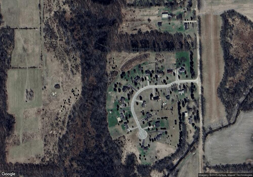
Map
Nearby Homes
- 35.5 V L Lovejoy Rd
- 35.5 V/L Lovejoy
- 14888 S State Rd
- 00 W Vogt Rd
- 3-B W Sober Rd
- 6045 Herrington Rd N
- 4961 W Lovejoy Rd
- 9697 Marsh Rd
- 9776 Marsh Rd
- 6632 Hanna Ct
- 3824 Britton Rd
- 4 Blue Water Way
- 000 Chase Lake Rd
- 00 W Lansing Rd
- 8603 N Owosso Rd
- 510 N Skyview Dr
- 443 E Pond View Dr
- VL W Bruff Rd
- 120 W Mason
- 0 Hayner Rd Unit 20251044211
- 10218 Redhawk
- 10162 Redhawk Unit 5
- 10187 Redhawk Unit 14
- 10246 Redhawk
- 10134 Redhawk Unit 4
- 10115 Redhawk Unit 15
- 10255 Redhawk
- 10274 Redhawk
- 10102 Redhawk Unit 3
- 10093 Redhawk
- 10279 Redhawk Unit 12
- 10078 Redhawk Unit 2
- 10065 Redhawk
- 10065 Redhawk Unit 17
- 10291 Redhawk Unit 11
- 10050 Redhawk Unit 1
- 10311 Redhawk Unit 10
- 11685 Nicholson Rd
- 11827 Nicholson Rd
- 11795 Nicholson Rd
Your Personal Tour Guide
Ask me questions while you tour the home.