10195 Cty Rd 284 Carl Junction, MO 64834
Estimated Value: $268,000 - $333,195
Studio
2
Baths
1,639
Sq Ft
$179/Sq Ft
Est. Value
About This Home
This home is located at 10195 Cty Rd 284, Carl Junction, MO 64834 and is currently estimated at $293,049, approximately $178 per square foot. 10195 Cty Rd 284 is a home located in Jasper County with nearby schools including Carl Junction Primary School (K-1), Carl Junction Intermediate School, and Carl Junction Primary School (2-3).
Ownership History
Date
Name
Owned For
Owner Type
Purchase Details
Closed on
Jun 23, 2023
Sold by
Russell T Asbell Irrevocable Trust and Southwest Missouri Bank
Bought by
Gatey Allan and Gatey Kacie
Current Estimated Value
Home Financials for this Owner
Home Financials are based on the most recent Mortgage that was taken out on this home.
Original Mortgage
$72,000
Outstanding Balance
$69,906
Interest Rate
6.35%
Mortgage Type
Seller Take Back
Estimated Equity
$223,143
Purchase Details
Closed on
May 22, 2017
Sold by
Bailey Orville R and Bailey Helen A
Bought by
Asbell Jacob L and Russell T Asbell Irrevocable Trust
Create a Home Valuation Report for This Property
The Home Valuation Report is an in-depth analysis detailing your home's value as well as a comparison with similar homes in the area
Purchase History
We collect this data history from publicly available records. To have your information removed, we recommend requesting removal directly through your county’s website.
| Date | Buyer | Sale Price | Title Company |
|---|---|---|---|
| Gatey Allan | -- | None Listed On Document | |
| Gatey Allan | -- | None Listed On Document | |
| Gatey Allan | -- | None Listed On Document | |
| Gatey Allan | -- | None Listed On Document | |
| Asbell Jacob L | -- | None Available | |
| Asbell Jacob L | -- | None Available |
Source: Public Records
Mortgage History
We collect this data history from publicly available records. To have your information removed, we recommend requesting removal directly through your county’s website.
| Date | Status | Borrower | Loan Amount |
|---|---|---|---|
| Open | Gatey Allan | $72,000 | |
| Closed | Gatey Allan | $72,000 |
Source: Public Records
Tax History
| Year | Tax Paid | Tax Assessment Tax Assessment Total Assessment is a certain percentage of the fair market value that is determined by local assessors to be the total taxable value of land and additions on the property. | Land | Improvement |
|---|---|---|---|---|
| 2025 | $1,236 | $27,010 | $1,720 | $25,290 |
| 2024 | $1,235 | $24,410 | $1,720 | $22,690 |
| 2023 | $1,235 | $24,410 | $1,720 | $22,690 |
| 2022 | $1,281 | $25,140 | $1,720 | $23,420 |
| 2021 | $1,273 | $25,140 | $1,720 | $23,420 |
| 2020 | $1,196 | $23,220 | $1,720 | $21,500 |
| 2019 | $1,136 | $23,220 | $1,720 | $21,500 |
| 2018 | $1,161 | $23,790 | $0 | $0 |
| 2017 | $1,164 | $23,790 | $0 | $0 |
| 2016 | $1,150 | $23,720 | $0 | $0 |
| 2015 | $1,126 | $23,720 | $0 | $0 |
| 2014 | $1,126 | $23,720 | $0 | $0 |
Source: Public Records
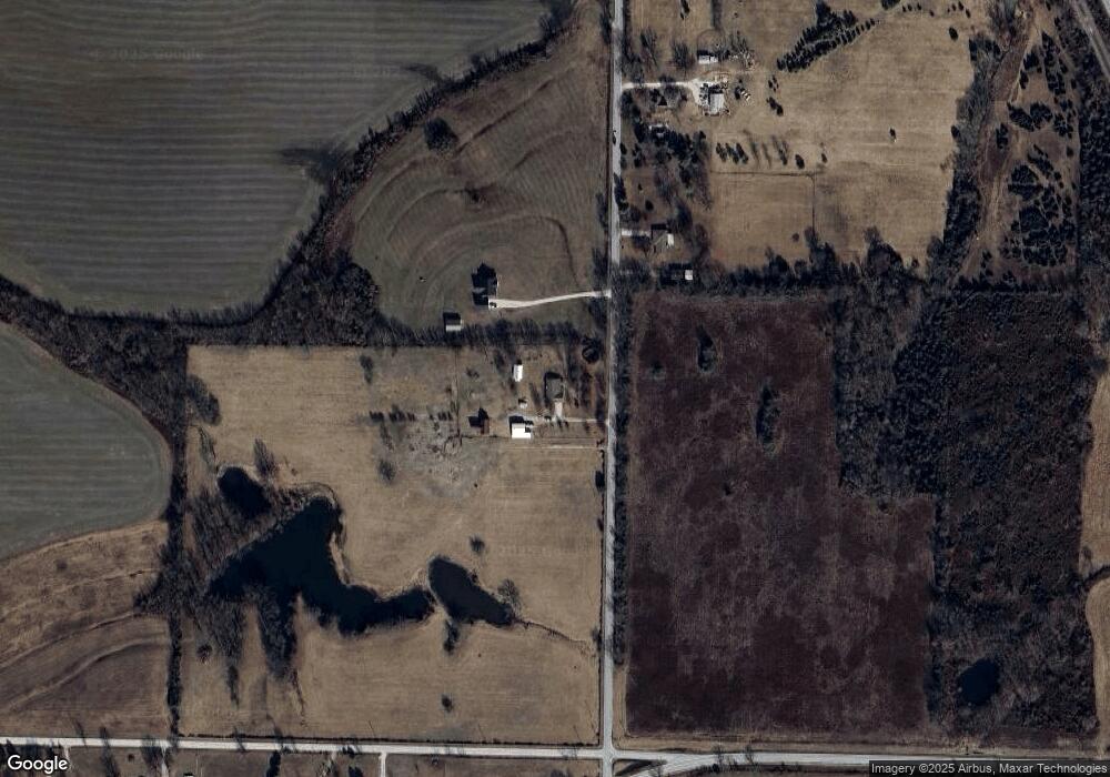
Map
Nearby Homes
- 10350 County Road 284 (25+ - Acres)
- 10350 County Road 284 (5+ - Acres)
- 10350 County Road 284
- 28305 Route Yy
- Lot 4B Hwy 171 & Fir Rd
- Lot 4 Hwy 171 & Fir Rd
- 0 Kafir Rd Unit HMS2589605
- TBD Kafir Rd
- TBD Route Yy
- 29320 State Highway Yy
- 1000 Aberdeen Ave
- 1001 Aberdeen Ave
- 908 Aberdeen Ave
- 909 Aberdeen Ave
- 906 Aberdeen Ave
- 907 Aberdeen Ave
- 904 Aberdeen Ave
- 905 Aberdeen Ave
- 903 Aberdeen Ave
- 900 Aberdeen Ave
- 10195 County Road 284
- 10282 County Road 284
- 28352 Juniper Rd
- 28364 Juniper Rd
- 10460 County Road 284
- 28305 State Highway Yy
- 28480 Juniper Rd
- 10534 County Road 284
- 10534 County Road 284 Unit 1
- 28536 Juniper Rd
- 10742 County Road 284
- 10531 County Road 284
- Xxx NW Corner Fir Road & Hwy 171
- 28702 Juniper Rd
- 27770 Knight Ln
- 12394 County Road 270
- 10112 State Highway 171
- TBD Briarwood Bluffs Lot 6 N A
- 6041&273 Fir Rd
- Tract E & D
Your Personal Tour Guide
Ask me questions while you tour the home.