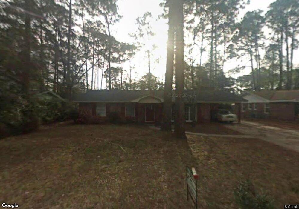
102 Allen Ln Brunswick, GA 31525
Estimated Value: $166,000 - $184,000
3
Beds
2
Baths
1,200
Sq Ft
$148/Sq Ft
Est. Value
About This Home
This home is located at 102 Allen Ln, Brunswick, GA 31525 and is currently estimated at $178,014, approximately $148 per square foot. 102 Allen Ln is a home located in Glynn County with nearby schools including Greer Elementary School, Needwood Middle School, and Brunswick High School.
Ownership History
Date
Name
Owned For
Owner Type
Purchase Details
Closed on
Dec 16, 2015
Sold by
Lindborg Karen L
Bought by
Powell Jack S and Powell Alicia Lynn
Current Estimated Value
Home Financials for this Owner
Home Financials are based on the most recent Mortgage that was taken out on this home.
Original Mortgage
$62,900
Outstanding Balance
$22,907
Interest Rate
3.98%
Mortgage Type
New Conventional
Estimated Equity
$155,107
Purchase Details
Closed on
Sep 26, 2006
Sold by
Ferrell Robert H
Bought by
Lindborg Steven J and Lindborg Karen L
Create a Home Valuation Report for This Property
The Home Valuation Report is an in-depth analysis detailing your home's value as well as a comparison with similar homes in the area
Home Values in the Area
Average Home Value in this Area
Purchase History
| Date | Buyer | Sale Price | Title Company |
|---|---|---|---|
| Powell Jack S | $77,900 | -- | |
| Lindborg Steven J | $103,000 | -- |
Source: Public Records
Mortgage History
| Date | Status | Borrower | Loan Amount |
|---|---|---|---|
| Open | Powell Jack S | $62,900 |
Source: Public Records
Tax History
| Year | Tax Paid | Tax Assessment Tax Assessment Total Assessment is a certain percentage of the fair market value that is determined by local assessors to be the total taxable value of land and additions on the property. | Land | Improvement |
|---|---|---|---|---|
| 2025 | $1,748 | $69,680 | $8,000 | $61,680 |
| 2024 | $1,557 | $62,080 | $4,040 | $58,040 |
| 2023 | $152 | $55,000 | $4,040 | $50,960 |
| 2022 | $459 | $47,440 | $4,040 | $43,400 |
| 2021 | $469 | $44,760 | $4,040 | $40,720 |
| 2020 | $472 | $44,760 | $4,040 | $40,720 |
| 2019 | $472 | $44,760 | $4,040 | $40,720 |
| 2018 | $693 | $36,040 | $2,720 | $33,320 |
| 2017 | $693 | $30,480 | $2,720 | $27,760 |
| 2016 | $657 | $26,800 | $2,720 | $24,080 |
| 2015 | $567 | $18,320 | $2,720 | $15,600 |
| 2014 | $567 | $18,320 | $2,720 | $15,600 |
Source: Public Records
Map
Nearby Homes
- 155 Mcdowell Ave
- 115 Shangri la Ave
- 135 Kensington Dr
- 100 Club Dr
- 1103 Fairway Rd
- 137 Landover Cir
- 436 Lakespur Ln
- 60 Powers Landing
- 122 Chatford Dr
- 114 Landover Dr
- 171 Drayton Cir
- 126 Drayton Cir
- 138 Crossbrook Dr
- 342 Peppertree Crossing Ave
- 29 Lisa Ln
- 71 E Chapel Dr
- 679 Shepard Dr
- 555 Kell Rd
- 505 Old Mission Rd
- 77 Glynnmarsh Ct
Your Personal Tour Guide
Ask me questions while you tour the home.