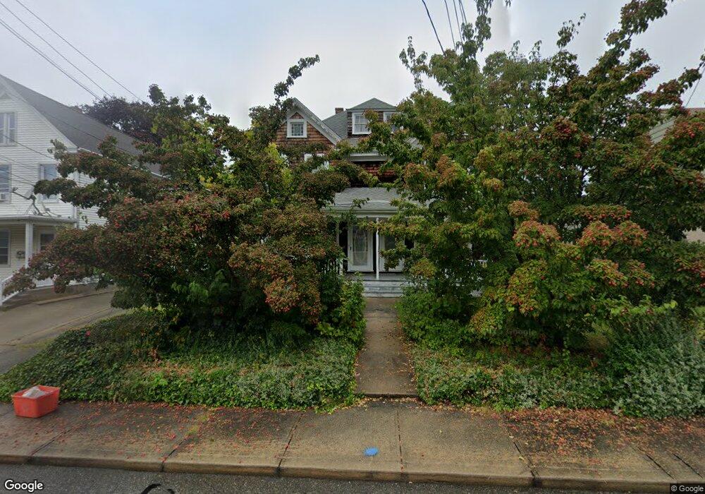
102 Baker Ave Groton, CT 06340
Estimated Value: $383,237 - $520,000
6
Beds
2
Baths
2,846
Sq Ft
$156/Sq Ft
Est. Value
About This Home
This home is located at 102 Baker Ave, Groton, CT 06340 and is currently estimated at $442,809, approximately $155 per square foot. 102 Baker Ave is a home located in New London County with nearby schools including Pleasant Valley School, Groton Middle School, and Robert E. Fitch High School.
Ownership History
Date
Name
Owned For
Owner Type
Purchase Details
Closed on
Apr 19, 2006
Sold by
Matheson-Dubosque Marion
Bought by
Frechette Joel A
Current Estimated Value
Home Financials for this Owner
Home Financials are based on the most recent Mortgage that was taken out on this home.
Original Mortgage
$130,000
Interest Rate
6.37%
Purchase Details
Closed on
Apr 2, 1997
Sold by
Moon Richard P and Moon Kathleen
Bought by
Dubosque Marion M
Create a Home Valuation Report for This Property
The Home Valuation Report is an in-depth analysis detailing your home's value as well as a comparison with similar homes in the area
Home Values in the Area
Average Home Value in this Area
Purchase History
| Date | Buyer | Sale Price | Title Company |
|---|---|---|---|
| Frechette Joel A | $270,000 | -- | |
| Frechette Joel A | $270,000 | -- | |
| Dubosque Marion M | $112,000 | -- |
Source: Public Records
Mortgage History
| Date | Status | Borrower | Loan Amount |
|---|---|---|---|
| Closed | Dubosque Marion M | $130,000 | |
| Previous Owner | Dubosque Marion M | $25,000 | |
| Previous Owner | Dubosque Marion M | $88,500 |
Source: Public Records
Tax History
| Year | Tax Paid | Tax Assessment Tax Assessment Total Assessment is a certain percentage of the fair market value that is determined by local assessors to be the total taxable value of land and additions on the property. | Land | Improvement |
|---|---|---|---|---|
| 2025 | $7,022 | $242,900 | $113,883 | $129,017 |
| 2024 | $6,532 | $242,900 | $113,883 | $129,017 |
| 2023 | $6,267 | $242,900 | $58,590 | $184,310 |
| 2022 | $6,060 | $242,900 | $58,590 | $184,310 |
| 2021 | $5,337 | $176,260 | $38,430 | $137,830 |
| 2020 | $5,184 | $176,260 | $38,430 | $137,830 |
| 2019 | $5,018 | $176,260 | $38,430 | $137,830 |
| 2018 | $5,067 | $176,260 | $38,430 | $137,830 |
| 2017 | $5,085 | $176,260 | $38,430 | $137,830 |
| 2016 | $4,953 | $182,350 | $47,530 | $134,820 |
| 2015 | $4,890 | $182,350 | $47,530 | $134,820 |
| 2014 | $4,550 | $182,350 | $47,530 | $134,820 |
Source: Public Records
Map
Nearby Homes
- 36 Baker Ave
- 68 Ramsdell St
- 25 Morgan Ct
- 130 Meridian St Unit 301
- 300 Meridian St Unit H
- 132 Thames St Unit R
- 43 George Ave Unit B
- 231 Poquonnock Rd
- 178 Mirra Dr
- 53 Bank St
- 147 Bank St
- 153 Bank St
- 113 Warner St
- 11 Carol Ct
- 20 Starr St
- 400 Bank St Unit 402
- 400 Bank St Unit 104
- 9 Brewer St
- 0 Bonnie Cir
- 461 Bank St Unit 302
Your Personal Tour Guide
Ask me questions while you tour the home.