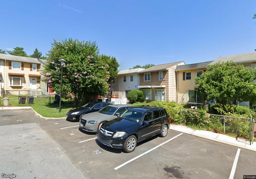
102 Daimler Dr Capitol Heights, MD 20743
Estimated Value: $282,000 - $308,000
Studio
--
Bath
1,896
Sq Ft
$156/Sq Ft
Est. Value
About This Home
This home is located at 102 Daimler Dr, Capitol Heights, MD 20743 and is currently estimated at $296,176, approximately $156 per square foot. 102 Daimler Dr is a home located in Prince George's County with nearby schools including Carmody Hills Elementary School, G. James Gholson Middle School, and Central High School.
Ownership History
Date
Name
Owned For
Owner Type
Purchase Details
Closed on
Dec 6, 2019
Sold by
Persad Llc
Bought by
Wood Meckael D
Current Estimated Value
Home Financials for this Owner
Home Financials are based on the most recent Mortgage that was taken out on this home.
Original Mortgage
$220,000
Outstanding Balance
$193,543
Interest Rate
3.6%
Mortgage Type
New Conventional
Estimated Equity
$102,633
Purchase Details
Closed on
Oct 5, 2018
Sold by
Oronsaye Christopher I and Oronsaye Christopher D
Bought by
Persad Llc
Home Financials for this Owner
Home Financials are based on the most recent Mortgage that was taken out on this home.
Original Mortgage
$110,000
Interest Rate
4.5%
Mortgage Type
Commercial
Purchase Details
Closed on
Dec 17, 1999
Sold by
Oronsaye Christopher D Et
Bought by
Oronsaye Christopher I
Purchase Details
Closed on
Apr 23, 1981
Sold by
Sydnor Ned S
Bought by
Oronsaye Christopher D Et
Create a Home Valuation Report for This Property
The Home Valuation Report is an in-depth analysis detailing your home's value as well as a comparison with similar homes in the area
Home Values in the Area
Average Home Value in this Area
Purchase History
| Date | Buyer | Sale Price | Title Company |
|---|---|---|---|
| Wood Meckael D | $220,000 | Stewart Title & Escrow | |
| Persad Llc | $87,550 | Brennan Title Co | |
| Oronsaye Christopher I | -- | -- | |
| Oronsaye Christopher D Et | $45,000 | -- |
Source: Public Records
Mortgage History
| Date | Status | Borrower | Loan Amount |
|---|---|---|---|
| Open | Wood Meckael D | $220,000 | |
| Closed | Wood Meckael D | $0 | |
| Previous Owner | Persad Llc | $110,000 |
Source: Public Records
Tax History
| Year | Tax Paid | Tax Assessment Tax Assessment Total Assessment is a certain percentage of the fair market value that is determined by local assessors to be the total taxable value of land and additions on the property. | Land | Improvement |
|---|---|---|---|---|
| 2025 | $3,719 | $233,000 | -- | -- |
| 2024 | $3,719 | $224,000 | -- | -- |
| 2023 | $3,584 | $215,000 | $64,500 | $150,500 |
| 2022 | $3,312 | $196,667 | $0 | $0 |
| 2021 | $3,039 | $178,333 | $0 | $0 |
| 2020 | $5,534 | $160,000 | $48,000 | $112,000 |
| 2019 | $2,100 | $146,667 | $0 | $0 |
| 2018 | $2,371 | $133,333 | $0 | $0 |
| 2017 | $1,925 | $120,000 | $0 | $0 |
| 2016 | -- | $103,333 | $0 | $0 |
| 2015 | $3,381 | $86,667 | $0 | $0 |
| 2014 | $3,381 | $70,000 | $0 | $0 |
Source: Public Records
Map
Nearby Homes
- 16 Daimler Dr Unit 62
- 6913 Canyon Dr
- 6706 Central Ave
- 6705 Hastings Dr
- 30 Arenas Ct
- 120 W Mill Ave
- 6610 Arlene Dr
- 6515 Adak St
- 6903 Fawncrest Dr
- 6415 Valley Park Rd
- 0 Central Ave
- 6420 Valley Park Rd
- 6915 Adel St
- 304 Cedarleaf Ave
- 110 Hill Rd
- 6615 Valley Park Rd
- 0 Central Ave Unit MDPG2184114
- 0 Central Ave Unit MDPG2184116
- 6902 Adel St
- 209 Addison Rd S
- 124 Daimler Dr Unit 2
- 134 Daimler Dr
- 116 Daimler Dr
- 120 Daimler Dr
- 90 Daimler Dr Unit 26
- 124 Daimler Dr
- 108 Daimler Dr
- 138 Daimler Dr
- 94 Daimler Dr
- 106 Daimler Dr
- 112 Daimler Dr
- 118 Daimler Dr
- 122 Daimler Dr
- 134 Daimler Dr Unit 7
- 116 Daimler Dr Unit 13
- 138 Daimler Dr Unit 9
- 120 Daimler Dr Unit 11
- 102 Daimler Dr Unit 20
- 98 Daimler Dr
- 130 Daimler Dr Unit 5
Your Personal Tour Guide
Ask me questions while you tour the home.