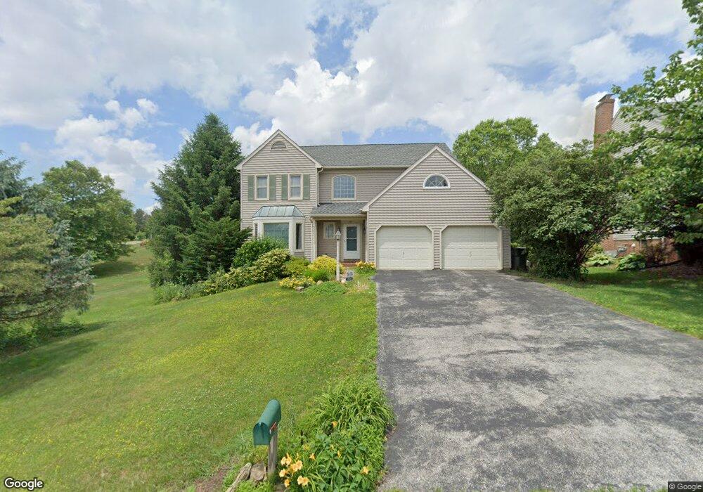
102 Deville Dr Red Lion, PA 17356
Estimated Value: $387,678 - $430,000
4
Beds
3
Baths
2,304
Sq Ft
$177/Sq Ft
Est. Value
About This Home
This home is located at 102 Deville Dr, Red Lion, PA 17356 and is currently estimated at $408,420, approximately $177 per square foot. 102 Deville Dr is a home located in York County with nearby schools including Larry J. Macaluso Elementary School, Red Lion Area Junior High School, and Red Lion Area Senior High School.
Ownership History
Date
Name
Owned For
Owner Type
Purchase Details
Closed on
Jul 1, 2011
Sold by
Deprator David L and Deprator Marcia M
Bought by
Keller William J and Keller Jane
Current Estimated Value
Purchase Details
Closed on
Mar 31, 2003
Sold by
Colombo Carl Samuel and Colombo Michelle
Bought by
Deprator David L and Deprator Marcia M
Home Financials for this Owner
Home Financials are based on the most recent Mortgage that was taken out on this home.
Original Mortgage
$75,000
Interest Rate
5.88%
Mortgage Type
Purchase Money Mortgage
Create a Home Valuation Report for This Property
The Home Valuation Report is an in-depth analysis detailing your home's value as well as a comparison with similar homes in the area
Home Values in the Area
Average Home Value in this Area
Purchase History
| Date | Buyer | Sale Price | Title Company |
|---|---|---|---|
| Keller William J | $230,000 | None Available | |
| Deprator David L | $185,900 | -- |
Source: Public Records
Mortgage History
| Date | Status | Borrower | Loan Amount |
|---|---|---|---|
| Previous Owner | Deprator David L | $75,000 | |
| Closed | Deprator David L | $100,000 |
Source: Public Records
Tax History
| Year | Tax Paid | Tax Assessment Tax Assessment Total Assessment is a certain percentage of the fair market value that is determined by local assessors to be the total taxable value of land and additions on the property. | Land | Improvement |
|---|---|---|---|---|
| 2025 | $6,217 | $198,870 | $54,180 | $144,690 |
| 2024 | $5,972 | $198,870 | $54,180 | $144,690 |
| 2023 | $5,972 | $198,870 | $54,180 | $144,690 |
| 2022 | $5,972 | $198,870 | $54,180 | $144,690 |
| 2021 | $5,803 | $198,870 | $54,180 | $144,690 |
| 2020 | $5,803 | $198,870 | $54,180 | $144,690 |
| 2019 | $5,783 | $198,870 | $54,180 | $144,690 |
| 2018 | $5,753 | $198,870 | $54,180 | $144,690 |
| 2017 | $5,703 | $198,870 | $54,180 | $144,690 |
| 2016 | $0 | $198,870 | $54,180 | $144,690 |
| 2015 | -- | $198,870 | $54,180 | $144,690 |
| 2014 | -- | $198,870 | $54,180 | $144,690 |
Source: Public Records
Map
Nearby Homes
- 104 Deville Dr
- 505 El Dorado Dr
- 503 El Dorado Dr
- 106 Deville Dr
- 103 Deville Dr
- 509 El Dorado Dr
- 105 Deville Dr
- 501 El Dorado Dr
- 150 Manor Rd
- 107 Deville Dr
- 506 El Dorado Dr
- 160 Manor Rd
- 502 El Dorado Dr
- 408 Seville Dr
- 406 Seville Dr
- 508 El Dorado Dr
- 404 Seville Dr
- 500 El Dorado Dr
- 513 El Dorado Dr
- 410 Seville Dr
Your Personal Tour Guide
Ask me questions while you tour the home.