Estimated Value: $272,552 - $349,000
Studio
2
Baths
1,764
Sq Ft
$180/Sq Ft
Est. Value
About This Home
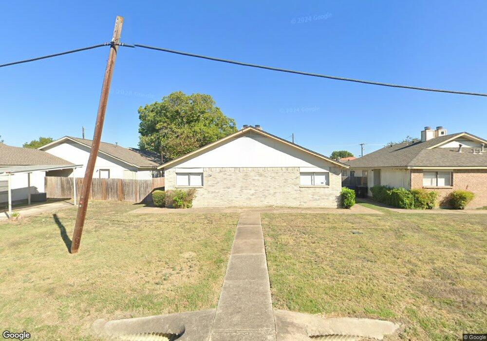
This home is located at 102 E Austin Ave Unit A, Hutto, TX 78634 and is currently estimated at $318,388, approximately $180 per square foot. 102 E Austin Ave Unit A is a home located in Williamson County with nearby schools including Hutto Elementary School, Hutto Middle School, and Hutto High School.
Ownership History
Date
Name
Owned For
Owner Type
Purchase Details
Closed on
Jun 19, 2019
Sold by
Mickan Curtis W and The Estate Of Marilyn E Mickan
Bought by
Reddy Karunakar P and Gummadi Srinivas A
Current Estimated Value
Home Financials for this Owner
Home Financials are based on the most recent Mortgage that was taken out on this home.
Original Mortgage
$157,500
Outstanding Balance
$138,200
Interest Rate
4%
Mortgage Type
New Conventional
Estimated Equity
$180,188
Create a Home Valuation Report for This Property
The Home Valuation Report is an in-depth analysis detailing your home's value as well as a comparison with similar homes in the area
Purchase History
| Date | Buyer | Sale Price | Title Company |
|---|---|---|---|
| Reddy Karunakar P | -- | None Available |
Source: Public Records
Mortgage History
| Date | Status | Borrower | Loan Amount |
|---|---|---|---|
| Open | Reddy Karunakar P | $157,500 |
Source: Public Records
Tax History
| Year | Tax Paid | Tax Assessment Tax Assessment Total Assessment is a certain percentage of the fair market value that is determined by local assessors to be the total taxable value of land and additions on the property. | Land | Improvement |
|---|---|---|---|---|
| 2025 | $6,529 | $281,771 | $89,281 | $192,490 |
| 2024 | $6,529 | $302,147 | $50,007 | $252,140 |
| 2023 | $6,461 | $298,804 | $50,007 | $248,797 |
| 2022 | $7,044 | $300,232 | $36,000 | $264,232 |
| 2021 | $6,480 | $240,551 | $36,000 | $204,551 |
| 2020 | $5,559 | $201,819 | $34,225 | $167,594 |
| 2019 | $5,725 | $209,241 | $36,000 | $173,241 |
| 2018 | $4,881 | $178,421 | $36,000 | $142,421 |
| 2017 | $4,476 | $158,286 | $24,000 | $134,286 |
| 2016 | $3,156 | $111,583 | $24,000 | $87,583 |
| 2015 | $2,984 | $105,053 | $22,000 | $83,053 |
| 2014 | $2,984 | $104,514 | $0 | $0 |
Source: Public Records
Map
Nearby Homes
- 209 Brushy St
- 315 Swenson Dr
- 206 N Fm 1660
- 204 Taylor St
- 302 N Fm 1660
- 110 W Pecan St
- 128 Inman Dr
- 231 Kerley Dr
- 127 Campos Dr
- 129 Aguilar Dr
- 322 Lone Star Blvd
- 304 Gainer Dr
- 215 Kerley Dr
- 11910 FM 1660 S Fm 1660
- 321 Durango Downs Dr
- 314 Durango Downs Dr
- 526 W Metcalfe St
- 308 Babblebrook Way
- 108 Cottonwood Dr
- 114 Gainer Dr
- 102 E Austin Ave Unit B
- 102 E Austin Ave
- 104 E Austin Ave
- 104 Jim Cage Ln Unit A
- 104 Jim Cage Ln Unit C
- 104 Jim Cage Ln
- 104 Jim Cage Ln Unit B
- 106 E Austin Ave Unit A
- 105 E Austin Ave
- 101 E Front St
- 101 E Front St Unit 102-103
- 101 E Front St Unit 102
- 103 E Austin Ave
- 110 E Austin Ave
- 103 Jim Cage Ln
- 101 Jim Cage Ln
- 133 W Front St
- 103 West St
- 118 E Front St
- 1111 Test
Your Personal Tour Guide
Ask me questions while you tour the home.