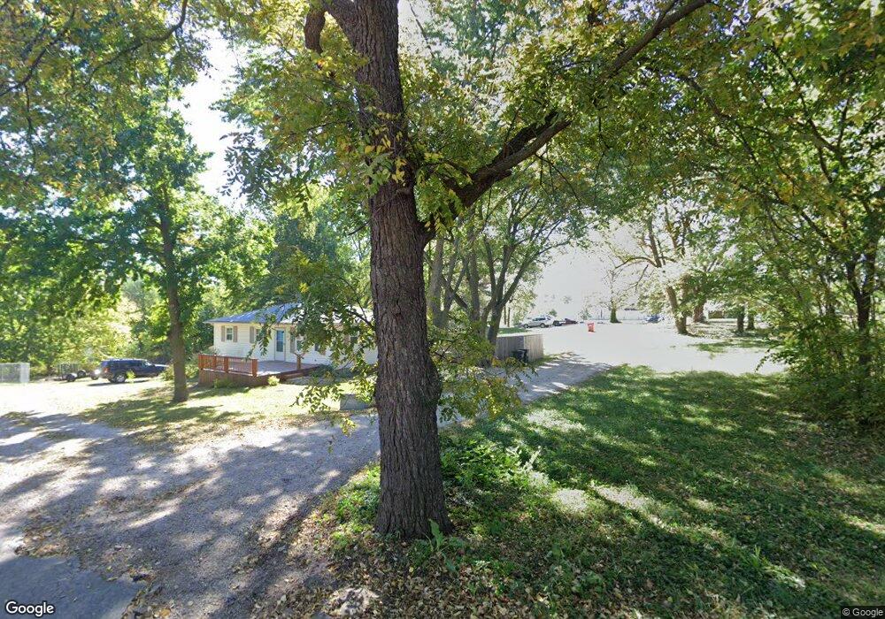
102 E Cannon Dr Lone Jack, MO 64070
Estimated Value: $155,497 - $287,000
About This Home
This home is located at 102 E Cannon Dr, Lone Jack, MO 64070 and is currently estimated at $212,874, approximately $241 per square foot. 102 E Cannon Dr is a home located in Jackson County with nearby schools including Lone Jack Elementary School and Lone Jack High School.
Ownership History
We collect this data history from publicly available records. To have your information removed, we recommend requesting removal directly through your county’s website.
Purchase Details
Home Financials for this Owner
Home Financials are based on the most recent Mortgage that was taken out on this home.Purchase Details
Home Financials for this Owner
Home Financials are based on the most recent Mortgage that was taken out on this home.Purchase History
We collect this data history from publicly available records. To have your information removed, we recommend requesting removal directly through your county’s website.
| Date | Buyer | Sale Price | Title Company |
|---|---|---|---|
| -- | None Available | ||
| -- | Metro One Title |
Mortgage History
We collect this data history from publicly available records. To have your information removed, we recommend requesting removal directly through your county’s website.
| Date | Status | Borrower | Loan Amount |
|---|---|---|---|
| Open | $63,593 | ||
| Previous Owner | $58,800 |
Tax History
We collect this data history from publicly available records. To have your information removed, we recommend requesting removal directly through your county’s website.
| Year | Tax Paid | Tax Assessment Tax Assessment Total Assessment is a certain percentage of the fair market value that is determined by local assessors to be the total taxable value of land and additions on the property. | Land | Improvement |
|---|---|---|---|---|
| 2025 | $1,992 | $8,793 | $8,417 | $376 |
| 2024 | $1,805 | $25,236 | $4,216 | $21,020 |
| 2023 | $1,805 | $25,236 | $5,590 | $19,646 |
| 2022 | $543 | $6,650 | $1,090 | $5,560 |
| 2021 | $529 | $6,650 | $1,090 | $5,560 |
| 2020 | $503 | $5,884 | $1,090 | $4,794 |
| 2019 | $500 | $5,884 | $1,090 | $4,794 |
| 2018 | $463 | $5,120 | $948 | $4,172 |
| 2017 | $463 | $5,120 | $948 | $4,172 |
| 2016 | $454 | $4,992 | $847 | $4,145 |
| 2014 | $475 | $4,992 | $847 | $4,145 |
Map
- 213 Blackjack Ave
- 302 Peach Tree Ave
- Tract H S Bynum Rd
- Tract G S Bynum Rd
- Tract K S Bynum Rd
- Tract F S Bynum Rd
- Tract J S Bynum Rd
- 506 N Bynum Rd
- 210 E Whispering Hills Blvd
- 106 E Woodland Ave
- 204 E Woodland Ave
- 115 E Maple St
- 308 Oak St
- 14515 S Hutt Rd
- 12204 S Bynum Rd
- 806 W Shawhan Pkwy
- 33604 E Stringtown Rd
- 14014 Crawford Creek Cir
- 13405 Woodland Ranch Dr
- 14913 S Outer Belt Extension
- 201 E Main St
- 101 N Bynum Rd
- 100 Cannon Dr
- 100 E Main St
- 150HWY N Bynum Rd
- 103 N Bynum Rd
- 201 N Bynum Rd
- 201 N Bynum Rd
- 105 E Lone Jack Lees Summit Rd
- 105 E Lone Jack Lees Summit Rd
- 105-107 Missouri 150
- 103 E Lone Jack Lees Summit Rd
- 200 N Bynum Rd
- 207 N Bynum Rd
- 202 N Bynum Rd
- 100 W Main St
- 204 N Bynum Rd
- 106 U S 50
- 103 W Lone Jack Lees Summit Rd
- 102 W Main St
Ask me questions while you tour the home.