102 Katie Ln Winchester, VA 22602
Estimated Value: $584,000 - $647,000
About This Home
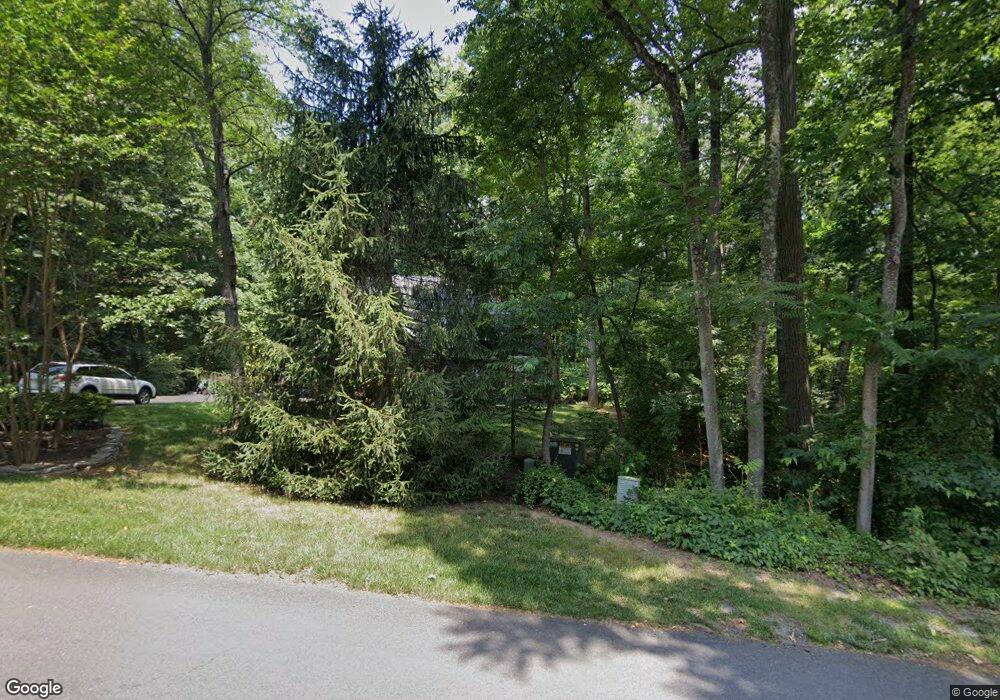
This home is located at 102 Katie Ln, Winchester, VA 22602 and is currently estimated at $610,648, approximately $258 per square foot. 102 Katie Ln is a home located in Frederick County with nearby schools including Orchard View Elementary School, James Wood Middle School, and Sherando High School.
Ownership History
We collect this data history from publicly available records. To have your information removed, we recommend requesting removal directly through your county’s website.
Purchase Details
Home Financials for this Owner
Home Financials are based on the most recent Mortgage that was taken out on this home.Home Values in the Area
Average Home Value in this Area
Purchase History
We collect this data history from publicly available records. To have your information removed, we recommend requesting removal directly through your county’s website.
| Date | Buyer | Sale Price | Title Company |
|---|---|---|---|
| $312,000 | -- |
Mortgage History
We collect this data history from publicly available records. To have your information removed, we recommend requesting removal directly through your county’s website.
| Date | Status | Borrower | Loan Amount |
|---|---|---|---|
| Closed | $393,600 | ||
| Closed | $645,000 | ||
| Closed | $50,000 | ||
| Closed | $320,000 | ||
| Closed | $312,000 |
Tax History
We collect this data history from publicly available records. To have your information removed, we recommend requesting removal directly through your county’s website.
| Year | Tax Paid | Tax Assessment Tax Assessment Total Assessment is a certain percentage of the fair market value that is determined by local assessors to be the total taxable value of land and additions on the property. | Land | Improvement |
|---|---|---|---|---|
| 2025 | $2,606 | $542,900 | $123,000 | $419,900 |
| 2024 | $1,188 | $466,000 | $104,500 | $361,500 |
| 2023 | $2,377 | $466,000 | $104,500 | $361,500 |
| 2022 | $2,398 | $393,100 | $98,500 | $294,600 |
| 2021 | $2,398 | $393,100 | $98,500 | $294,600 |
| 2020 | $2,194 | $359,700 | $98,500 | $261,200 |
| 2019 | $2,194 | $359,700 | $98,500 | $261,200 |
| 2018 | $2,091 | $342,800 | $98,500 | $244,300 |
| 2017 | $2,057 | $342,800 | $98,500 | $244,300 |
| 2016 | $1,822 | $303,600 | $86,000 | $217,600 |
| 2015 | $1,700 | $303,600 | $86,000 | $217,600 |
| 2014 | $893 | $302,900 | $86,000 | $216,900 |
Map
- 137 Old Forest Cir
- 60 Gravenstein Ct
- 314 Greenfield Ave
- 2431 Cedar Creek Grade
- 2230 Jones Rd
- 256 Brookneil Dr
- 2285 Jones Rd
- Lot 13 Tavistock Dr
- Lot 1 Tavistock Dr
- 300 Tavistock Dr
- 375 Tavistock Dr
- 1617 Merrimans Ln
- 1460 Pitcock Ln
- 125 Skyjes Ln
- 171 Laurel Grove Rd
- 150 Ewell Dr
- 1355 Perry Rd
- 199 Laurel Grove Rd
- 0 Renaissance Dr
- 1564 Perry Rd
- 104 Katie Ln
- 105 Katie Ln
- 106 Katie Ln
- 101 Katie Ln
- 107 Katie Ln
- 134 Old Forest Cir
- 101 Julie Ct
- 139 Old Forest Cir
- 131 Old Forest Cir
- 108 Anne Glass Rd
- 136 Old Forest Cir
- 109 Katie Ln
- 110 Anne Glass Rd
- 679 Stonymeade Dr
- 103 Julie Ct
- 128 Old Forest Cir
- 111 Katie Ln
- LOT #208 Anne Glass Rd
- 0 Anne Glass Rd
- 141 Old Forest Cir
Ask me questions while you tour the home.