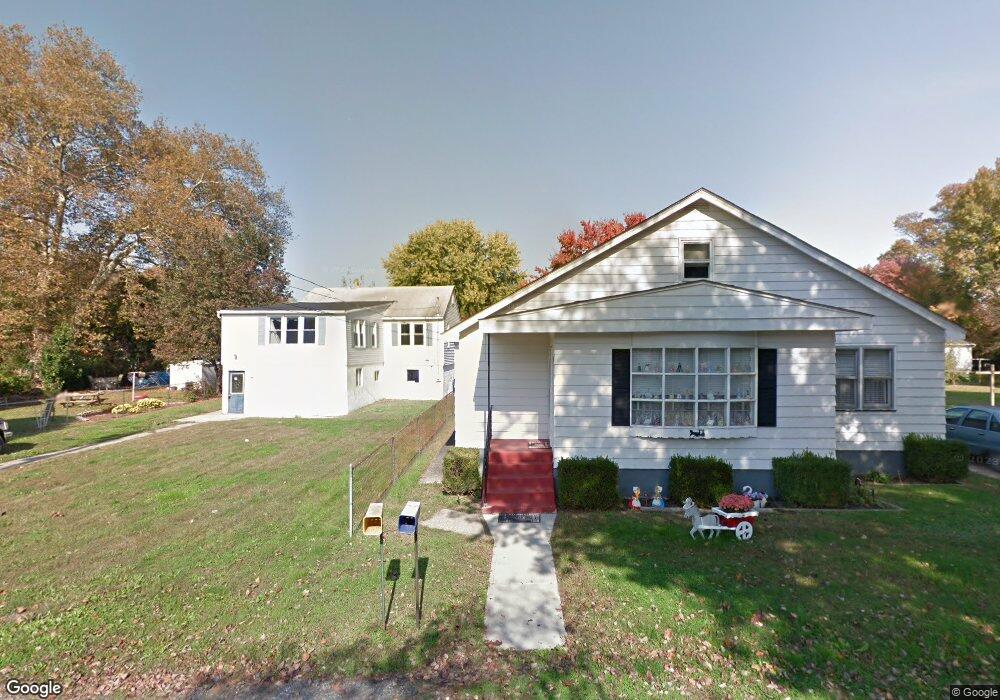
102 Main St Deepwater, NJ 08023
Estimated Value: $81,428 - $222,000
Studio
--
Bath
738
Sq Ft
$219/Sq Ft
Est. Value
About This Home
This home is located at 102 Main St, Deepwater, NJ 08023 and is currently estimated at $161,357, approximately $218 per square foot. 102 Main St is a home located in Salem County with nearby schools including Lafayette-Pershing Elementary School, Paul W. Carleton Elementary School, and Field Street Elementary School.
Ownership History
Date
Name
Owned For
Owner Type
Purchase Details
Closed on
Sep 28, 2023
Sold by
Hileman Wayne L
Bought by
Hileman Monica V
Current Estimated Value
Purchase Details
Closed on
Jul 5, 2017
Sold by
Castle 2016 Llc
Bought by
Hileman Wayne L
Purchase Details
Closed on
Oct 12, 2009
Sold by
Lamotte Elizabeth M
Bought by
Lamotte Robert L
Create a Home Valuation Report for This Property
The Home Valuation Report is an in-depth analysis detailing your home's value as well as a comparison with similar homes in the area
Home Values in the Area
Average Home Value in this Area
Purchase History
We collect this data history from publicly available records. To have your information removed, we recommend requesting removal directly through your county’s website.
| Date | Buyer | Sale Price | Title Company |
|---|---|---|---|
| Hileman Monica V | -- | None Listed On Document | |
| Hileman Wayne L | $12,900 | None Available | |
| Lamotte Robert L | -- | -- |
Source: Public Records
Tax History
| Year | Tax Paid | Tax Assessment Tax Assessment Total Assessment is a certain percentage of the fair market value that is determined by local assessors to be the total taxable value of land and additions on the property. | Land | Improvement |
|---|---|---|---|---|
| 2025 | $756 | $14,600 | $2,700 | $11,900 |
| 2024 | $730 | $20,500 | $18,000 | $2,500 |
| 2023 | $730 | $20,500 | $18,000 | $2,500 |
| 2022 | $687 | $20,500 | $18,000 | $2,500 |
| 2021 | $680 | $20,500 | $18,000 | $2,500 |
| 2020 | $686 | $20,500 | $18,000 | $2,500 |
| 2019 | $692 | $20,500 | $18,000 | $2,500 |
| 2018 | $142 | $4,500 | $1,300 | $3,200 |
| 2017 | $132 | $4,500 | $1,300 | $3,200 |
| 2016 | $127 | $4,500 | $1,300 | $3,200 |
| 2015 | $121 | $4,500 | $1,300 | $3,200 |
| 2014 | $115 | $4,500 | $1,300 | $3,200 |
Source: Public Records
Map
Nearby Homes
- 107 Plant St
- 105 Broad St
- 575 N Broadway
- 239 Pin Oak Dr
- 59 Forest Dr
- 604 Hawks Bridge Rd
- 455 Shell Rd
- 1 Victory Ave
- 1 Victory Ave Unit 84
- 1 Victory Ave Unit 74
- 1 Victory Ave Unit 72
- 1 Victory Ave Unit 93
- 1 Victory Ave Unit 56
- 1 Victory Ave Unit 22
- 1 Victory Ave Unit 26
- 613 Hawks Bridge Rd
- 361 N Hook Rd
- 371 40 Route
- 0 Kent Ave
- 17 King St
Your Personal Tour Guide
Ask me questions while you tour the home.