102 Red Robin Rd Naugatuck, CT 06770
Estimated Value: $357,653 - $383,000
3
Beds
2
Baths
1,782
Sq Ft
$206/Sq Ft
Est. Value
About This Home
This home is located at 102 Red Robin Rd, Naugatuck, CT 06770 and is currently estimated at $366,913, approximately $205 per square foot. 102 Red Robin Rd is a home located in New Haven County with nearby schools including City Hill Middle School and Naugatuck High School.
Ownership History
Date
Name
Owned For
Owner Type
Purchase Details
Closed on
Jul 11, 2017
Sold by
Zalewski Joseph M and Zalewski Ellen L
Bought by
Zalewski Lt and Zalewski
Current Estimated Value
Purchase Details
Closed on
Jan 19, 1990
Sold by
Reaves Osborne M
Bought by
Desrosiers Albert E
Home Financials for this Owner
Home Financials are based on the most recent Mortgage that was taken out on this home.
Original Mortgage
$118,800
Interest Rate
9.68%
Mortgage Type
Purchase Money Mortgage
Create a Home Valuation Report for This Property
The Home Valuation Report is an in-depth analysis detailing your home's value as well as a comparison with similar homes in the area
Home Values in the Area
Average Home Value in this Area
Purchase History
| Date | Buyer | Sale Price | Title Company |
|---|---|---|---|
| Zalewski Lt | -- | None Available | |
| Zalewski Lt | -- | None Available | |
| Desrosiers Albert E | $132,000 | -- |
Source: Public Records
Mortgage History
| Date | Status | Borrower | Loan Amount |
|---|---|---|---|
| Previous Owner | Desrosiers Albert E | $91,500 | |
| Previous Owner | Desrosiers Albert E | $118,800 |
Source: Public Records
Tax History
| Year | Tax Paid | Tax Assessment Tax Assessment Total Assessment is a certain percentage of the fair market value that is determined by local assessors to be the total taxable value of land and additions on the property. | Land | Improvement |
|---|---|---|---|---|
| 2025 | $7,579 | $190,470 | $32,060 | $158,410 |
| 2024 | $7,960 | $190,470 | $32,060 | $158,410 |
| 2023 | $8,524 | $190,470 | $32,060 | $158,410 |
| 2022 | $6,059 | $126,880 | $34,060 | $92,820 |
| 2021 | $6,059 | $126,880 | $34,060 | $92,820 |
| 2020 | $6,059 | $126,880 | $34,060 | $92,820 |
| 2019 | $5,911 | $125,110 | $34,060 | $91,050 |
| 2018 | $5,872 | $121,440 | $43,550 | $77,890 |
| 2017 | $5,862 | $120,750 | $43,550 | $77,200 |
| 2016 | $5,756 | $120,750 | $43,550 | $77,200 |
| 2015 | $5,503 | $120,750 | $43,550 | $77,200 |
| 2014 | $5,441 | $120,750 | $43,550 | $77,200 |
| 2012 | $5,450 | $162,440 | $51,960 | $110,480 |
Source: Public Records
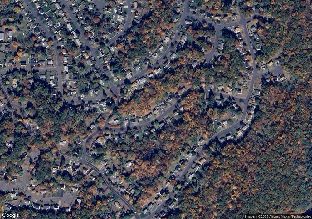
Map
Nearby Homes
- 109 Red Robin Rd
- 77 Meadow Lark Rd
- Lot #9 Morning Dove Rd Unit Lot 9
- Lot 9II Morning Dove Rd
- 110 Meadow Lark Rd
- 185 Bluebird Dr
- 418 Horton Hill Rd
- 108 Clark Rd Unit TRLR 10
- 21 Longwood Dr
- 39 Horton Hill Rd Unit 7C
- 31 Warm Earth Rd
- 43 Warm Earth Rd
- 57 Warm Earth Rd
- 73 Warm Earth Rd
- 825 Maple Hill Rd
- 1405 New Haven Rd
- 56 Morning Mist Rd
- 463 Mulberry St
- 55 Trout Brook Dr
- 97 Morning Mist Rd
- 94 Red Robin Rd
- 116 Red Robin Rd
- 85 Red Robin Rd
- 84 Red Robin Rd
- 124 Red Robin Rd
- 103 Red Robin Rd
- 91 Red Robin Rd
- 119 Red Robin Rd
- 252 Bluebird Dr
- 248 Bluebird Dr
- 76 Red Robin Rd
- 132 Red Robin Rd
- 244 Bluebird Dr
- 125 Red Robin Rd
- 25 Meadow Lark Rd
- 68 Red Robin Rd
- 77 Red Robin Rd
- 240 Bluebird Dr
- 31 Meadow Lark Rd
- 65 Red Robin Rd
Your Personal Tour Guide
Ask me questions while you tour the home.