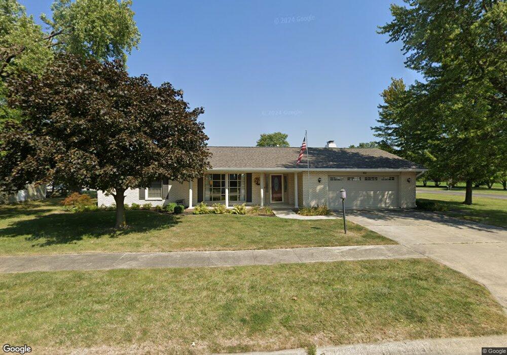
102 Rhine Blvd Arthur, IL 61911
Estimated Value: $213,530 - $275,000
2
Beds
2
Baths
1,935
Sq Ft
$129/Sq Ft
Est. Value
About This Home
This home is located at 102 Rhine Blvd, Arthur, IL 61911 and is currently estimated at $249,633, approximately $129 per square foot. 102 Rhine Blvd is a home located in Moultrie County with nearby schools including Arthur Grade School, Arthur Lovington Atwood Hammond High School, and Northside School.
Ownership History
Date
Name
Owned For
Owner Type
Purchase Details
Closed on
Mar 18, 2025
Sold by
Mcgrath Jo Ann and Mcgrath Joann
Bought by
Jo Ann Mcgrath Revocable Living Trust and Mcgrath
Current Estimated Value
Purchase Details
Closed on
Sep 8, 2011
Sold by
Massey Mary E
Bought by
Mcgrath John D and Mcgrath Joann
Home Financials for this Owner
Home Financials are based on the most recent Mortgage that was taken out on this home.
Original Mortgage
$85,000
Interest Rate
4.32%
Mortgage Type
New Conventional
Create a Home Valuation Report for This Property
The Home Valuation Report is an in-depth analysis detailing your home's value as well as a comparison with similar homes in the area
Purchase History
| Date | Buyer | Sale Price | Title Company |
|---|---|---|---|
| Jo Ann Mcgrath Revocable Living Trust | -- | None Listed On Document | |
| Mcgrath John D | $151,000 | None Available |
Source: Public Records
Mortgage History
| Date | Status | Borrower | Loan Amount |
|---|---|---|---|
| Previous Owner | Mcgrath John D | $85,000 |
Source: Public Records
Tax History
| Year | Tax Paid | Tax Assessment Tax Assessment Total Assessment is a certain percentage of the fair market value that is determined by local assessors to be the total taxable value of land and additions on the property. | Land | Improvement |
|---|---|---|---|---|
| 2024 | $13 | $66,373 | $3,041 | $63,332 |
| 2023 | $13 | $62,316 | $2,855 | $59,461 |
| 2022 | $13 | $64,863 | $4,812 | $60,051 |
| 2021 | $13 | $61,669 | $4,575 | $57,094 |
| 2020 | $13 | $59,217 | $4,393 | $54,824 |
| 2019 | $13 | $58,176 | $4,316 | $53,860 |
| 2018 | $13 | $54,599 | $3,219 | $51,380 |
| 2017 | $0 | $51,155 | $3,206 | $47,949 |
| 2016 | $5 | $51,546 | $3,213 | $48,333 |
| 2015 | $5 | $50,540 | $3,150 | $47,390 |
| 2014 | -- | $54,260 | $3,477 | $50,783 |
| 2013 | -- | $54,260 | $3,477 | $50,783 |
Source: Public Records
Map
Nearby Homes
- 221 S Hickory St
- 206 E Logan St
- 506 S Beech St
- 39 U S 36
- 39 US Highway 36
- 217 S Missouri St
- 212 S Illinois St
- 222 S Iowa St
- 3 Royal Ct
- 5 Royal Ct
- 2 Royal Ct
- 4 Royal Ct
- 330 E Central Ave
- 000 N Illinois
- 319 N Missouri St
- 503 N Missouri St
- 1227 E 100 North Rd
- 1233 E 100 Rd N
- 730 E County Road 750 N
- 600 Don Ryan St
Your Personal Tour Guide
Ask me questions while you tour the home.