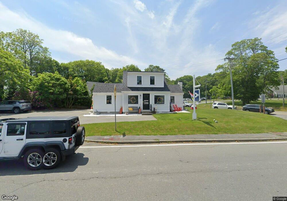
102 Route 6a Sandwich, MA 02563
Estimated Value: $471,271
Studio
1
Bath
1,182
Sq Ft
$399/Sq Ft
Est. Value
About This Home
This home is located at 102 Route 6a, Sandwich, MA 02563 and is currently estimated at $471,271, approximately $398 per square foot. 102 Route 6a is a home located in Barnstable County with nearby schools including Sandwich Middle High School, Waldorf School of Cape Cod, and Bridgeview Montessori School.
Ownership History
Date
Name
Owned For
Owner Type
Purchase Details
Closed on
Jan 27, 2020
Sold by
Kona Rt and Carlson
Bought by
Thatcher Ellery Llc
Current Estimated Value
Purchase Details
Closed on
Dec 28, 2000
Sold by
Ljs Rt and Sullivan Laura J
Bought by
Kona Rt and Carlson Joseph P
Purchase Details
Closed on
Nov 22, 1993
Sold by
Sullivan Laura J and Tassinari Charles
Bought by
Ljs Rt and Sullivan Laura J
Create a Home Valuation Report for This Property
The Home Valuation Report is an in-depth analysis detailing your home's value as well as a comparison with similar homes in the area
Purchase History
| Date | Buyer | Sale Price | Title Company |
|---|---|---|---|
| Thatcher Ellery Llc | $275,000 | None Available | |
| Kona Rt | $150,000 | -- | |
| Kona Rt | $150,000 | -- | |
| Ljs Rt | $80,000 | -- | |
| Ljs Rt | $80,000 | -- |
Source: Public Records
Mortgage History
| Date | Status | Borrower | Loan Amount |
|---|---|---|---|
| Previous Owner | Ljs Rt | $282,000 | |
| Previous Owner | Ljs Rt | $150,000 | |
| Previous Owner | Ljs Rt | $125,000 |
Source: Public Records
Tax History
| Year | Tax Paid | Tax Assessment Tax Assessment Total Assessment is a certain percentage of the fair market value that is determined by local assessors to be the total taxable value of land and additions on the property. | Land | Improvement |
|---|---|---|---|---|
| 2025 | $3,770 | $356,700 | $250,400 | $106,300 |
| 2024 | $3,620 | $335,200 | $231,200 | $104,000 |
| 2023 | $3,390 | $294,800 | $222,400 | $72,400 |
| 2022 | $3,745 | $284,600 | $213,800 | $70,800 |
| 2021 | $3,686 | $267,700 | $205,500 | $62,200 |
| 2020 | $3,957 | $276,500 | $199,900 | $76,600 |
| 2019 | $3,789 | $264,600 | $190,900 | $73,700 |
| 2018 | $5,314 | $254,600 | $182,400 | $72,200 |
| 2017 | $3,777 | $253,000 | $184,200 | $68,800 |
| 2016 | $3,425 | $236,700 | $174,800 | $61,900 |
| 2015 | $3,357 | $226,500 | $164,200 | $62,300 |
Source: Public Records
Map
Nearby Homes
- 97 Tupper Rd
- 97 Tupper Rd Unit 2
- 103 Massachusetts 6a
- 103 B Massachusetts 6a Unit 103 B
- 103 Route 6a Unit B
- 103 Route 6a Unit A
- 7 Be Unit B
- 0 Route 6a
- 0 Route 6a Unit 1 + 5 20505190
- 0 Route 6a Unit 20710224
- 0 Route 6a Unit 2016432
- 0 Route 6a Unit 6024941
- 0 Route 6a Unit 2017274
- 0 Route 6a Unit 2041501
- 0 Route 6a Unit 71373073
- 109 Route 6a
- 105 Massachusetts 6a
- 101 Route 6a
- 101 Route 6a Unit 3
- 101 Route 6a Unit 1
Your Personal Tour Guide
Ask me questions while you tour the home.