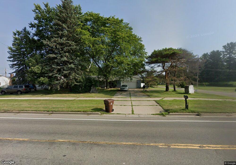
1020 Haslett Rd Haslett, MI 48840
Estimated Value: $299,000 - $336,000
3
Beds
--
Bath
1,762
Sq Ft
$182/Sq Ft
Est. Value
About This Home
This home is located at 1020 Haslett Rd, Haslett, MI 48840 and is currently estimated at $320,147, approximately $181 per square foot. 1020 Haslett Rd is a home located in Ingham County with nearby schools including Haslett High School, St. Martha School, and St Thomas Aquinas School.
Ownership History
Date
Name
Owned For
Owner Type
Purchase Details
Closed on
Apr 8, 2022
Sold by
Jayne Rockstad
Bought by
Rockstad Michelle
Current Estimated Value
Purchase Details
Closed on
Apr 5, 2010
Sold by
Rockstad Gregory Charles and Rockstad Jayne Marie
Bought by
Rockstad Gregory Charles and Rockstad Peter
Purchase Details
Closed on
Dec 9, 2004
Sold by
Rockstad Alfred John
Bought by
Rockstad Alfred John and Rockstad Gregory Charles
Purchase Details
Closed on
May 1, 1994
Bought by
Rockstad
Create a Home Valuation Report for This Property
The Home Valuation Report is an in-depth analysis detailing your home's value as well as a comparison with similar homes in the area
Home Values in the Area
Average Home Value in this Area
Purchase History
| Date | Buyer | Sale Price | Title Company |
|---|---|---|---|
| Rockstad Michelle | -- | None Listed On Document | |
| Rockstad Gregory Charles | -- | None Available | |
| Rockstad Alfred John | -- | -- | |
| Rockstad | $122,700 | -- |
Source: Public Records
Tax History
| Year | Tax Paid | Tax Assessment Tax Assessment Total Assessment is a certain percentage of the fair market value that is determined by local assessors to be the total taxable value of land and additions on the property. | Land | Improvement |
|---|---|---|---|---|
| 2025 | $5,331 | $143,500 | $29,700 | $113,800 |
| 2024 | $24 | $136,300 | $28,300 | $108,000 |
| 2023 | $5,036 | $127,200 | $26,900 | $100,300 |
| 2022 | $4,886 | $113,000 | $23,000 | $90,000 |
| 2021 | $4,723 | $107,400 | $20,800 | $86,600 |
| 2020 | $4,620 | $103,900 | $20,800 | $83,100 |
| 2019 | $4,460 | $98,400 | $22,500 | $75,900 |
| 2018 | $4,256 | $92,100 | $23,000 | $69,100 |
| 2017 | $4,066 | $89,000 | $23,300 | $65,700 |
| 2016 | $1,817 | $84,600 | $21,900 | $62,700 |
| 2015 | $1,817 | $79,100 | $40,485 | $38,615 |
| 2014 | $1,817 | $77,800 | $34,939 | $42,861 |
Source: Public Records
Map
Nearby Homes
- 5610 Silverleaf Ct
- 1172 Buckingham Rd
- 5614 Copper Creek Dr
- 5669 Copper Creek Dr
- 5603 Copper Creek Dr
- 612 Magenta Ct
- 1155 Teakwood Cir
- 5837 Carlton St
- 5384 van Atta Rd
- 5730 Whisperwood Dr
- 5573 Cade St
- 1235 Woodwind Trail
- 6046 Oakpark Trail
- 575 Piper Rd
- 6123 Cottage Dr
- 5684 Shaw St
- 0 van Atta Rd
- 6299 Quail St
- 5475 Maple Ridge Rd
- 5400 Maple Ridge Unit 14
- 1028 Haslett Rd
- 1036 Haslett Rd
- 5684 Woodside Dr
- 1044 Haslett Rd
- 5675 Woodside Dr
- 5635 Green Rd
- 5675 N Woodside Dr
- 5673 N Woodside Dr
- 1052 Haslett Rd
- 5672 Woodside Dr
- 1045 Haslett Rd
- 5673 Woodside Dr
- 5647 Green Rd
- 1060 Haslett Rd
- 1055 Haslett Rd
- 5662 Woodside Dr
- 5651 Woodside Dr
- 5659 Green Rd
- 1054 Cliffdale Dr
Your Personal Tour Guide
Ask me questions while you tour the home.