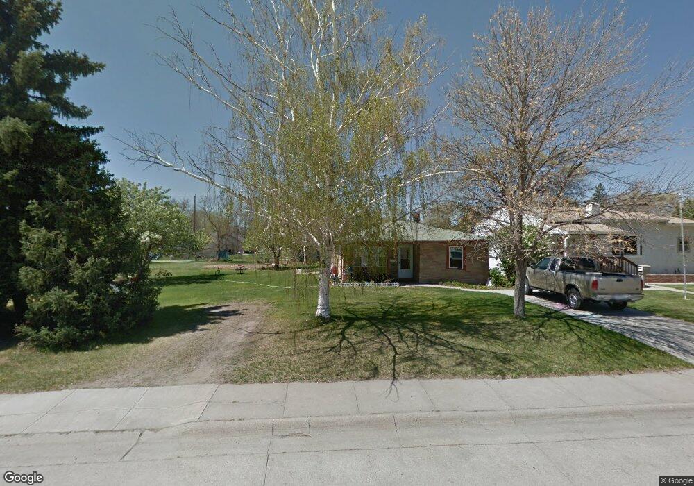
1020 Hudson Ave Alliance, NE 69301
Estimated Value: $120,000 - $147,000
About This Home
This home is located at 1020 Hudson Ave, Alliance, NE 69301 and is currently estimated at $134,450, approximately $95 per square foot. 1020 Hudson Ave is a home located in Box Butte County with nearby schools including Alliance High School, Immanuel Evangelical Lutheran School, and St. Agnes Academy.
Ownership History
We collect this data history from publicly available records. To have your information removed, we recommend requesting removal directly through your county’s website.
Purchase Details
Purchase Details
Home Financials for this Owner
Home Financials are based on the most recent Mortgage that was taken out on this home.Home Values in the Area
Average Home Value in this Area
Purchase History
We collect this data history from publicly available records. To have your information removed, we recommend requesting removal directly through your county’s website.
| Date | Buyer | Sale Price | Title Company |
|---|---|---|---|
| -- | -- | ||
| -- | Kunzman Title |
Mortgage History
We collect this data history from publicly available records. To have your information removed, we recommend requesting removal directly through your county’s website.
| Date | Status | Borrower | Loan Amount |
|---|---|---|---|
| Previous Owner | $57,000 |
Tax History
We collect this data history from publicly available records. To have your information removed, we recommend requesting removal directly through your county’s website.
| Year | Tax Paid | Tax Assessment Tax Assessment Total Assessment is a certain percentage of the fair market value that is determined by local assessors to be the total taxable value of land and additions on the property. | Land | Improvement |
|---|---|---|---|---|
| 2025 | $1,152 | $96,980 | $15,400 | $81,580 |
| 2024 | $1,105 | $88,220 | $14,000 | $74,220 |
| 2023 | $1,517 | $88,220 | $14,000 | $74,220 |
| 2022 | $1,606 | $88,175 | $12,600 | $75,575 |
| 2021 | $1,625 | $88,175 | $12,600 | $75,575 |
| 2020 | $1,621 | $88,175 | $12,600 | $75,575 |
| 2019 | $1,583 | $88,175 | $12,600 | $75,575 |
| 2018 | $1,575 | $88,175 | $12,600 | $75,575 |
| 2017 | $1,185 | $63,832 | $9,100 | $54,732 |
| 2016 | $1,171 | $63,832 | $9,100 | $54,732 |
| 2015 | $1,090 | $60,770 | $9,100 | $51,670 |
| 2014 | $1,090 | $60,770 | $9,100 | $51,670 |
Map
- 1119 Potash Ave
- 755 E 9th St
- 1008 Missouri Ave
- 1404 Duncan Ave
- 112 E 11th St
- 1103 Box Butte Ave
- 114 W 8th St
- 807 Laramie Ave
- 223 Sunset Dr
- 1103 Cheyenne Ave
- 1405 E 3rd St
- 519 Cheyenne Ave
- 122 W 4th St
- 820 Big Horn Ave
- 506 Cheyenne Ave
- 719 Toluca Ave
- 823 Emerson Ave
- 316 Big Horn Ave
- 1228 Emerson Ave
- 1232 Emerson Ave
- 1024 Hudson Ave
- 1019 Potash Ave
- 924 E 10th St
- 1009 Potash Ave
- 1007 Potash Ave
- 1104 Hudson Ave
- 1103 Potash Ave
- 904 E 10th St
- 1107 Potash Ave
- 1110 Hudson Ave
- 1103 Hudson Ave
- 717 E 10th St
- 723 E 10th St
- 719 E 10th St
- 1111 Potash Ave
- 715 E 10th St
- 743 E 10th St
- 1111 Hudson Ave
- 749 E 10th St
- 1115 Potash Ave
Ask me questions while you tour the home.