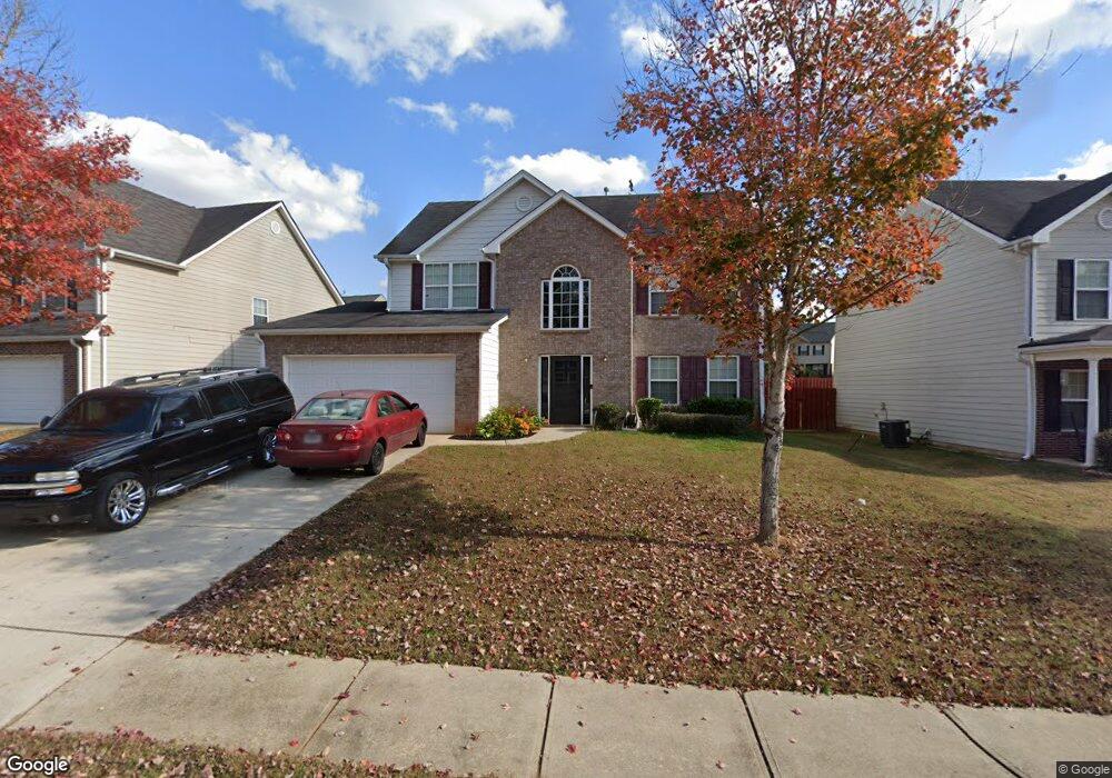
1020 Lear Dr Locust Grove, GA 30248
Estimated Value: $285,000 - $303,322
4
Beds
3
Baths
2,222
Sq Ft
$134/Sq Ft
Est. Value
About This Home
This home is located at 1020 Lear Dr, Locust Grove, GA 30248 and is currently estimated at $298,331, approximately $134 per square foot. 1020 Lear Dr is a home located in Henry County with nearby schools including Locust Grove Elementary School, Locust Grove Middle School, and Locust Grove High School.
Ownership History
Date
Name
Owned For
Owner Type
Purchase Details
Closed on
Oct 28, 2009
Sold by
Edson Tanger Ridge Llc
Bought by
Johnson Kamia
Current Estimated Value
Home Financials for this Owner
Home Financials are based on the most recent Mortgage that was taken out on this home.
Original Mortgage
$116,280
Outstanding Balance
$75,774
Interest Rate
5.04%
Mortgage Type
New Conventional
Estimated Equity
$222,557
Create a Home Valuation Report for This Property
The Home Valuation Report is an in-depth analysis detailing your home's value as well as a comparison with similar homes in the area
Home Values in the Area
Average Home Value in this Area
Purchase History
| Date | Buyer | Sale Price | Title Company |
|---|---|---|---|
| Johnson Kamia | $113,500 | -- |
Source: Public Records
Mortgage History
| Date | Status | Borrower | Loan Amount |
|---|---|---|---|
| Open | Johnson Kamia | $116,280 |
Source: Public Records
Tax History
| Year | Tax Paid | Tax Assessment Tax Assessment Total Assessment is a certain percentage of the fair market value that is determined by local assessors to be the total taxable value of land and additions on the property. | Land | Improvement |
|---|---|---|---|---|
| 2025 | $3,835 | $128,120 | $16,000 | $112,120 |
| 2024 | $3,835 | $117,040 | $16,000 | $101,040 |
| 2023 | $2,921 | $122,040 | $21,200 | $100,840 |
| 2022 | $2,827 | $96,240 | $21,200 | $75,040 |
| 2021 | $2,429 | $79,240 | $21,200 | $58,040 |
| 2020 | $2,203 | $69,680 | $12,000 | $57,680 |
| 2019 | $2,183 | $67,720 | $12,000 | $55,720 |
| 2018 | $1,838 | $55,920 | $10,000 | $45,920 |
| 2016 | $1,428 | $44,760 | $8,000 | $36,760 |
| 2015 | $1,459 | $44,560 | $8,000 | $36,560 |
| 2014 | $1,376 | $42,280 | $8,000 | $34,280 |
Source: Public Records
Map
Nearby Homes
- 2031 Theberton Trail
- 409 Kirkland Dr
- 544 Moline Way
- 269 Baumgard Way
- 188 Sophie Cir
- 842 Trillium Dr
- 838 Trillium Dr
- 837 Trillium Dr
- 833 Trillium Dr
- 830 Trillium Dr
- 825 Trillium Dr
- 846 Trillium Dr
- 361 Arnica Dr
- 198 Aster Ave
- 191 Aster Ave
- 1249 Big Poplar Way
- 531 Carleton Place
- 114 Aster Ave
- 345 Arnica Dr
- 349 Arnica Dr
- 1024 Lear Dr Unit 359
- 1024 Lear Dr
- 1016 Lear Dr
- 1113 Werre Way
- 1028 Lear Dr
- 1014 Lear Dr Unit 1
- 1014 Lear Dr
- 1014 Lear Dr
- 1014 Lear Dr Unit 1014
- 1123 Werre Way
- 1019 Lear Dr
- 1023 Lear Dr
- 1015 Lear Dr
- 1129 Werre Way
- 1030 Lear Dr
- 1029 Lear Dr Unit 315
- 1029 Lear Dr
- 1013 Lear Dr
- 1027 Lear Dr Unit 317
- 1027 Lear Dr
Your Personal Tour Guide
Ask me questions while you tour the home.