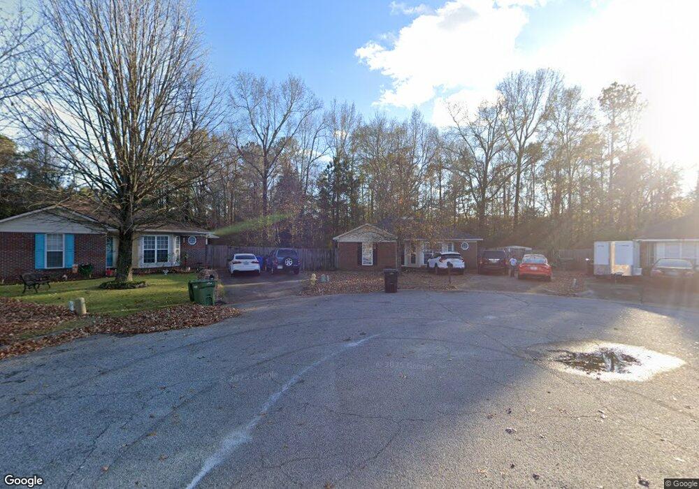
1020 Mitchell Ridge Dr Columbus, GA 31907
East Columbus NeighborhoodEstimated Value: $153,000 - $178,105
About This Home
This home is located at 1020 Mitchell Ridge Dr, Columbus, GA 31907 and is currently estimated at $165,276, approximately $121 per square foot. 1020 Mitchell Ridge Dr is a home located in Muscogee County with nearby schools including Forrest Road Elementary School, Fort Middle School, and Kendrick High School.
Ownership History
We collect this data history from publicly available records. To have your information removed, we recommend requesting removal directly through your county’s website.
Purchase Details
Home Financials for this Owner
Home Financials are based on the most recent Mortgage that was taken out on this home.Purchase Details
Home Values in the Area
Average Home Value in this Area
Purchase History
We collect this data history from publicly available records. To have your information removed, we recommend requesting removal directly through your county’s website.
| Date | Buyer | Sale Price | Title Company |
|---|---|---|---|
| $63,000 | -- | ||
| $78,436 | -- | ||
| $78,436 | -- |
Mortgage History
We collect this data history from publicly available records. To have your information removed, we recommend requesting removal directly through your county’s website.
| Date | Status | Borrower | Loan Amount |
|---|---|---|---|
| Open | $47,000 | ||
| Previous Owner | $97,000 | ||
| Previous Owner | $23,120 | ||
| Previous Owner | $10,508 |
Tax History
We collect this data history from publicly available records. To have your information removed, we recommend requesting removal directly through your county’s website.
| Year | Tax Paid | Tax Assessment Tax Assessment Total Assessment is a certain percentage of the fair market value that is determined by local assessors to be the total taxable value of land and additions on the property. | Land | Improvement |
|---|---|---|---|---|
| 2025 | $2,377 | $60,732 | $14,080 | $46,652 |
| 2024 | $2,377 | $60,732 | $14,080 | $46,652 |
| 2023 | $239 | $60,732 | $14,080 | $46,652 |
| 2022 | $2,117 | $51,844 | $14,080 | $37,764 |
| 2021 | $1,716 | $42,036 | $14,080 | $27,956 |
| 2020 | $1,717 | $42,036 | $14,080 | $27,956 |
| 2019 | $1,722 | $42,036 | $14,080 | $27,956 |
| 2018 | $1,722 | $42,036 | $14,080 | $27,956 |
| 2017 | $1,728 | $42,036 | $14,080 | $27,956 |
| 2016 | $1,040 | $25,200 | $7,280 | $17,920 |
| 2015 | $1,041 | $25,200 | $7,280 | $17,920 |
| 2014 | $1,607 | $38,864 | $7,280 | $31,584 |
| 2013 | -- | $38,864 | $7,280 | $31,584 |
Map
- 2216 Hunter Ct
- 2737 Schatulga Rd
- 2312 Burnside Dr
- 2312 Burnside Dr
- 1933 Westpark Dr
- 1837 Pine Valley Ct
- 1915 Schatulga Rd
- 1909 Schatulga Rd
- 2107 Burnside Dr
- 6328 Lemongrass Dr
- 6286 Lemongrass Dr
- 6316 Lemongrass Dr
- 6292 Lemongrass Dr
- 6310 Lemongrass Dr
- 6305 Lemongrass Dr
- 6263 Lemongrass Dr
- 6269 Lemongrass Dr
- 6323 Lemongrass Dr
- 6311 Lemongrass Dr
- 6317 Lemongrass Dr
- 1018 Mitchell Ridge Dr
- 1019 Mitchell Ridge Dr
- 1017 Mitchell Ridge Dr
- 1016 Mitchell Ridge Dr
- 1015 Mitchell Ridge Dr
- 1014 Mitchell Ridge Dr
- 2020 Mitchell Ridge Ct
- 1013 Mitchell Ridge Dr
- 2024 Mitchell Ridge Ct
- 2223 Hunter Ct
- 2016 Mitchell Ridge Ct
- 2227 Hunter Ct
- 1012 Mitchell Ridge Dr
- 1011 Mitchell Ridge Dr
- 3 Jabbar Ct
- 2012 Mitchell Ridge Ct
- 2219 Hunter Ct
- 4 Jabbar Ct
- 2228 Hunter Ct
- 1010 Mitchell Ridge Dr
Ask me questions while you tour the home.