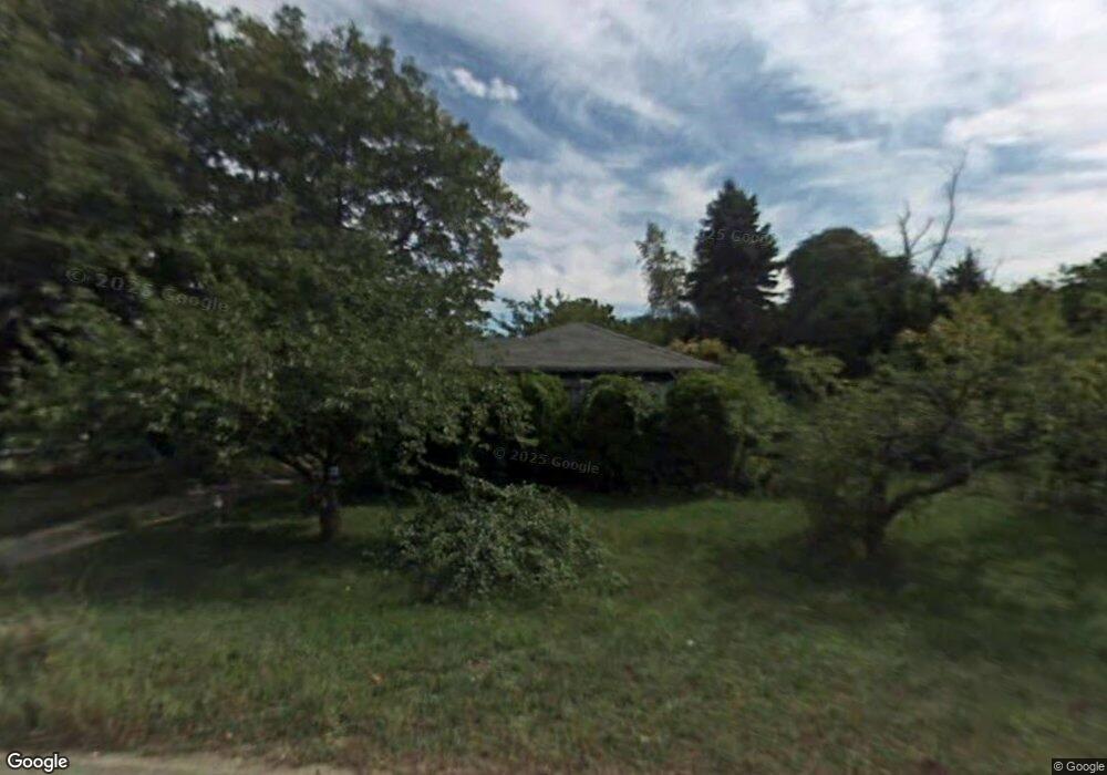
1021 Ocean St Marshfield, MA 02050
Ocean Bluff-Brant Rock NeighborhoodEstimated Value: $480,000 - $556,000
2
Beds
1
Bath
920
Sq Ft
$564/Sq Ft
Est. Value
About This Home
This home is located at 1021 Ocean St, Marshfield, MA 02050 and is currently estimated at $518,839, approximately $563 per square foot. 1021 Ocean St is a home located in Plymouth County with nearby schools including Daniel Webster, Furnace Brook Middle School, and Marshfield High School.
Create a Home Valuation Report for This Property
The Home Valuation Report is an in-depth analysis detailing your home's value as well as a comparison with similar homes in the area
Home Values in the Area
Average Home Value in this Area
Tax History
| Year | Tax Paid | Tax Assessment Tax Assessment Total Assessment is a certain percentage of the fair market value that is determined by local assessors to be the total taxable value of land and additions on the property. | Land | Improvement |
|---|---|---|---|---|
| 2025 | $4,235 | $427,800 | $295,300 | $132,500 |
| 2024 | $4,018 | $386,700 | $281,200 | $105,500 |
| 2023 | $3,594 | $338,200 | $251,100 | $87,100 |
| 2022 | $3,594 | $277,500 | $196,900 | $80,600 |
| 2021 | $3,547 | $268,900 | $196,900 | $72,000 |
| 2020 | $3,178 | $238,400 | $170,700 | $67,700 |
| 2019 | $3,132 | $234,100 | $170,700 | $63,400 |
| 2018 | $3,130 | $234,100 | $170,700 | $63,400 |
| 2017 | $3,055 | $222,700 | $170,700 | $52,000 |
| 2016 | $3,008 | $216,700 | $164,700 | $52,000 |
| 2015 | $2,859 | $215,100 | $164,700 | $50,400 |
| 2014 | $2,751 | $207,000 | $150,700 | $56,300 |
Source: Public Records
Map
Nearby Homes
- 1028 Ocean St
- 1080 Ocean St
- 120 Monitor Rd
- 107 Towne Way
- 91 Winslow St
- 1221 Ocean St
- 204 Foster Ave
- 155 Quincy Ave
- 19 Copeland St
- 134 Wellington Ave
- 18 Somerville St
- 21 Washington Ave
- 71 Webster Ave
- 8 Duxbury St
- 757 S River St
- 46 Fairways Edge Dr
- 264 Webster St
- 245 Careswell St
- 713 Webster St
- 555 Webster St
Your Personal Tour Guide
Ask me questions while you tour the home.