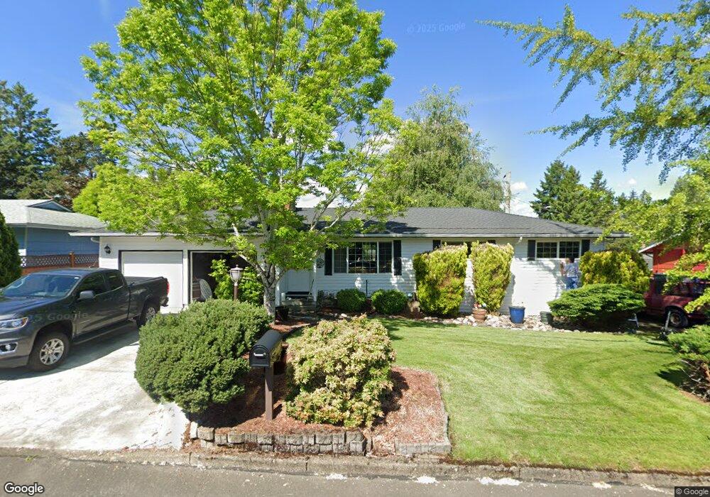
1021 SE 214th Ave Gresham, OR 97030
North Central NeighborhoodEstimated Value: $451,000 - $469,229
3
Beds
2
Baths
1,264
Sq Ft
$363/Sq Ft
Est. Value
About This Home
This home is located at 1021 SE 214th Ave, Gresham, OR 97030 and is currently estimated at $459,307, approximately $363 per square foot. 1021 SE 214th Ave is a home located in Multnomah County with nearby schools including North Gresham Elementary School, Clear Creek Middle School, and Gresham High School.
Ownership History
Date
Name
Owned For
Owner Type
Purchase Details
Closed on
Sep 17, 2003
Sold by
Swanson Janice J
Bought by
Garner Anthony
Current Estimated Value
Home Financials for this Owner
Home Financials are based on the most recent Mortgage that was taken out on this home.
Original Mortgage
$131,900
Outstanding Balance
$60,947
Interest Rate
6.3%
Mortgage Type
Purchase Money Mortgage
Estimated Equity
$398,360
Purchase Details
Closed on
Mar 15, 1995
Sold by
Swanson Ralph A
Bought by
Swanson Ralph A and The Ralph Swanson Trust
Create a Home Valuation Report for This Property
The Home Valuation Report is an in-depth analysis detailing your home's value as well as a comparison with similar homes in the area
Home Values in the Area
Average Home Value in this Area
Purchase History
We collect this data history from publicly available records. To have your information removed, we recommend requesting removal directly through your county’s website.
| Date | Buyer | Sale Price | Title Company |
|---|---|---|---|
| Garner Anthony | $164,900 | Transnation | |
| Swanson Ralph A | -- | -- |
Source: Public Records
Mortgage History
We collect this data history from publicly available records. To have your information removed, we recommend requesting removal directly through your county’s website.
| Date | Status | Borrower | Loan Amount |
|---|---|---|---|
| Open | Garner Anthony | $131,900 | |
| Closed | Garner Anthony | $16,490 |
Source: Public Records
Tax History
| Year | Tax Paid | Tax Assessment Tax Assessment Total Assessment is a certain percentage of the fair market value that is determined by local assessors to be the total taxable value of land and additions on the property. | Land | Improvement |
|---|---|---|---|---|
| 2025 | $4,600 | $226,040 | -- | -- |
| 2024 | $4,403 | $219,460 | -- | -- |
| 2023 | $4,012 | $213,070 | $0 | $0 |
| 2022 | $3,900 | $206,870 | $0 | $0 |
| 2021 | $3,801 | $200,850 | $0 | $0 |
| 2020 | $3,577 | $195,000 | $0 | $0 |
| 2019 | $3,483 | $189,330 | $0 | $0 |
| 2018 | $3,321 | $183,820 | $0 | $0 |
| 2017 | $3,186 | $178,470 | $0 | $0 |
| 2016 | $2,810 | $173,280 | $0 | $0 |
| 2015 | $2,749 | $168,240 | $0 | $0 |
| 2014 | $2,682 | $163,340 | $0 | $0 |
Source: Public Records
Map
Nearby Homes
- 21532 SE Alder St
- 21260 SE Stark St
- 21016 SE Stark St Unit 71
- 21016 SE Stark St Unit 69
- 21525 SE Oak St
- 830 NW Council Dr
- 2013 NW Bella Vista Dr
- 21553 SE Ankeny Terrace
- 915 SE 205th Dr
- 581 SE 204th Place
- 22043 SE Oak St
- 1861 NW Wonderview Ave
- 1035 SE 225th Ave
- 21936 NE Couch St
- 1657 NW 13th St
- 1304 NW Victoria Ave
- 522 SE 199th Ave
- 19776 SE Stark St Unit 147
- 0 SE Burnside St
- 105 NW 13th St
- 1043 SE 214th Ave
- 1005 SE 214th Ave
- 21330 SE Yamhill St
- 1020 SE 213th Ave
- 1014 SE 213th Ave
- 21320 SE Yamhill St
- 1022 SE 214th Ave
- 1010 SE 214th Ave
- 1044 SE 214th Ave
- 21304 SE Yamhill St
- 21337 SE Yamhill St
- 1054 SE 214th Ave
- 1067 SE 214th Ave
- 910 SE 213th Place
- 1034 SE 213th Ave
- 910 SE 214th Ave
- 1066 SE 214th Ave
- 1019 SE 213th Ave
- 833 SE 214th Ave
- 1075 SE 214th Ave
Your Personal Tour Guide
Ask me questions while you tour the home.