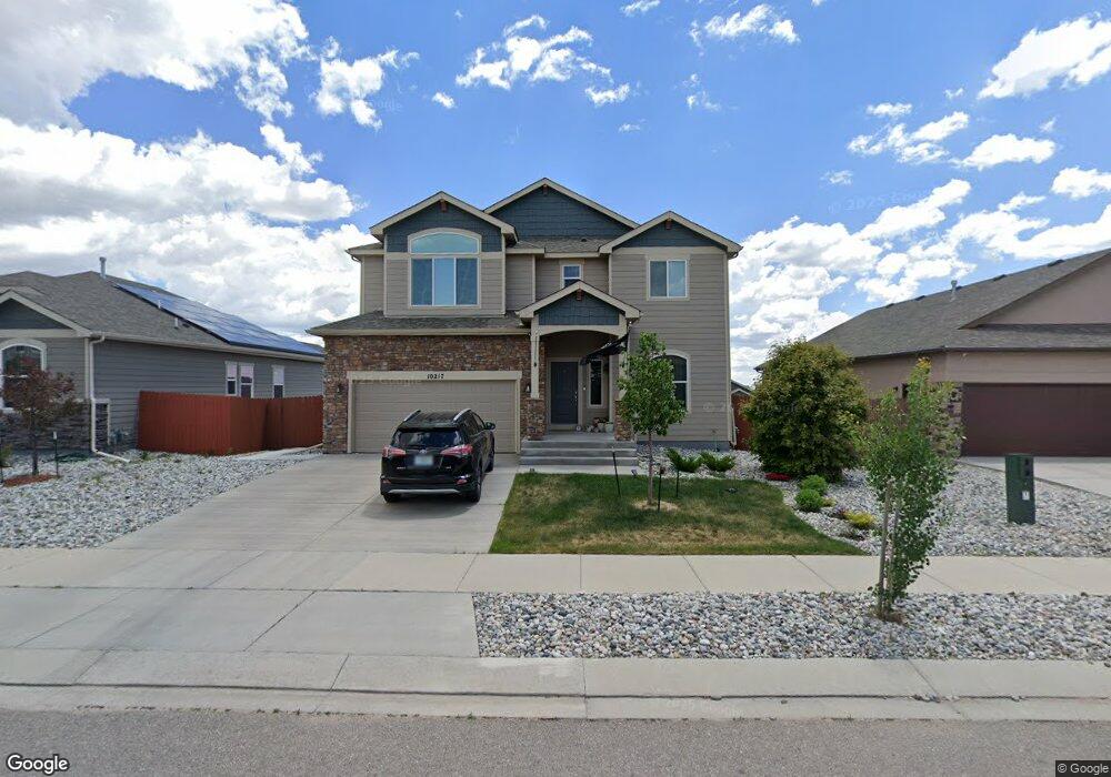
10233 Boulder Ridge Dr Peyton, CO 80831
Falcon NeighborhoodEstimated Value: $534,000 - $547,000
About This Home
This home is located at 10233 Boulder Ridge Dr, Peyton, CO 80831 and is currently estimated at $540,601, approximately $317 per square foot. 10233 Boulder Ridge Dr is a home located in El Paso County with nearby schools including Meridian Ranch Elementary School, Falcon Middle School, and Falcon High School.
Ownership History
We collect this data history from publicly available records. To have your information removed, we recommend requesting removal directly through your county’s website.
Purchase Details
Home Financials for this Owner
Home Financials are based on the most recent Mortgage that was taken out on this home.Purchase Details
Home Financials for this Owner
Home Financials are based on the most recent Mortgage that was taken out on this home.Purchase Details
Home Financials for this Owner
Home Financials are based on the most recent Mortgage that was taken out on this home.Home Values in the Area
Average Home Value in this Area
Purchase History
We collect this data history from publicly available records. To have your information removed, we recommend requesting removal directly through your county’s website.
| Date | Buyer | Sale Price | Title Company |
|---|---|---|---|
| $525,000 | Stewart Title Company | ||
| $478,000 | Empire Title Co Springs Llc | ||
| $344,130 | Unified Title Co |
Mortgage History
We collect this data history from publicly available records. To have your information removed, we recommend requesting removal directly through your county’s website.
| Date | Status | Borrower | Loan Amount |
|---|---|---|---|
| Open | $498,750 | ||
| Previous Owner | $488,994 | ||
| Previous Owner | $353,256 | ||
| Previous Owner | $351,528 |
Tax History
We collect this data history from publicly available records. To have your information removed, we recommend requesting removal directly through your county’s website.
| Year | Tax Paid | Tax Assessment Tax Assessment Total Assessment is a certain percentage of the fair market value that is determined by local assessors to be the total taxable value of land and additions on the property. | Land | Improvement |
|---|---|---|---|---|
| 2026 | $3,393 | $35,070 | ||
| 2025 | $3,295 | $35,070 | ||
| 2024 | $3,169 | $35,920 | $6,420 | $29,500 |
| 2022 | $2,794 | $27,680 | $5,020 | $22,660 |
| 2021 | $2,896 | $28,480 | $5,170 | $23,310 |
| 2020 | $2,734 | $24,930 | $4,680 | $20,250 |
| 2019 | $2,719 | $24,930 | $4,680 | $20,250 |
| 2018 | $2,681 | $24,330 | $4,280 | $20,050 |
| 2017 | $2,117 | $24,330 | $4,280 | $20,050 |
| 2016 | $30 | $290 | $290 | $0 |
Map
- 10202 Boulder Ridge Dr
- 10240 Hidden Park Way
- 10296 Hidden Park Way
- 12931 Stone Valley Dr
- 13796 Park Meadows Dr
- 10104 Bluffstone Ct
- 13713 Park Meadows Dr
- 10225 Mt Lincoln Dr
- 12985 Mt Harvard Dr
- 9939 Hidden Ranch Ct
- 12951 Ranch Gate Dr
- 10417 Mt Lincoln Dr
- 9830 Hidden Ranch Ct
- 9962 Hidden Ranch Ct
- 12828 Stone Valley Dr
- 10522 Rolling Peaks Dr
- 9962 Emerald Vista Dr
- 12820 Stone Valley Dr
- 9902 Emerald Vista Dr
- 10451 Rolling Peaks Dr
- 10249 Boulder Ridge Dr
- 10217 Boulder Ridge Dr
- 10222 Prairie Ridge Ct
- 10265 Boulder Ridge Dr
- 10230 Prairie Ridge Ct
- 10238 Prairie Ridge Ct
- 10201 Boulder Ridge Dr
- 10234 Boulder Ridge Dr
- 10281 Boulder Ridge Dr
- 4047 Ryedale Way
- 4125 Wyedale Way
- 3969 Wyedale Way
- 3956 Ryedale Way
- 3969 Waydale Way
- 4029 Ryedale Way
- 4107 Wyedale Way
- 4047 Wyedale Way
- 4120 Wyedale Way
- 3975 Wyedale Way
- 3963 Wyedale Way
Ask me questions while you tour the home.