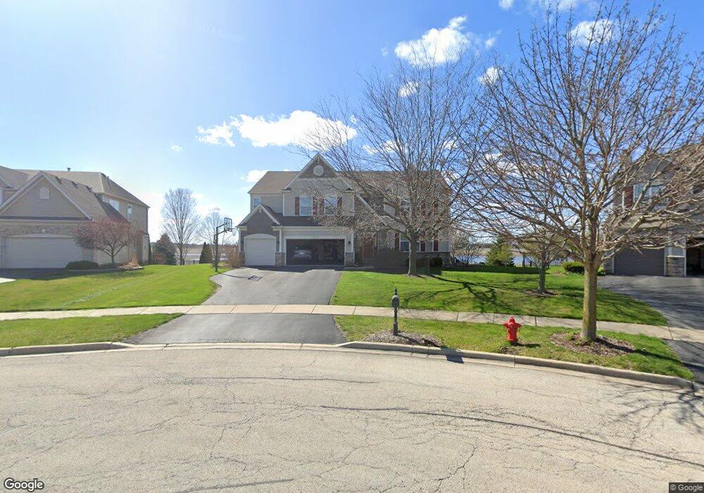
1024 Bennett Ct North Aurora, IL 60542
Nelson Lake NeighborhoodEstimated Value: $576,123 - $672,000
Studio
1
Bath
3,827
Sq Ft
$168/Sq Ft
Est. Value
About This Home
This home is located at 1024 Bennett Ct, North Aurora, IL 60542 and is currently estimated at $641,781, approximately $167 per square foot. 1024 Bennett Ct is a home located in Kane County with nearby schools including Kaneland Blackberry Creek Elementary School, Harter Middle School, and Kaneland High School.
Ownership History
Date
Name
Owned For
Owner Type
Purchase Details
Closed on
Jun 14, 2007
Sold by
Neumann Homes Inc
Bought by
Kottmeyer Nicholas W and Kottmeyer Brandie L
Current Estimated Value
Home Financials for this Owner
Home Financials are based on the most recent Mortgage that was taken out on this home.
Original Mortgage
$320,000
Outstanding Balance
$195,912
Interest Rate
6.2%
Mortgage Type
Construction
Estimated Equity
$445,869
Create a Home Valuation Report for This Property
The Home Valuation Report is an in-depth analysis detailing your home's value as well as a comparison with similar homes in the area
Home Values in the Area
Average Home Value in this Area
Purchase History
| Date | Buyer | Sale Price | Title Company |
|---|---|---|---|
| Kottmeyer Nicholas W | $428,500 | Chicago Title Insurance Co |
Source: Public Records
Mortgage History
| Date | Status | Borrower | Loan Amount |
|---|---|---|---|
| Open | Kottmeyer Nicholas W | $320,000 |
Source: Public Records
Tax History
| Year | Tax Paid | Tax Assessment Tax Assessment Total Assessment is a certain percentage of the fair market value that is determined by local assessors to be the total taxable value of land and additions on the property. | Land | Improvement |
|---|---|---|---|---|
| 2024 | $12,786 | $148,206 | $14,860 | $133,346 |
| 2023 | $12,349 | $133,760 | $13,412 | $120,348 |
| 2022 | $13,334 | $139,433 | $12,309 | $127,124 |
| 2021 | $12,966 | $133,454 | $11,781 | $121,673 |
| 2020 | $12,735 | $130,326 | $11,505 | $118,821 |
| 2019 | $12,862 | $128,413 | $11,336 | $117,077 |
| 2018 | $13,436 | $130,510 | $11,336 | $119,174 |
| 2017 | $13,498 | $129,026 | $11,207 | $117,819 |
| 2016 | $12,509 | $117,788 | $10,911 | $106,877 |
| 2015 | -- | $108,752 | $10,485 | $98,267 |
| 2014 | -- | $113,308 | $11,666 | $101,642 |
| 2013 | -- | $113,308 | $11,666 | $101,642 |
Source: Public Records
Map
Nearby Homes
- 1009 Bennett Ct
- 2S976 Deerpath Rd
- 664 Bennett Dr
- 2593 Moutray Ln
- 2519 Imgrund Rd Unit 3
- 647 Bennett Dr
- 2S720 Nelson Lake Rd
- 3S177 Deerpath Rd
- 890 Stratford Dr
- 2518 Imgrund Rd Unit 3
- 924 Fair Meadow St
- 601 Meade Blvd
- 512 Bennett Dr
- 925 Fair Meadow St
- 1791 Breton Ave
- 2184 Schrader Ln
- 1799 Breton Ave
- 1792 Breton Ave
- 867 Fair Meadow Ct
- 443 Glover Dr
- 1016 Bennett Ct
- 1032 Bennett Ct
- 1008 Bennett Ct
- 1033 Bennett Dr
- 1033 Bennett Ct
- 1025 Bennett Dr
- 1000 Bennett Ct
- 1017 Bennett Ct
- 1025 Bennett Ct Unit 6
- 1000 Bennett Dr
- 1009 Bennett Dr
- 1001 Bennett Ct
- 985 Bennett Dr
- 968 Bennett Dr
- 977 Bennett Dr
- 960 Bennett Dr
- 969 Bennett Dr
- 952 Bennett Dr
- 39W135 Seavey Rd
- 961 Bennett Dr
Your Personal Tour Guide
Ask me questions while you tour the home.