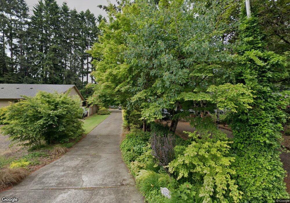
1025 Dollar St West Linn, OR 97068
Willamette NeighborhoodEstimated Value: $675,966 - $765,000
4
Beds
3
Baths
2,499
Sq Ft
$289/Sq Ft
Est. Value
About This Home
This home is located at 1025 Dollar St, West Linn, OR 97068 and is currently estimated at $721,492, approximately $288 per square foot. 1025 Dollar St is a home located in Clackamas County with nearby schools including Stafford Primary School, West Linn High School, and Three Rivers Charter School.
Ownership History
Date
Name
Owned For
Owner Type
Purchase Details
Closed on
Aug 13, 2002
Sold by
Strudler Gary and Strudler Heather L
Bought by
Kraus Jeff J and Woodfint Carol A
Current Estimated Value
Home Financials for this Owner
Home Financials are based on the most recent Mortgage that was taken out on this home.
Original Mortgage
$203,000
Interest Rate
6.51%
Purchase Details
Closed on
Mar 16, 1998
Sold by
Luccio John A and Luccio Margaret W
Bought by
Strudler Gary and Strudler Heather L
Home Financials for this Owner
Home Financials are based on the most recent Mortgage that was taken out on this home.
Original Mortgage
$167,500
Interest Rate
7.02%
Purchase Details
Closed on
Nov 19, 1996
Sold by
Carpenter Harold P and Carpenter Peggy A
Bought by
Fletcher Robert L
Create a Home Valuation Report for This Property
The Home Valuation Report is an in-depth analysis detailing your home's value as well as a comparison with similar homes in the area
Home Values in the Area
Average Home Value in this Area
Purchase History
| Date | Buyer | Sale Price | Title Company |
|---|---|---|---|
| Kraus Jeff J | $258,000 | First American Title Ins Co | |
| Strudler Gary | $229,500 | Fidelity National Title Co | |
| Fletcher Robert L | $255,000 | Chicago Title Insurance Co |
Source: Public Records
Mortgage History
| Date | Status | Borrower | Loan Amount |
|---|---|---|---|
| Closed | Kraus Jeff J | $203,000 | |
| Previous Owner | Strudler Gary | $167,500 |
Source: Public Records
Tax History
| Year | Tax Paid | Tax Assessment Tax Assessment Total Assessment is a certain percentage of the fair market value that is determined by local assessors to be the total taxable value of land and additions on the property. | Land | Improvement |
|---|---|---|---|---|
| 2025 | $6,370 | $330,535 | -- | -- |
| 2024 | $6,132 | $320,908 | -- | -- |
| 2023 | $6,132 | $311,562 | $0 | $0 |
| 2022 | $5,787 | $302,488 | $0 | $0 |
| 2021 | $5,494 | $293,678 | $0 | $0 |
| 2020 | $5,531 | $285,125 | $0 | $0 |
| 2019 | $5,275 | $276,821 | $0 | $0 |
| 2018 | $5,035 | $268,758 | $0 | $0 |
| 2017 | $4,815 | $260,930 | $0 | $0 |
| 2016 | $4,676 | $253,330 | $0 | $0 |
Source: Public Records
Map
Nearby Homes
- 2077 Ostman Rd
- 2083 Ostman Rd
- 769 Nicole Dr
- 1220 Farrview Ct
- 2250 River Heights Cir
- 1310 Sherri Ct
- 1694 16th St
- 23044 SW Ulsky Rd
- 1690 16th St
- 25545 Katherine Ct
- 1721 Dollar St Unit 1721
- 1679 Timothy Ln
- 850 Springtree Ln Unit 850
- 1791 Blankenship Rd
- 1324 Farrvista Dr
- 4335 Summerlinn Dr
- 3850 Summerlinn Dr Unit 58
- 1640 Village Park Place
- 3650 Summerlinn Dr Unit 49
- 4555 Summerlinn Way
- 1007 Dollar St
- 1045 Dollar St
- 1850 Joseph Fields St
- 1850 Joseph Field St
- 1855 Joseph Fields St
- 1855 Joseph Field St
- 1834 Joseph Fields St
- 1834 Joseph Field St
- 1846 Joseph Fields St
- 1846 Joseph Field St
- 2001 Fields Dr
- 1849 Joseph Fields St
- 2077 Victory Ln
- 2079 Victory Ln
- 1095 Dollar St
- 2083 Victory Ln
- 1072 Epperly Way
- 1076 Epperly Way
- 1088 Dollar St
- 1837 Joseph Fields St
Your Personal Tour Guide
Ask me questions while you tour the home.