1027 Panoramic Pointe Unit 2 Buford, GA 30518
Estimated Value: $538,000 - $568,568
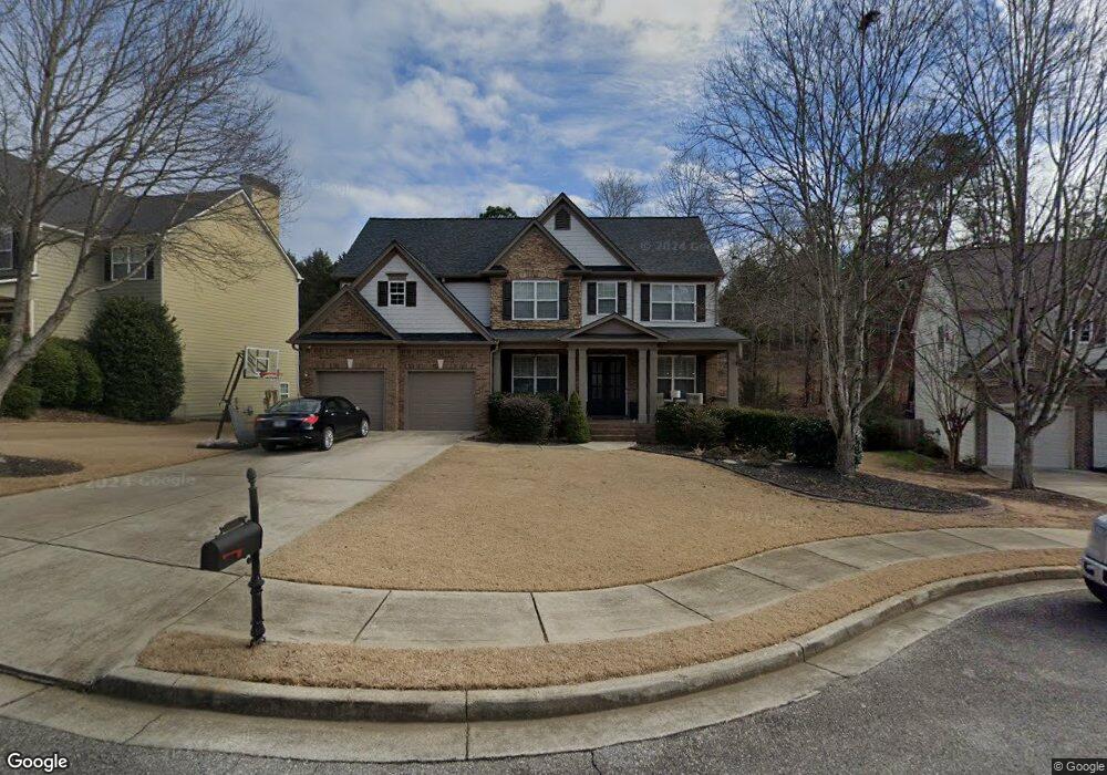
About This Home
This home is located at 1027 Panoramic Pointe Unit 2, Buford, GA 30518 and is currently estimated at $557,142, approximately $213 per square foot. 1027 Panoramic Pointe Unit 2 is a home located in Gwinnett County with nearby schools including White Oak Elementary School, Lanier Middle School, and Lanier High School.
Ownership History
We collect this data history from publicly available records. To have your information removed, we recommend requesting removal directly through your county’s website.
Purchase Details
Purchase Details
Home Financials for this Owner
Home Financials are based on the most recent Mortgage that was taken out on this home.Purchase Details
Home Financials for this Owner
Home Financials are based on the most recent Mortgage that was taken out on this home.Home Values in the Area
Average Home Value in this Area
Purchase History
We collect this data history from publicly available records. To have your information removed, we recommend requesting removal directly through your county’s website.
| Date | Buyer | Sale Price | Title Company |
|---|---|---|---|
| -- | -- | ||
| $254,900 | -- | ||
| $165,600 | -- |
Mortgage History
We collect this data history from publicly available records. To have your information removed, we recommend requesting removal directly through your county’s website.
| Date | Status | Borrower | Loan Amount |
|---|---|---|---|
| Previous Owner | $203,850 | ||
| Previous Owner | $740,300 |
Tax History
We collect this data history from publicly available records. To have your information removed, we recommend requesting removal directly through your county’s website.
| Year | Tax Paid | Tax Assessment Tax Assessment Total Assessment is a certain percentage of the fair market value that is determined by local assessors to be the total taxable value of land and additions on the property. | Land | Improvement |
|---|---|---|---|---|
| 2025 | $8,180 | $248,280 | $50,000 | $198,280 |
| 2024 | $7,697 | $205,880 | $39,600 | $166,280 |
| 2023 | $7,697 | $205,880 | $39,600 | $166,280 |
| 2022 | $6,941 | $185,400 | $24,800 | $160,600 |
| 2021 | $5,564 | $144,280 | $24,800 | $119,480 |
| 2020 | $5,598 | $144,280 | $24,800 | $119,480 |
| 2019 | $4,926 | $131,000 | $24,800 | $106,200 |
| 2018 | $4,676 | $123,640 | $22,000 | $101,640 |
| 2016 | $4,018 | $104,560 | $19,360 | $85,200 |
| 2015 | $4,062 | $104,560 | $19,360 | $85,200 |
| 2014 | -- | $104,560 | $19,360 | $85,200 |
Map
- 1038 Island View Ct Unit 2
- 1000 Island Bluff Ln Unit 1
- 6870 River Island Cir
- 1131 Blue Water Ct Unit 2
- 6945 Melody Ridge Rd
- 6945 Melody Ridge Rd
- 6437 Blue Water Dr
- 6815 Grand Magnolia Dr
- 863 van Briggle Path
- 922 Homepark Cir
- 1275 Mountain Ivey Ct
- 6728 Pierless Ave
- 962 Homepark Cir
- 6640 Grand Magnolia Dr
- 6858 Pierless Ave
- 1146 Whisper Cove Dr
- 639 Grand Folia Ct
- 6108 Pierless Ave
- 6740 Pannell Rd
- 734 Binkley Walk
- 1037 Panoramic Point
- 1017 Panoramic Pointe
- 1017 Panoramic Point
- 7165 River Island Cir Unit 2
- 1047 Panoramic Pointe Unit 2
- 7155 River Island Cir
- 7135 River Island Cir
- 1007 Panoramic Pointe
- 1007 Panoramic Point
- 7160 River Island Cir Unit 2
- 1057 Panoramic Pointe Unit 2
- 1022 Panoramic Pointe NE
- 1022 Panoramic Pointe
- 1057 Panoramic Pointe NE
- 1032 Panoramic Point Unit 2
- 1032 Panoramic Point
- 1032 Panoramic Pointe
- 1012 Panoramic Pointe
- 1012 Panoramic Point Unit 2
- 1012 Panoramic Point
Ask me questions while you tour the home.